
Near Gaffney in Cherokee County, South Carolina — The American South (South Atlantic)
A Loyalist Base
Fort Thicketty
| — | The Liberty Trail S.C. | — |
Photographed by Mark Parker, October 5, 2025
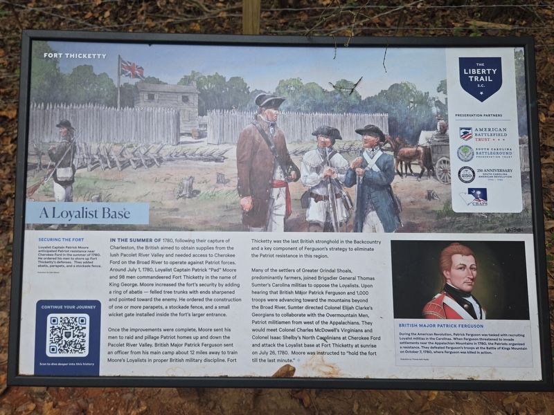
1. A Loyalist Base Marker
(Preface)
Securing the Fort
Loyalist Captain Patrick Moore anticipated Patriot resistance near Cherokee Ford in the summer of 1780. He ordered his man to shore up Fort Thicketty's defenses. They added a atis, parapets, and a stockade fence. Illustration by Dale Watson
In the summer of 1780, following their capture of Charleston, the British aimed to obtain supplies from the lush Pacolet River Valley and needed access to Cherokee Ford on the Broad River to operate against Patriot forces. Around July 1, 1780, Loyalist Captain Patrick "Pad" Moore and 98 men commandeered Fort Thicketty in the name of King George. Moore increased the fort's security by adding a ring of abatis — felled tree trunks with ends sharpened and pointed toward the enemy. He ordered the construction of one or more parapets, a stockade fence, and a small wicket gate installed inside the fort's larger entrance.
Once the improvements were complete, Moore sent his men to raid and pillage Patriot homes up and down the Pacolet River Valley. British Major Patrick Ferguson sent an officer from his main camp about 12 miles away to train Moore's Loyalists
this page online
Many of the settlers of Greater Grindal Shoals, predominantly farmers, joined Brigadier General Thomas Sumter's Carolina militias to oppose the Loyalists. Upon hearing that British Major Patrick Ferguson and 1,000 troops were advancing toward the mountains beyond the Broad River, Sumter directed Colonel Elijah Clarke's Georgians to collaborate with the Overmountain Men, Patriot militiamen from west of the Appalachians. They would meet Colonel Charles McDowell's Virginians and Colonel Isaac Shelby's North Carolinians at Cherokee Ford and attack the Loyalist base at Fort Thicketty at sunrise on July 26, 1780. Moore was instructed to "hold the fort till the last minute."
(sidebar)
British Major Patrick Ferguson
During the American Revolution, Patrick Ferguson was tasked with recruiting Loyalist militias in the Carolinas. When Ferguson threatened to invade settlements near the Appalachian Mountains in 1780, the Patriots organized a resistance. They defeated Ferguson's troops at tje Battle of Kings Mountain on October 7, 1780, where Ferguson was killed in action. Illustration by Thomas Kelly Pauley
Erected 2025
Photographed by Mark Parker, October 5, 2025
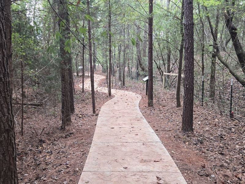
2. A Loyalist Base Marker on the right along the paved walkway
Topics. This historical marker is listed in these topic lists: Forts and Castles • War, US Revolutionary. A significant historical date for this entry is July 26, 1780.
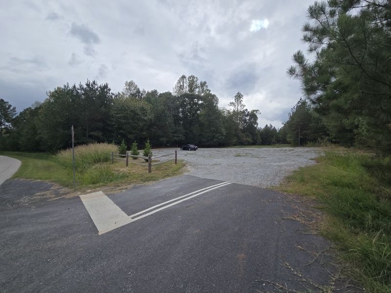
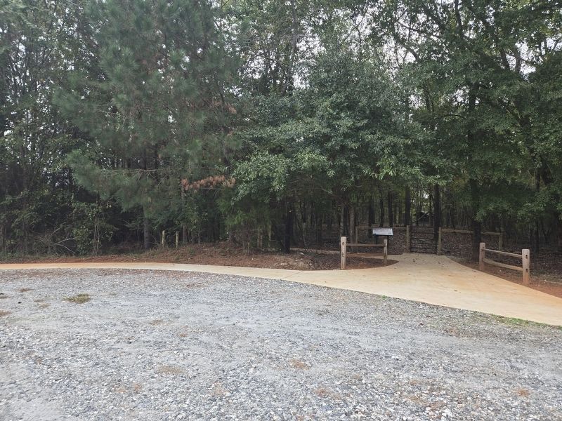
Location. 34° 59.104′ N, 81° 42.761′ W. Marker is near Gaffney, South Carolina, in Cherokee County. It can be reached from State Road S-11-584 0.2 miles south of Goucher School Road, on the right when traveling south. Look for a gravel parking lot on your right. From there, take the paved walk down the trail to the fort remnants. Touch for map. Marker is at or near this postal address: 184 State Rd S-11-584, Gaffney SC 29340, United States of America. Touch for directions.

Regionally, this marker is in Upstate and in the Foothills. It is also in the American South, specifically in the Deep South, in Appalachia, and specifically in Southern Appalachia. Globally, it is in North America, the Western Hemisphere, the Western World, and the Anglosphere. Historically, it finds itself in what was once the original Cherokee Nation, the
Photographed by Mark Parker, October 5, 2025
3. Gravel parking lot off State Road S-11-584. Follow the paved trail to the marker
Other nearby markers. At least 8 other markers are within 5 miles of this marker, measured as the crow flies: Welcome to Fort Thicketty (here, next to this marker); A Bloodless Victory (a few steps from this marker); Thicketty Fort Project (within shouting distance of this marker); Road to Kings Mountain and Cowpens (about 300 feet away, measured in a direct line); A Colonial Fortification (about 300 feet away); Goucher Baptist Church (approx. 0.9 miles away); Whig Hill (approx. 3.7 miles away); Nuckolls-Jefferies House (approx. 4.9 miles away). Touch for a list and map of all markers in Gaffney.
Photographed by Mark Parker, October 5, 2025
4. Start of the trail at the parking lot. Follow it to reach the marker

Photographed by Mark Parker, October 5, 2025
5. Fort Thicketty remains
Credits. This page was last revised on October 10, 2025. It was originally submitted on October 6, 2025, by Mark Parker of Hickory, North Carolina. This page has been viewed 90 times since then and 46 times this year. Photos: 1, 2, 3, 4, 5. submitted on October 6, 2025, by Mark Parker of Hickory, North Carolina. • Bernard Fisher was the editor who published this page.
