Phalba in Van Zandt County, Texas — The American South (West South Central)
Phalba
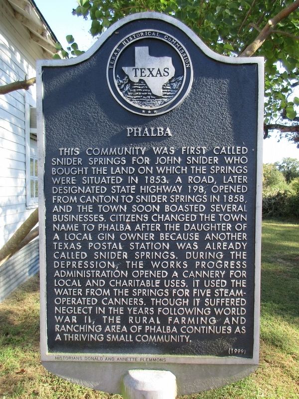
Photographed by Jeff Leichsenring, October 5, 2025
1. Phalba Marker
Erected 1999 by Texas Historical Commission. (Marker Number 12263.)
Topics. This historical marker is listed in these topic lists: Charity & Public Work • Settlements & Settlers. A significant historical year for this entry is 1853.
Location. 32° 25.275′ N, 95° 58.849′ W. Marker is in Phalba, Texas, in Van Zandt County. It is on State Highway 198 0.3 miles east of Farm to Market Road 316,
this page online

Regionally, this marker is in the American South and in the Piney Woods. Globally, it is in North America, a Gulf of Mexico state, the Western Hemisphere, the Western World, and the Anglosphere. Historically, it finds itself in what was once New Spain, the Republic of Texas, one of the Confederate States of America, and the Antebellum South.
Other nearby markers. At least 8 other markers are within 8 miles of this marker, measured as the crow flies: Mono School (approx. 3.2 miles away); Old Bethel Cemetery (approx. 3.3 miles away); Elm Grove Cemetery (approx. 3.6 miles away); Elm Grove Union Church (approx. 3.6 miles away); Goshen Cemetery (approx. 5.1 miles away); Moorehead-Melton Cemetery (approx. 6½ miles away); White Hall School (approx. 6.7 miles away); Four Mile Lutheran Church (approx. 7.1 miles away).
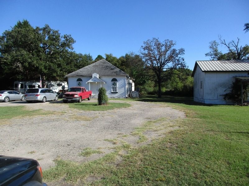
Photographed by Jeff Leichsenring, October 5, 2025
2. Phalba Marker
Credits. This page was last revised on October 7, 2025. It was originally submitted on October 6, 2025, by Jeff Leichsenring of Garland, Texas. This page has been viewed 89 times since then and 40 times this year. Photos: 1, 2. submitted on October 6, 2025, by Jeff Leichsenring of Garland, Texas. • James Hulse was the editor who published this page.
