Rancho Oakey in Las Vegas in Clark County, Nevada — The American Mountains (Southwest)
The Big Spring
Las Vegas
| — | “The Meadows” | — |
Photographed by Craig Baker, September 18, 2025
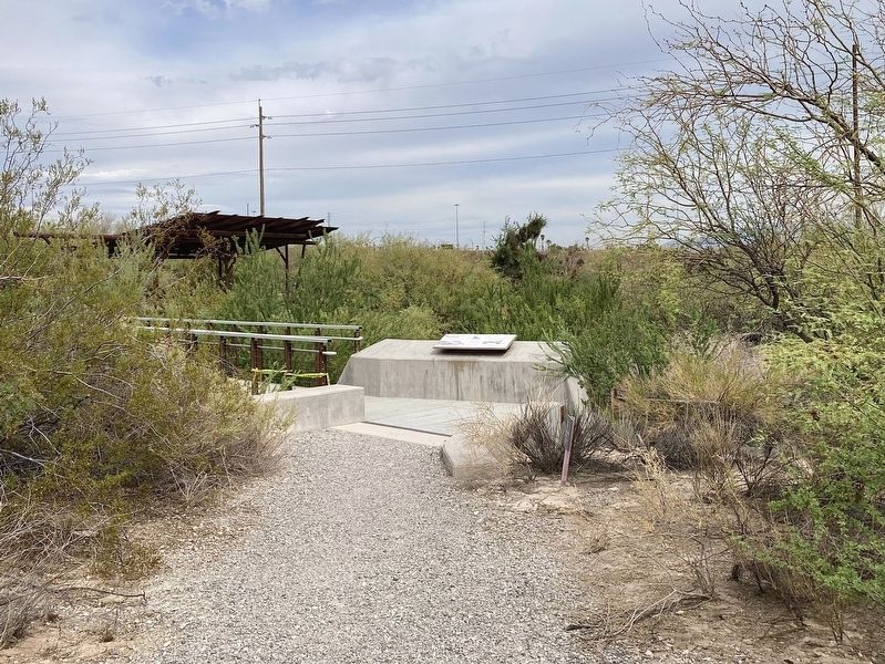
1. Big Spring Marker
The Biggest of the Big
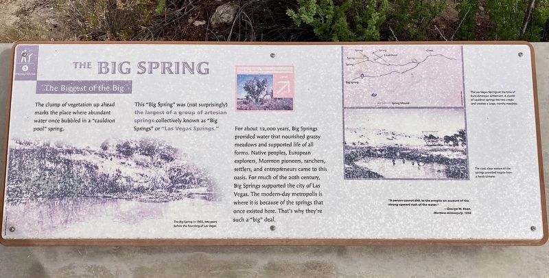
The clump of vegetation up ahead marks the place where abundant water once bubbled in a "cauldron pool" spring. This "Big Spring" was (not surprisingly) the largest of a group of artesian springs collectively known as "Big Springs" or "Las Vegas Springs."
For about 12,000 years, Big Springs provided water that nourished grassy meadows and supported life of all forms. Native peoples, European explorers, Mormon pioneers, ranchers, settlers, and entrepreneurs came to this oasis. For much of the 20th century, Big Springs supported the city of Las Vegas. The modern-day metropolis is where it is because of the springs that once existed here. That's why they're such a "big" deal.
Topics. This historical marker is listed in these topic lists: Natural Resources • Settlements & Settlers.
Location. 36° 10.384′ N, 115° 11.391′ W.
this page online

Regionally, this marker is in the Mojave Desert. It is also in the American Southwest and in the Mountain West. Globally, it is in North America, the Western Hemisphere, the Western World, and the Anglosphere. Historically, it finds itself in what was once New Spain and also Mexico’s Alta California.
Other nearby markers. At least 8 other markers are within walking distance of this marker: Intake No. 3 Project - 2015 (within shouting distance of this marker); Early Las Vegas (about 400 feet away, measured in a direct line); Las Vegas Boomtown (about 500 feet away); Railroad Cottages (about 500 feet
Photographed by Craig Baker, September 18, 2025
2. The Big Spring and Marker
More about this marker. There is an admission fee to enter the Springs Preserve, however individuals can ask at the Admissions Counter for a free "Garden & Trails" ticket.
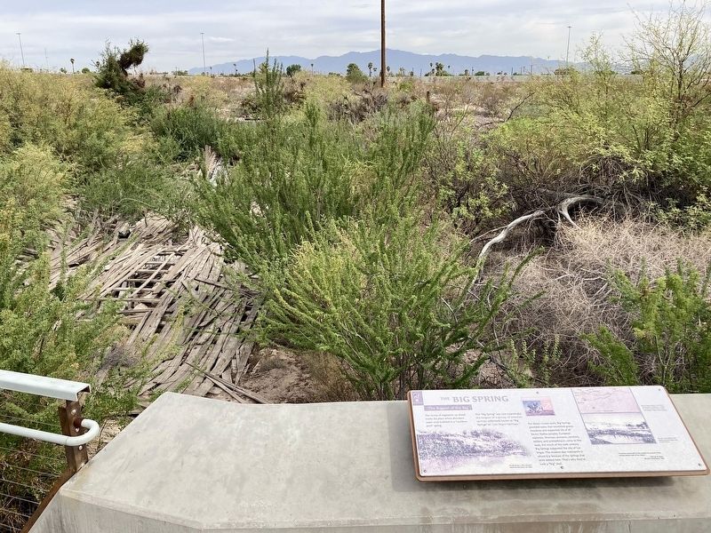
Regarding The Big Spring. As Las Vegas grew, contamination of its water supply was a constant concern. The springs were unprotected from debris and straying livestock, not to mention algae and frogs. Residents complained about the taste and smell.
In 1911, the Las Vegas Land and Water Company constructed a concrete basin and shed to shelter the water before it was piped to town. In 1917, Little and Middle Springs were brought into the system with springhouses of their own.
The springhouses eventually
Photographed by Craig Baker, September 18, 2025
3. Big Spring Marker
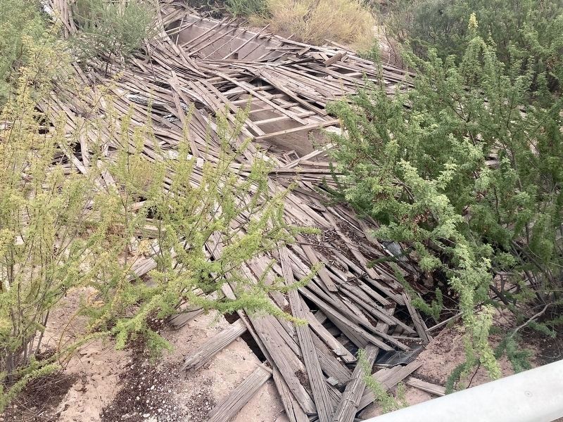
They were abandoned in the 1940s and fell into disrepair. This one has been slated for reconstruction, as a relic of early Las Vegas.
Photographed by Craig Baker, September 18, 2025
4. The Big Spring
Springhouse ruins, slated for reconstruction.
Photographed by Craig Baker, September 18, 2025
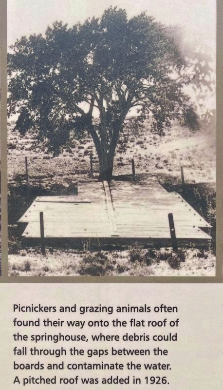
5. The Big Spring
Picnickers and grazing animals often found their way onto the flat roof of the springhouse, where debris could fall through the gaps between the boards and contaminate the water.
A pitched roof was added in 1926.
Photographed by Craig Baker, September 18, 2025
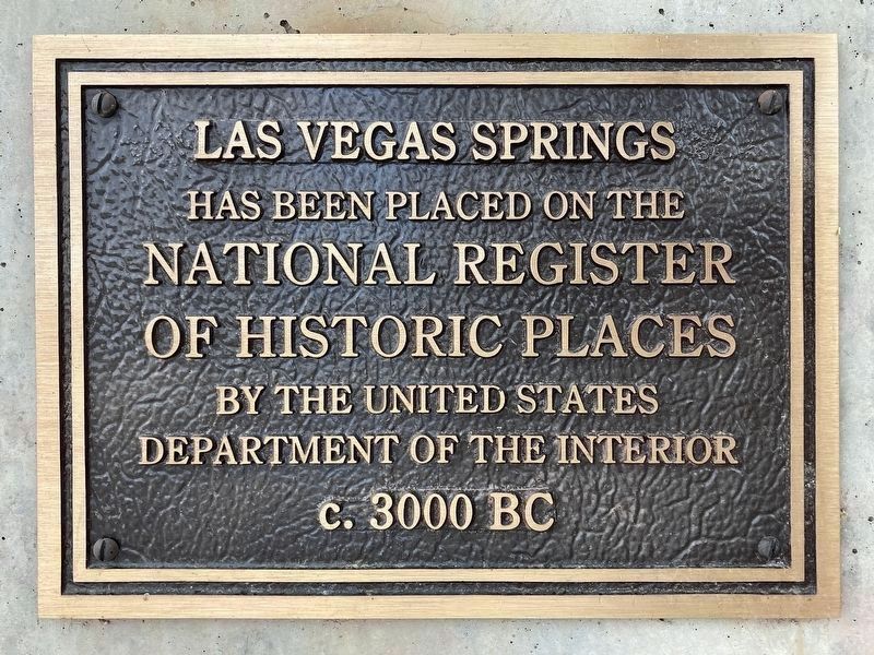
6. National Register of Historic Places
One of a few identical plaques in the preserve.
Credits. This page was last revised on October 10, 2025. It was originally submitted on October 9, 2025, by Craig Baker of Sylmar, California. This page has been viewed 109 times since then and 51 times this year. Photos: 1, 2, 3, 4, 5, 6. submitted on October 9, 2025, by Craig Baker of Sylmar, California.
