Rancho Oakey in Las Vegas in Clark County, Nevada — The American Mountains (Southwest)
Intake No. 3 Project - 2015
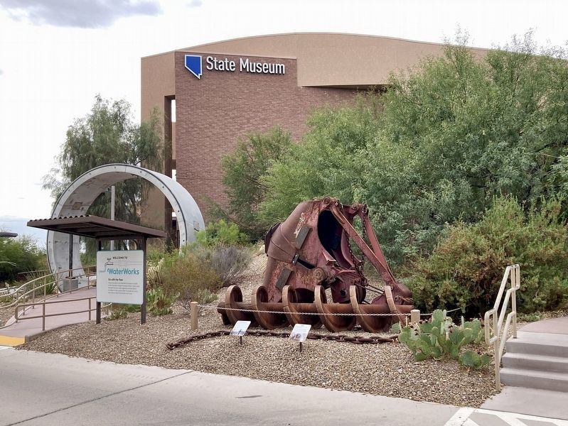
Auger & Clamshell Bucket
| — | Lake Mead | — |
Photographed by Craig Baker, September 18, 2025
1. Intake No. 3 Project Marker
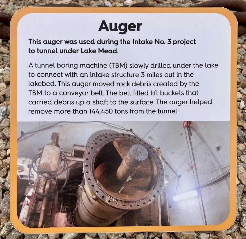
Auger
This auger was used during the Intake No. 3 project to tunnel under Lake Mead. A tunnel boring machine (TBM) slowly drilled under the lake to connect with an intake structure 3 miles out in the lakebed. This auger moved rock debris created by the TBM to a conveyor belt. The belt filled lift buckets that carried debris up a shaft to the surface. The auger helped remove more than 144,450 tons from the tunnel.
Clamshell Bucket
This clamshell bucket was used during the Intake No. 3 project to scoop rock out from the bottom of Lake Mead. A specially trained marine crew blasted a pit in the bedrock on the bottom of the lake big enough and wide enough to hold a new intake structure. After the blast, skilled operators on a barge at the water's surface used a crane to drop this bucket to the bottom of the lake. There it scooped up three cubic yards of rock and sand one bite at a time, preparing the lakebed for the intake structure.
Topics. This historical marker is listed in these topic lists: Industry & Commerce • Natural Resources.
Location. 36° 10.368′ N,
this page online

Regionally, this marker is in Nevada’s Mojave Desert. It is also in the American Southwest and in the Mountain West. Globally, it is in North America, the Western Hemisphere, the Western World, and the Anglosphere. Historically, it finds itself in what was once New Spain and also Mexico’s Alta California.
Other nearby markers. At least 8 other markers are within walking distance of this marker: The Big Spring (within shouting distance of this marker); Early Las Vegas (about 300 feet away, measured in a direct line); Railroad Cottages (about 400 feet away); Las Vegas Boomtown (about 400 feet away); Tap Into History (about 700 feet away); Las Vegas (The Meadows) (approx. 0.2 miles away); Las Vegas Springs (approx. 0.2 miles away); a different marker also

Photographed by Craig Baker, September 18, 2025
2. Intake No. 3 Project Marker
More about this marker. There is an admission fee to enter the Springs Preserve, however individuals can ask at the Admissions Counter for a free "Garden & Trails" ticket.
Regarding Intake No. 3 Project - 2015. This was a critical water infrastructure project to secure Southern Nevada's water
supply as Lake Mead's levels declined during drought. Completed in 2015, the project involved drilling a 3-mile-long tunnel under Lake Mead and constructing a deep-water intake structure to draw water from the lake, even at extremely low water levels.
Also see . . . Springs Preserve. (Submitted on October 12, 2025.)

Photographed by Craig Baker, September 18, 2025
3. Intake No. 3 Project Markers
Photographed by Craig Baker, September 18, 2025
4. Intake No. 3 Project Markers
Photographed by Craig Baker, September 18, 2025
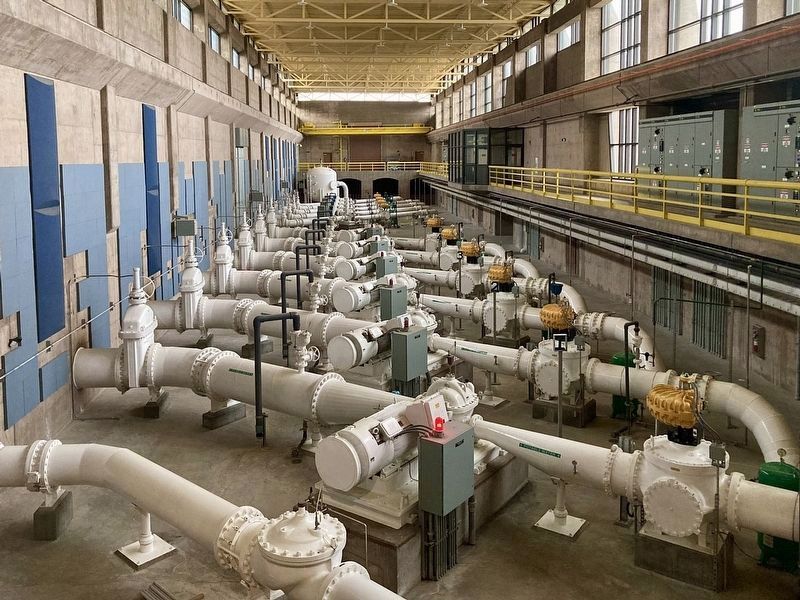
5. Water Pumping Facility
Located nearby, with an observation room and visitor center open to the public.
Credits. This page was last revised on October 13, 2025. It was originally submitted on October 12, 2025, by Craig Baker of Sylmar, California. This page has been viewed 67 times since then and 34 times this year. Photos: 1, 2, 3, 4, 5. submitted on October 12, 2025, by Craig Baker of Sylmar, California.
