Near Kure Beach in New Hanover County, North Carolina — The American South (South Atlantic)
Fort Fisher
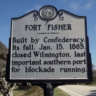
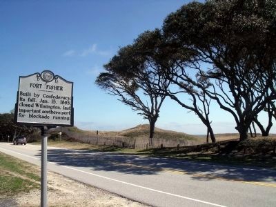
Built by Confederacy. Its fall, Jan. 15, 1865, closed Wilmington, last important southern port for blockade running.
Erected 1992 by Division of Archives and History. (Marker Number D-12.)
Topics. This historical marker is listed in these topic lists: Forts and Castles • War, US Civil. A significant historical month for this entry is January 1820.
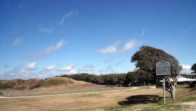
Location. 33° 58.232′ N, 77° 55.099′ W. Marker is near Kure Beach, North Carolina, in New Hanover County. Marker is at the intersection of Fort Fisher Boulevard South (U.S. 421) and Battle Acre Road, on the right when traveling south on Fort Fisher Boulevard South. Touch for map. Marker is in this post office area: Kure Beach NC 28449, United States of America. Touch for directions.
Other nearby markers. At least 8 other markers are within walking distance of this marker. Fort Fisher Since 1865 (within shouting distance of this marker); W.H.C. Whiting (within shouting distance of this marker); a different marker also named Fort Fisher (within shouting distance of this marker); A Trophy of War (about 300 feet away, measured in a direct line); Fort Fisher’s Armstrong Cannon (about 300 feet away); Blockade-Running (about 300 feet away); Capture! (about 300 feet away); History Trail (about 400 feet away). Touch for a list and map of all markers in Kure Beach.
Also see . . . Fort Fisher. North Carolina Historic Sites (Submitted on March 15, 2010, by Bernard Fisher of Richmond, Virginia.)
Credits. This page was last revised on March 17, 2024. It was originally submitted on March 15, 2010, by Bernard Fisher of Richmond, Virginia. This page has been viewed 954 times since then and 22 times this year. Photos: 1, 2, 3. submitted on March 15, 2010, by Bernard Fisher of Richmond, Virginia. 4. submitted on March 16, 2010, by Bernard Fisher of Richmond, Virginia.


