Vina in Franklin County, Alabama — The American South (East South Central)
Carl Atwood Elliott
1913-1999
Photographed by Jimmy Emerson, 2018
1. Carl Atwood Elliott Marker
Inscription.
The eldest of G.W. and Nora Elliott's eight children, Carl Elliott was
born in Vina, Alabama, and raised on a farm on Gober Ridge. The
1930 valedictorian of Vina High School, Elliott left home at the age of
sixteen to attend the University of Alabama. He worked his way
through college, and served as president of the Student Government
Association. In 1936, Elliott earned his law degree from the
university. In 1948, campaigning with the theme "From Farm Boy to
Congress," he won a landslide election to north Alabama's Seventh U.S.
Congressional District. For sixteen years he faithfully represented a
constituency of small farmers, coal miners, and businessmen.
A lifelong champion of universal access to education, Congressman
Elliott's Library Services and Construction Act of 1956 brought books
to rural counties. His National Defense Education Act of 1958 enabled
millions of needy students to attend college. In 1972, the University
of Alabama conferred upon him an honorary Doctor of Laws degree.
In 1990, Congressman Elliott received the inaugural John F. Kennedy
Profile in Courage Award. His autobiography, The Cost of Courage:
The Journey of an American Congressman,
Click or scan to see this page online
was published in 1992. For many
years, Elliott lived and practiced law in Jasper, Alabama,
buried in Jasper's Oak Hill Cemetery.
Erected 2018 by Alabama Historical Association.
Topics. This historical marker is listed in this topic list: Education. A significant historical year for this entry is 1930.
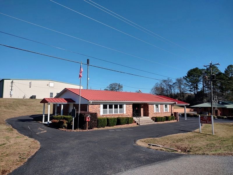
Location. 34° 22.604′ N, 88° 3.642′ W. Marker is in Vina, Alabama, in Franklin County. It is on State Highway 19 west of County Road 23, on the right when traveling west. Located at Vina Town Hall. Touch for map. Marker is at or near this postal address: 7111 Alabama Hwy 19, Vina AL 35593, United States of America. Touch for directions.
Regionally, this marker is in North Alabama. It is also in the American South, specifically in the Deep South, in Appalachia, and specifically in Southern Appalachia. Globally, it is in North America, a Gulf of Mexico state, the Western Hemisphere, the Western World, and the Anglosphere. Historically, it finds itself in what was once the territory of the Mississippian Culture, one of the Confederate States of America, and the Antebellum South.
Credits. This page was last revised on November 27, 2025. It was originally submitted on October 17, 2025, by Jimmy Emerson of Dalton, Georgia. This page has been viewed 82 times since then and 31 times this year. Photos:1. submitted on October 17, 2025, by Jimmy Emerson of Dalton, Georgia. 2. submitted on November 27, 2025, by Jimmy Emerson of Dalton, Georgia. • James Hulse was the editor who published this page.