Near Sandia in Live Oak County, Texas — The American South (West South Central)
Fort Ramirez
Photographed by Roberta Dobie, 2018
1. Fort Ramirez Marker
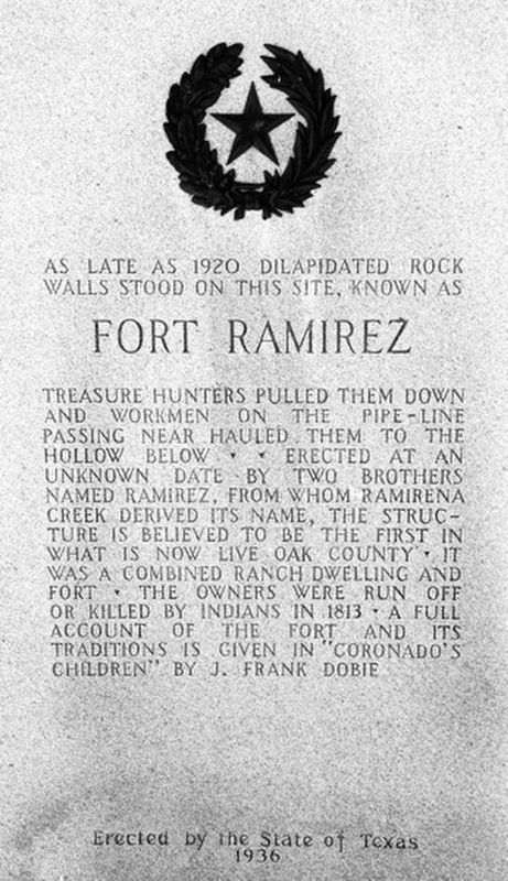
As late as 1920 dilapidated rock walls stood on this site, known as Fort Ramirez. Treasure hunters pulled them down and workmen hauled them to the hollow below. Erected by two brothers named Ramirez, from whom Ramirena Creek derived its name, the structure is believed to be the first in what is now Live Oak County. It was a combined ranch dwelling and fort. The owners were run off or killed by Indians in 1813. A full account of the fort and its traditions is given in “Coronado’s Children” by J. Frank Dobie.
Erected by the State of Texas
1936
Erected 1936 by The State of Texas. (Marker Number 14529.)
Topics and series. This historical marker is listed in these topic lists: Forts and Castles • Settlements & Settlers. In addition, it is included in the Texas 1936 Centennial Markers and Monuments series list. A significant historical year for this entry is 1920.
Location. Marker has been reported missing. It was located near 28° 7.538′ N, 98° 1.01′ W. Marker was near Sandia, Texas, in Live Oak County. It was on Farm to Market Road 3162, on the left when traveling east. Touch for map. Marker was in this post office area: Sandia TX 78383, United States of America. Touch for directions.

Regionally, this marker was in South Texas. It was also in the American South. Globally, it was in North America, a Gulf of Mexico state, the Western Hemisphere, the Western World, and the Anglosphere. Historically, it found itself in what was once New Spain, the Republic of Texas, and one of the Confederate States of America.
Other nearby markers. At least 8 other markers are within 13 miles of this location, measured as the crow flies: Lagarto College (approx. 3.7 miles away); Lagarto Cemetery (approx. 3.9 miles away); Town of Dinero (approx. 7.8 miles away); Thomas Henry Mathis Ranch (approx. 10.9 miles away);
this page online
More about this marker. This location was also the site of the Dobie Ranch House, birthplace of noted writer J. Frank Dobie. Previously a Texas Historical Commission marker (no. 6291) marked the site.
Credits. This page was last revised on October 18, 2025. It was originally submitted on April 26, 2020. This page has been viewed 711 times since then and 64 times this year. Last updated on October 18, 2025. Photo 1. submitted on April 26, 2020, by J. Makali Bruton of Washington, District of Columbia. • James Hulse was the editor who published this page.
Editor’s want-list for this marker. A recent photo of the full marker. • A wide view photo of the marker and the surrounding area together in context. • Can you help?
