Cloverport in Breckinridge County, Kentucky — The American South (East South Central)
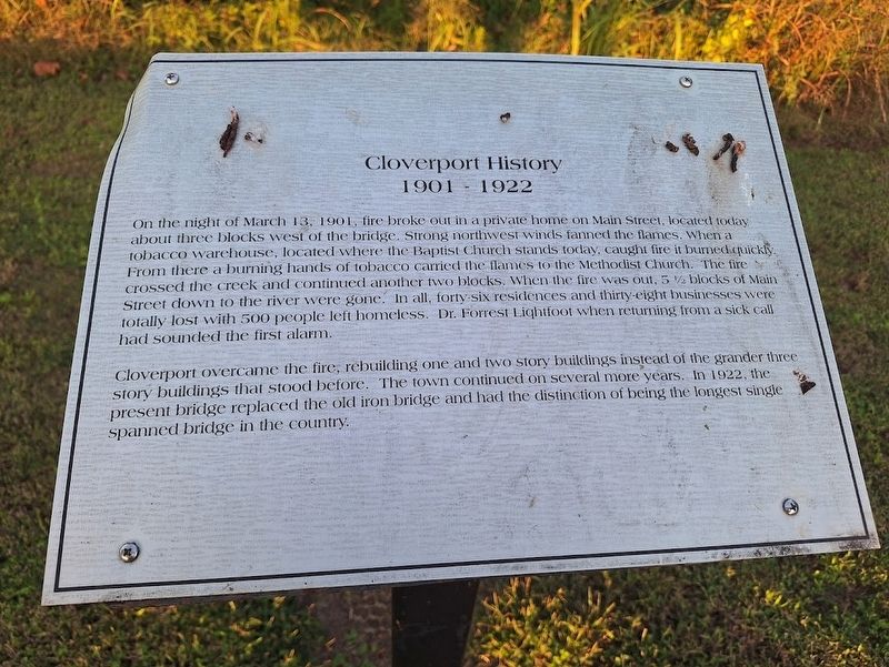
Cloverport History 1901-1922
Photographed by Jason Voigt, September 29, 2025
1. Cloverport History 1901-1922 Marker
On the night of March 13, 1901, fire broke out in a private home on Main Street, located today about three blocks west of the bridge. Strong northwest winds fanned the flames. When a tobacco warehouse, located where the Baptist Church stands today, caught fire it burned quickly. From there a burning hands of tobacco carried the flames to the Methodist Church. The fire crossed the creek and continued another two blocks. When the fire was out, 5 1/2 blocks of Main Street down to the river were gone. In all, forty-six residences and thirty-eight businesses were totally lost with 500 people left homeless. Dr. Forrest Lightfoot when returning from a sick call had sounded the first alarm.
Cloverport overcame the fire, rebuilding one and two story buildings instead of the grander three story buildings that stood before. The town continued on several more years. In 1922, the present bridge replaced the old iron bridge and had the distinction of being the longest single spanned bridge in the country.
Topics. This historical marker is listed in this topic list: Disasters. A significant historical date for this entry is March 13, 1901.
Location. 37° 50.265′ N,
this page online

Regionally, this marker is in the Western Coal Field. It is also in the American South, specifically in the Upper South, and in the Ohio River Valley. Globally, it is in North America, the Western Hemisphere, the Western World, and the Anglosphere. Historically, it finds itself in what was once the territory of the Mississippian Culture and also the Antebellum South.
Other nearby markers. At least 8 other markers are within walking distance of this marker: Cloverport History - Late 1900's to Present (a few steps from this marker); Cloverport History 1873-1929 (within shouting distance of this marker); Cloverport History 1830-1860 (about 300 feet away, measured in a direct line); Cloverport History 1816-1828 (about 400 feet away); Cloverport History 1803-1813 (about 400 feet away); Cloverport History 1729-1802
Photographed by Jason Voigt, September 29, 2025
2. Cloverport History 1901-1922 Marker
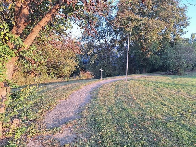
Marker is on a walking path at a riverside park.
Also see . . . Cloverport, Kentucky on Wikipedia. (Submitted on October 18, 2025, by Jason Voigt of Glen Carbon, Illinois.)
Credits. This page was last revised on October 18, 2025. It was originally submitted on October 18, 2025, by Jason Voigt of Glen Carbon, Illinois. This page has been viewed 81 times since then and 32 times this year. Photos: 1, 2. submitted on October 18, 2025, by Jason Voigt of Glen Carbon, Illinois.
