Fergus in Wellington County, Ontario — Central Canada (North America)
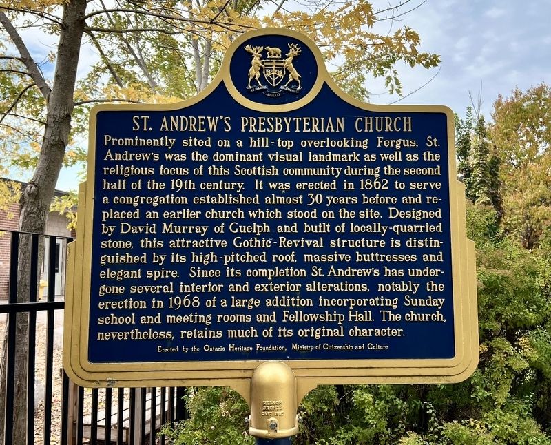
St. Andrew’s Presbyterian Church
Photographed by Tim Boyd, October 18, 2025
1. St. Andrew’s Presbyterian Church Marker
Erected by Ontario Heritage Foundation.
Topics and series. This historical marker is listed in these topic lists: Architecture • Religion & Religious Structures. In addition, it is included in the Canada, Ontario Heritage Trust series list. A significant historical year for this entry is 1862.
Location. 43° 42.264′ N, 80° 22.918′ W.
this page online

Regionally, this marker is in the Huron-Perth-Waterloo-Wellington Area and in Southwestern Ontario. It is also in Central Canada. Globally, it is in North America, the Western Hemisphere, the Western World, and the Anglosphere. Historically, it finds itself in what was once a British colony, the Viceroyalty of New France, the Haudenosaunee (Iroquois) Confederacy, and Rupert’s Land.
Other nearby markers. At least 8 other markers are within walking distance of this marker: The Kissing Stane (within shouting distance of this marker); Weigh Scale Building (about 240 meters away, measured in a direct line); The Fergus Curling Club / Club de Curling de Fergus (about 240 meters away); 212 St. Andrew Street W (approx. 0.3 kilometers away); Templin Gardens (approx. 0.3 kilometers away); The Founders of Fergus
Photographed by Tim Boyd, October 18, 2025
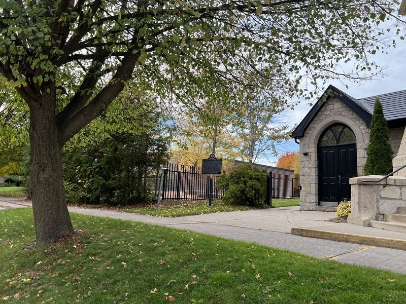
2. St. Andrew’s Presbyterian Church Marker
Also see . . . A look at the history of St. Andrew's church in Fergus (Elora-Fergus Today).
There is a lot of Fergus history in St. Andrew’s Presbyterian Church. At one time it was not just the only church in Fergus, but also the only church between Guelph and Georgian Bay. Adam Fergusson, one of the town’s founders, laid the cornerstone on Nov. 30, 1834, on a high point of land known as the Glebe – part of the Clergy Reserves, which was augmented by a grant of 171 acres from the colonial government of Canada. The original church, a frame building with a tin spire, was built by Charles Allan; a trustee, elder, county warden and member of parliament. The church opened its doors on Aug. 23, 1835.(Submitted on October 20, 2025, by Tim Boyd of Hamilton, Ontario.)
Photographed by Tim Boyd, October 18, 2025
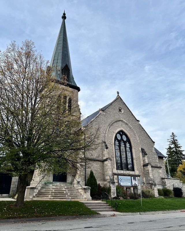
3. St. Andrew’s Presbyterian Church, 2025
Credits. This page was last revised on October 20, 2025. It was originally submitted on October 20, 2025, by Tim Boyd of Hamilton, Ontario. This page has been viewed 85 times since then and 55 times this year. Photos: 1, 2, 3. submitted on October 20, 2025, by Tim Boyd of Hamilton, Ontario. • Andrew Ruppenstein was the editor who published this page.
