Fergus in Centre Wellington in Wellington County, Ontario — Central Canada (North America)
St. David Street Bridge
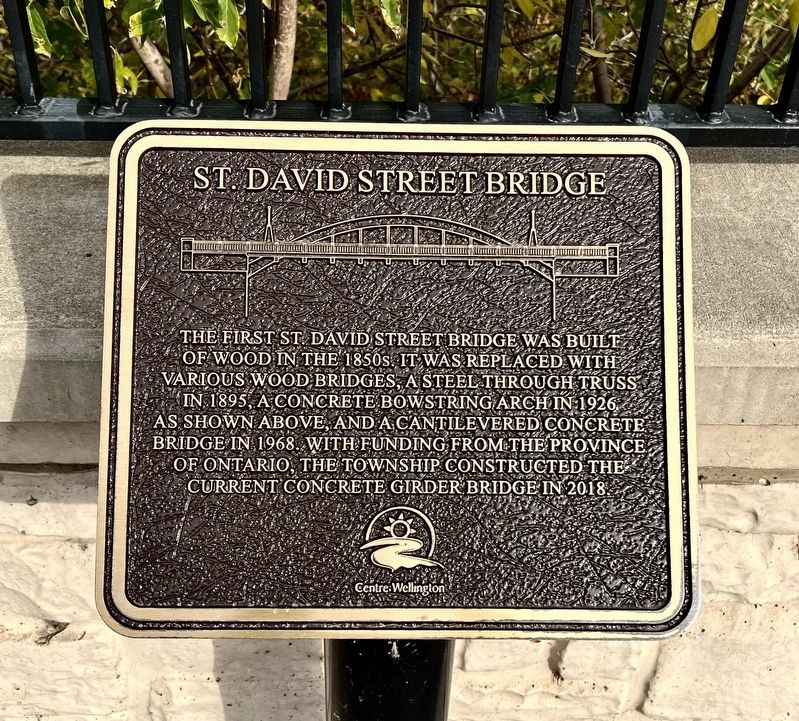
Photographed by Tim Boyd, October 18, 2025
1. St. David Street Bridge Marker
Erected by Centre Wellington.
Topics. This historical marker is listed in this topic list: Bridges & Viaducts. A significant historical year for this entry is 1895.
Location. 43° 42.337′ N, 80° 22.624′ W. Marker is in Centre Wellington, Ontario, in Wellington County. It is in Fergus. It is on Saint David Street South 0.1 kilometers south of St. Andrew’s Street East, on the left when traveling south. Touch for map. Marker is at or near this postal address: 160 St David Street S, Centre Wellington ON N1M 2L4, Canada. Touch for directions.

Regionally, this marker is in the Huron-Perth-Waterloo-Wellington Area and in Southwestern Ontario. It is also in Central Canada. Globally, it is in North America, the Western Hemisphere, the Western World, and the Anglosphere.
this page online
Other nearby markers. At least 8 other markers are within walking distance of this marker: Fergus Swimming Pool (within shouting distance of this marker); The Founders of Fergus (about 90 meters away, measured in a direct line); Templin Gardens (about 180 meters away); 212 St. Andrew Street W (about 180 meters away); Weigh Scale Building (about 180 meters away); The Fergus Curling Club / Club de Curling de Fergus (approx. 0.3 kilometers away); The Kissing Stane (approx. 0.4 kilometers away); St. Andrew’s Presbyterian Church (approx. 0.4 kilometers away). Touch for a list and map of all markers in Centre Wellington.
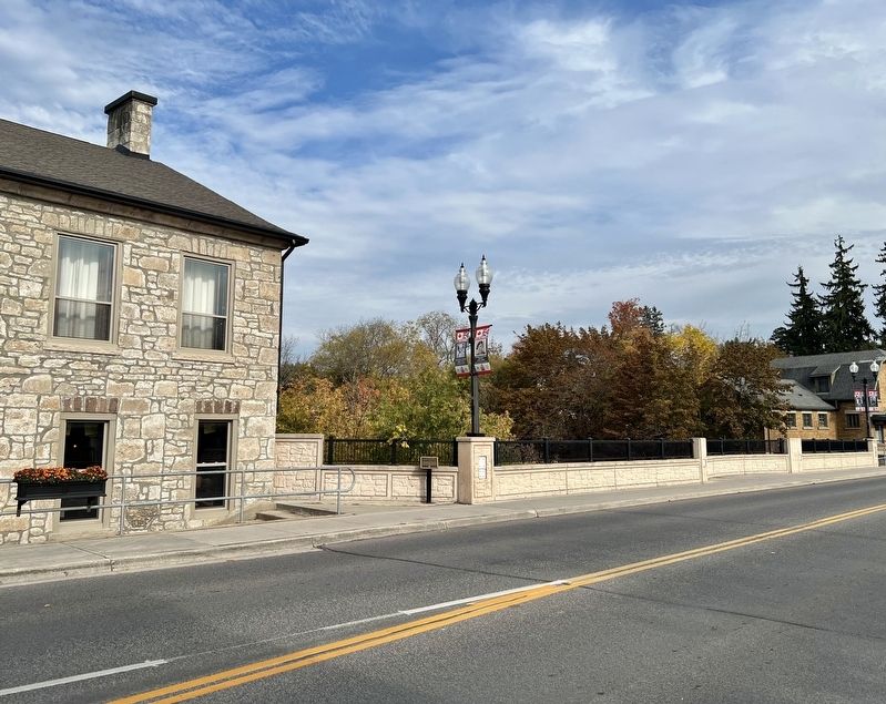
Photographed by Tim Boyd, October 18, 2025
2. St. David Street Bridge Marker
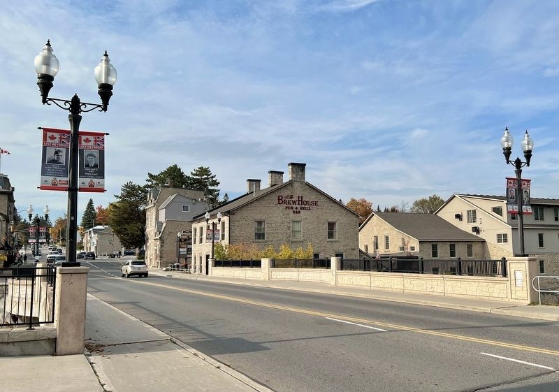
Photographed by Tim Boyd, October 18, 2025
3. St. David Street Bridge, 2025
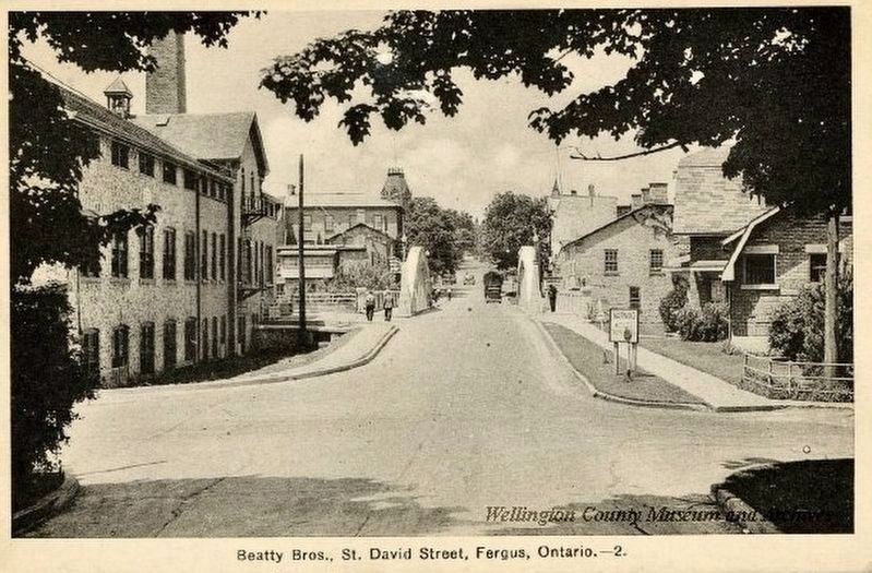
4. St. David Street, looking toward the bridge, ca 1930
Wellington County Museum and Archives (public domain)
Credits. This page was last revised on October 20, 2025. It was originally submitted on October 20, 2025, by Tim Boyd of Hamilton, Ontario. This page has been viewed 54 times since then and 24 times this year. Photos: 1, 2, 3, 4. submitted on October 20, 2025, by Tim Boyd of Hamilton, Ontario. • Andrew Ruppenstein was the editor who published this page.
