Beaver in Beaver County, Utah — The American Mountains (Southwest)
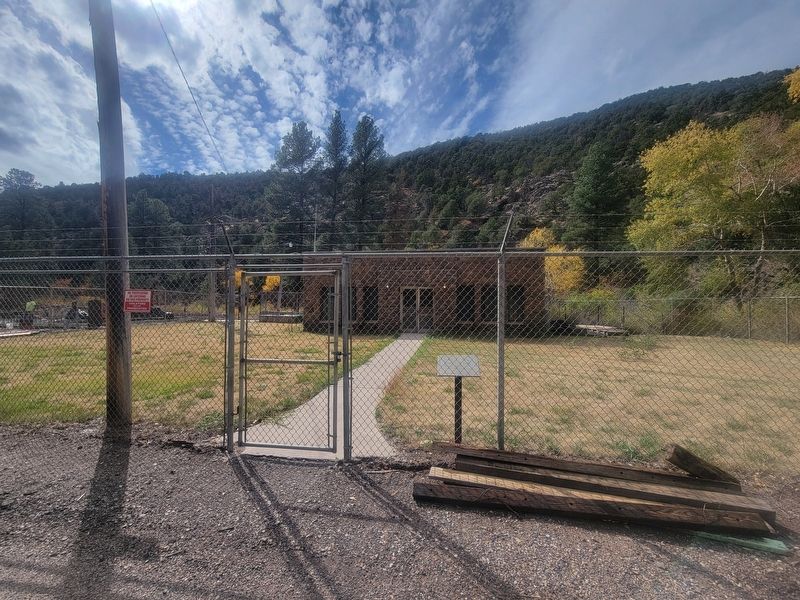
Beaver City Hydro
WPA Project Located In Beaver Canyon
Photographed by Jeremy Snow, October 13, 2025
1. Beaver City Hydro Marker
1st City Council:
J. Frank Smith - Mayor
Council Members:
Laban Burt • Arch Hoopes • Philo Boyter • Levi Howd
Burnett Swindlehurst • Sadie Patterson - City Recorder
2nd City Council:
Homer D. Thompson - Mayor
Council Members:
Laban Burt • Walter Joseph • Philo Boyter • William White
Carlos Murdock • Ruth Nielson - City Recorder
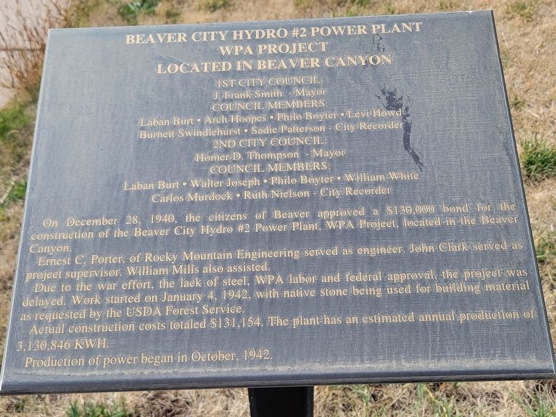
On December 28, 1940, the citizens of Beaver approved a $130,000 bond for the construction of the Beaver City Hydro #2 Power Plant, WPA Project, located in the Beaver Canyon.
Ernest C, Porter, of Rocky Mountain Engineering served as engineer. John Clark served as project supervisor. William Mills also-assisted.
Due to the war effort, the lack of steel, WPA labor and federal approval, the project was delayed. Work started on January 4, 1942, with native stone being used for building material as requested by the USDA Forest Service.
Actual construction costs totaled $131,154. The plant has an estimated annual production of 3,130,846 KWH.
Production of power began in October, 1942.
Topics and series. This historical marker is listed in this topic list: Industry & Commerce.
this page online
Location. 38° 15.807′ N, 112° 32.867′ W. Marker is in Beaver, Utah, in Beaver County. It is on Hwy 153 (Utah Route 153), on the right when traveling east. Touch for map. Marker is in this post office area: Beaver UT 84713, United States of America. Touch for directions.

Regionally, this marker is in Color Country and in the West Desert. It is also in the American Mountain West and on the Colorado Plateau. Globally, it is in North America, the Western Hemisphere, the Western World, and the Anglosphere. Historically, it finds itself in what was once New Spain and also Mexico’s Alta California.
Other nearby markers. At least 8 other markers are within 5 miles of this marker, measured as the crow flies: Fort Cameron - Murdock Academy (approx. 3.2 miles away); Pioneer Park (approx. 4.8 miles away); The Beaver Woolen Mills (approx. 4.8 miles away); Beaver Relief Society Hall (approx. 5 miles away); Beaver Territorial Courthouse (approx. 5 miles away); Beaver County Courthouse Preservation
Photographed by Jeremy Snow, October 13, 2025
2. Beaver City Hydro Marker
Credits. This page was last revised on October 22, 2025. It was originally submitted on October 20, 2025, by Jeremy Snow of Cedar City, Utah. This page has been viewed 51 times since then and 27 times this year. Photos: 1, 2. submitted on October 20, 2025, by Jeremy Snow of Cedar City, Utah. • Andrew Ruppenstein was the editor who published this page.
