
Centre Wellington in Wellington County, Ontario — Central Canada (North America)
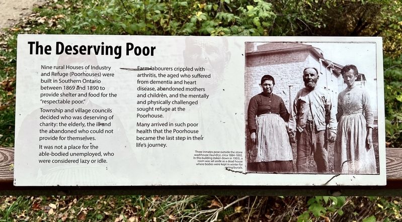
The Deserving Poor
Photographed by Tim Boyd, October 18, 2025
1. The Deserving Poor Marker
Township and village councils decided who was deserving of charity: the elderly, the ill and the abandoned who could not provide for themselves. It was not a place for the able-bodied unemployed, who were considered lazy or idle.
Farm labourers crippled with arthritis, the aged who suffered from dementia and heart disease, abandoned mothers and children, and the mentally and physically challenged sought refuge at the Poorhouse.
Many arrived in such poor health that the Poorhouse became the last step in their life's journey.
Topics. This historical marker is listed in this topic list: Charity & Public Work. A significant historical year for this entry is 1869.
Location. 43° 41.494′ N, 80° 23.737′ W. Marker is in Centre Wellington, Ontario, in Wellington County. It can be reached from Wellington Road 18. The marker is at the top of the steps leading to the grounds of the House and Industry and Refuge cemetery, accessible by foot from County Road 18 near the
this page online

Regionally, this marker is in the Huron-Perth-Waterloo-Wellington Area and in Southwestern Ontario. It is also in Central Canada. Globally, it is in North America, the Western Hemisphere, the Western World, and the Anglosphere. Historically, it finds itself in what was once a British colony, the Viceroyalty of New France, the Haudenosaunee (Iroquois) Confederacy, and Rupert’s Land.
Other nearby markers. At least 8 other markers are within walking distance of this marker: The Unclaimed (here, next to this marker); The Poorhouse Cemetery (here, next to this marker); "A house of incurables and physical wrecks" (here, next to this marker); Families: the Cycle of Poverty (a few steps from this marker); The Funerals (a few steps from this marker); Causes of Death (a few steps from this marker); The Notorious Jane Lewis (a few steps from this marker); The Burials: Age and Gender
Photographed by Tim Boyd, October 18, 2025
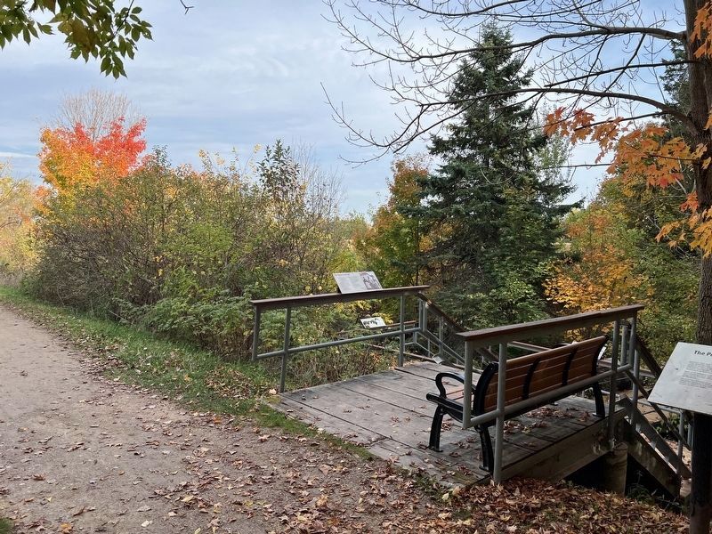
2. The Deserving Poor Marker
Centre of photo, nearest to camera
Photographed by Tim Boyd, October 18, 2025
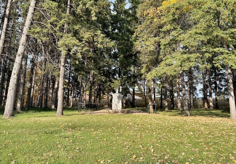
3. Entrance to the House of Industry and Refuge cemetery from County Road 18
Credits. This page was last revised on October 24, 2025. It was originally submitted on October 24, 2025, by Tim Boyd of Hamilton, Ontario. This page has been viewed 53 times since then and 20 times this year. Photos: 1, 2, 3. submitted on October 24, 2025, by Tim Boyd of Hamilton, Ontario. • Andrew Ruppenstein was the editor who published this page.
