Wichita Falls in Wichita County, Texas — The American South (West South Central)
Saint John Baptist Church
Photographed by James Hulse, October 26, 2025
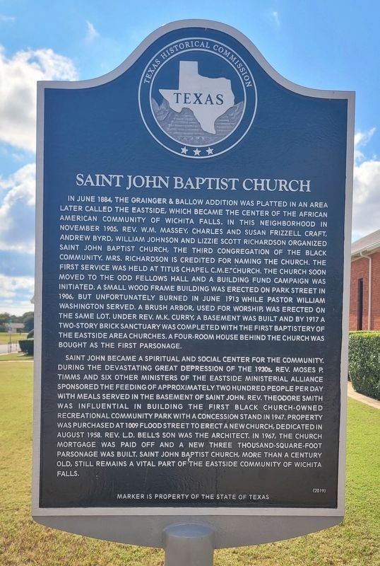
1. Saint John Baptist Church Marker
Saint John became a spiritual and social center for the community. During the devastating Great Depression of the 1930s, Rev. Moses P. Timms and six other ministers of the Eastside Ministerial Alliance sponsored the feeding of approximately two hundred people per day with meals served in the basement of Saint John. Rev. Theodore Smith was influential in building the first black church-owned recreational community park with a concession stand in 1947. Property was purchased at 1009 Flood Street to erect a new church, dedicated in August 1958. Rev. L.D. Bell's son was the architect. In 1967, the church mortgage was paid off and a new three thousand-square-foot parsonage was built. Saint John Baptist Church, more than a century old, still remains a vital part of the Eastside community of Wichita
this page online
Erected 2019 by Texas Historical Commission. (Marker Number 22513.)
Topics. This historical marker is listed in these topic lists: African Americans • Religion & Religious Structures. A significant historical month for this entry is June 1884.
Location. 33° 54.906′ N, 98° 28.384′ W. Marker is in Wichita Falls, Texas, in Wichita County. It is at the intersection of Flood Street and Holland Avenue, on the left when traveling west on Flood Street. The marker is located at the front of the church. Touch for map. Marker is at or near this postal address: 1009 Flood Street, Wichita Falls TX 76301, United States of America. Touch for directions.

Regionally, this marker is in Big Country. Globally, it is in North America, a Gulf of Mexico state, the Western Hemisphere, the Western World, and the Anglosphere. Historically, it finds itself in what was once New Spain, the Comanchería, the Republic of Texas, and one of the Confederate States of America.
Other nearby markers. At least 8 other markers are within walking distance of this marker: Mt. Pleasant Missionary Baptist Church (approx. 0.2 miles away); Site of Booker T. Washington High School
Photographed by James Hulse, October 26, 2025
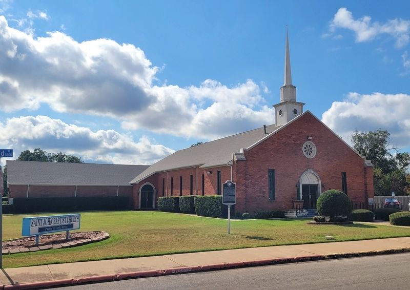
2. Saint John Baptist Church and Marker
Credits. This page was last revised on October 26, 2025. It was originally submitted on October 26, 2025, by James Hulse of Medina, Texas. This page has been viewed 73 times since then and 42 times this year. Photos: 1, 2. submitted on October 26, 2025, by James Hulse of Medina, Texas.
