Wichita Falls in Wichita County, Texas — The American South (West South Central)
Church of the Good Shepherd
Photographed by James Hulse, October 26, 2025
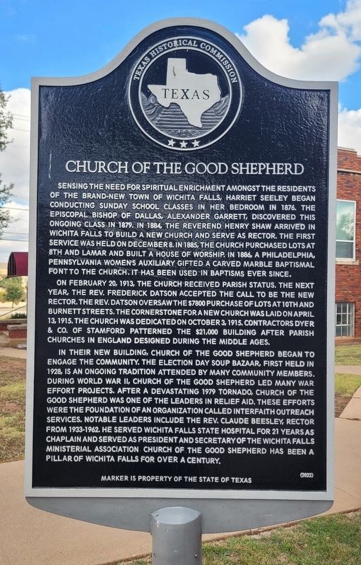
1. Church of the Good Shepherd Marker
On February 20, 1913, the church received parish status. The next year, the Rev. Frederick Datson accepted the call to be the new rector. The Rev. Datson oversaw the $7800 purchase of lots at 10th and Burnett Streets. The cornerstone for a new church was laid on April 13, 1915. The church was dedicated on October 3, 1915. Contractors Dyer & Co. of Stamford patterned the $21,000 building after parish churches in England designed during the Middle Ages.
In their new building, Church of the Good Shepherd began to engage the community. The election day soup bazaar, first held in 1928, is an ongoing tradition attended by many community members. During World War II, Church of the Good Shepherd led many war effort projects. After a devastating 1979 tornado, Church of the Good Shepherd was one of the leaders in relief aid. These efforts were the foundation of an organization called Interfaith Outreach Services. Notable leaders include the Rev. Claude Beesley, rector from 1933-1962. He served Wichita Falls State Hospital for 21 years as chaplain and served as president and secretary of the Wichita Falls Ministerial Association Church of the Good Shepherd has been a pillar of
this page online
Erected 2022 by Texas Historical Commission. (Marker Number 23625.)
Topics. This historical marker is listed in this topic list: Religion & Religious Structures. A significant historical date for this entry is February 20, 1913.
Location. 33° 54.45′ N, 98° 29.674′ W. Marker is in Wichita Falls, Texas, in Wichita County. It is at the intersection of Burnett Street and 10th Street on Burnett Street. The marker is located at the west corner of the church. Touch for map. Marker is at or near this postal address: 1007 Burnett Street, Wichita Falls TX 76301, United States of America. Touch for directions.

Regionally, this marker is in Big Country. Globally, it is in North America, a Gulf of Mexico state, the Western Hemisphere, the Western World, and the Anglosphere. Historically, it finds itself in what was once New Spain, the Comanchería, the Republic of Texas, and one of the Confederate States of America.
Other nearby markers. At least 8 other markers are within walking distance of this marker: The Anderson House (within shouting distance of this marker); First Baptist Church of Wichita Falls (about
Photographed by James Hulse, October 26, 2025
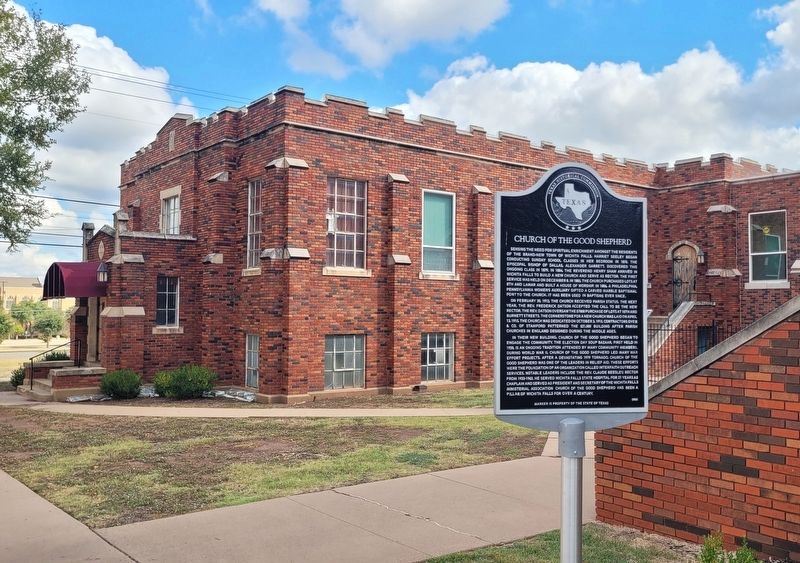
2. Church of the Good Shepherd Marker
Photographed by James Hulse, October 26, 2025
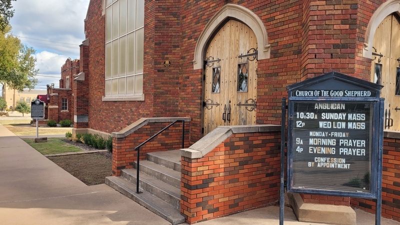
3. Church of the Good Shepherd Marker
Photographed by James Hulse, October 26, 2025
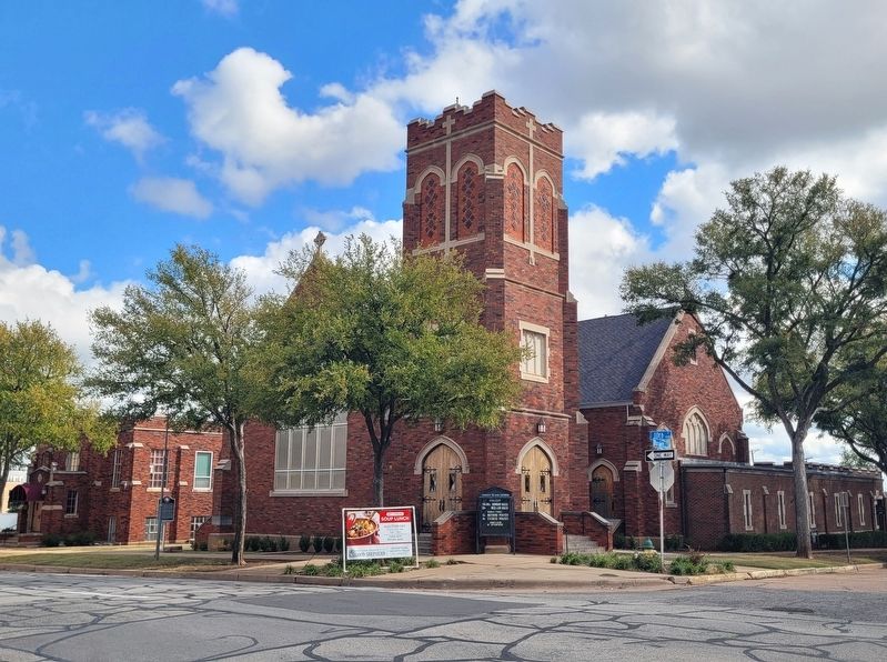
4. The view of the Church of the Good Shepherd and Marker from across the street
Credits. This page was last revised on October 27, 2025. It was originally submitted on October 27, 2025, by James Hulse of Medina, Texas. This page has been viewed 79 times since then and 54 times this year. Photos: 1, 2, 3, 4. submitted on October 27, 2025, by James Hulse of Medina, Texas.
