
Black Hawk in Gilpin County, Colorado — The American Mountains (Southwest)
Black Hawk History - Public School

Photographed by Leslie Eudy
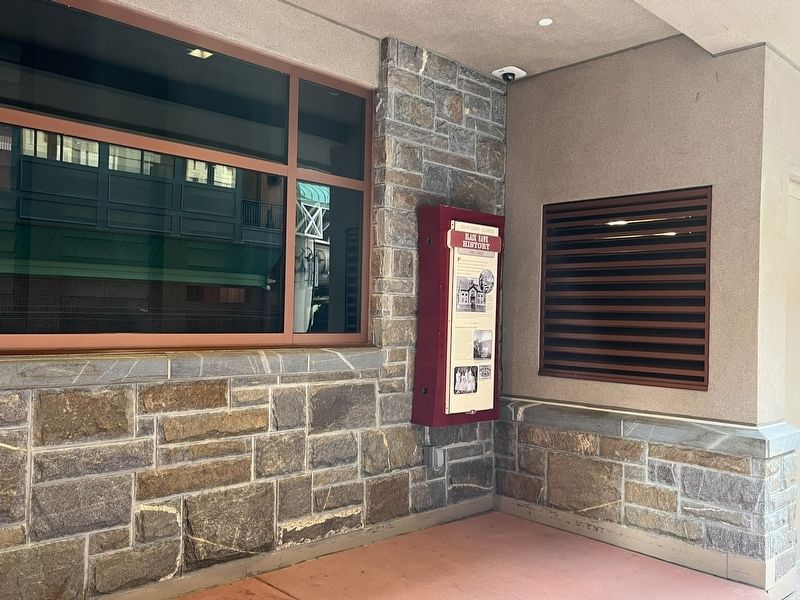
1. Black Hawk History - Public School Marker
Gilpin County, Colorado
Black Hawk History
Public School
Prominently situated on the hillside overlooking the commercial downtown, the classically-detailed wood frame and clapboard schoolhouse proclaimed education to be highly valued in the gold rush town of Black Hawk.
Black Hawk’s school system predated the formal incorporation of the town, having made use of a leased site from 1862-1870. The cost of the school house and land was nearly $15,000. Closed as a school in 1960, the school house became the home of the police department in the mid 1990s.
Schoolhouse of the West
“The public school at Black Hawk is a credit to the town. It is 40 feet x 60 feet high on the ground and two stories high. In it are four school rooms and a recitation room…The stairs leading from the street are a little abrupt but are the best that could be put in. The stairs within are broad and easy of ascent. The house is a credit to Black Hawk, and would be to any town in Colorado or the west. It will accommodate from two hundred to two hundred and fifty without inconvenience… The color of the outside is good and, indeed, the entire
this page online
Topics. This historical marker is listed in these topic lists: Education • Settlements & Settlers.
Location. 39° 47.907′ N, 105° 29′ W. Marker is in Black Hawk, Colorado, in Gilpin County. It is on Main Street, on the right when traveling west. Marker is on the south end of Black Hawk on Main Street at the Monarch Casino Bus Stop. When heading north on Highway 119, take a left on Main Street. Marker is on the right. Touch for map. Marker is in this post office area: Black Hawk CO 80422, United States of America. Touch for directions.

Regionally, this marker is in the Colorado High Rockies. It is also in the American Mountain West. Globally, it is in North America, the Rocky Mountains, the Western Hemisphere, the Western World, and the Anglosphere.
Other nearby markers. At
Photographed by Leslie Eudy, October 23, 2025
2. Black Hawk History - Public School Marker wide view

Photographed by Leslie Eudy, October 23, 2025
3. Upper Photos on Marker
Top: An 1872 birdseye view of Black Hawk showing Gregory Street curving upward to the schoolhouse and church. Both original structures still preside over Black Hawk today.
Bottom: Black Hawk public schoolhouse soon after its construction in 1870. The bell canopy on the roof ridge is said to have housed the first school bell west of the Mississippi.

Photographed by Leslie Eudy, October 23, 2025
4. Lower Photos on Marker
The graduating class of the Black Hawk School, 1902 (left); Black Hawk Public School Diploma (right)
Credits. This page was last revised on November 1, 2025. It was originally submitted on October 29, 2025, by Leslie Eudy of Golden, Colorado. This page has been viewed 41 times since then and 15 times this year. Photos: 1, 2, 3, 4. submitted on October 29, 2025, by Leslie Eudy of Golden, Colorado. • Andrew Ruppenstein was the editor who published this page.
