
Omaha in Douglas County, Nebraska — The American Midwest (Upper Plains)
Fatigue and Danger

Photographed by Barry Swackhamer, July 16, 2025
1. Fatigue and Danger Marker
Captions: (left) When the wind was right, sails pushed the keelboat against the current for up to 20 miles in a day. And on stretches of river without sandbars and submerged trees, oarsmen could move the keelboat at a steady pace. But when the river was shallow, members of the Expedition used ropes and their own strength to tow a 13-ton boat and 12 tons of cargo upriver;; (right) Using bear fat for mosquito repellent and choosing campsites where there was a breeze offered some relief from swarms of mosquitos. One Expedition member reported eating a mouthful of mosquitoes for every mouthful of food.
Stifling summer heat, swarming mosquitoes and days spent waist deep in the muddy river challenged the men's moral, health and strength. The men suffered sore feet, sunstroke, insect and snake bites, skin infection, stomach aches, and according to Clark, "violent headache." Oil cloth helped keep their gear dry, but crew members' diaries told of many days spent waiting for their soggy belongings to dry out before the Expedition could move forward. Clark wrote about "doctoring" crew members' aches and pains.
One crew member, Sgt. Charles Floyd, became ill during the weeks of crew traveling in this area. Sgt. Floyd died, probably from appendicitis, and was buried near present-day Sioux City, Iowa. But, as Clark wrote, "It is worthy of observation to mention that our Party has been much healthier
this page online
Erected by National Park Service, City of Omaha, Papio-Missouri River Natural Resources District.
Topics. This historical marker is listed in this topic list: Exploration.
Location. 41° 16.227′ N, 95° 55.225′ W. Marker is in Omaha, Nebraska, in Douglas County. It can be reached from Gallup Drive. This marker is located at Miller's Landing. Touch for map. Marker is in this post office area: Omaha NE 69110, United States of America. Touch for directions.

Regionally, this marker is in Eastern Nebraska. It is also in the American Midwest, in the Lewis & Clark Corridor, in the Corn Belt, and on the prairies. Globally, it is in North America, the Western Hemisphere, the Western World, and the Anglosphere. Historically, it finds itself in what was once the Louisiana Purchase.
Other nearby markers. At least 8 other markers are within walking distance of this marker: Wanted: Men To Labor (here, next to this marker); Hiring Local Experts (here, next to this marker); Time For Hunting Buffalo (within shouting
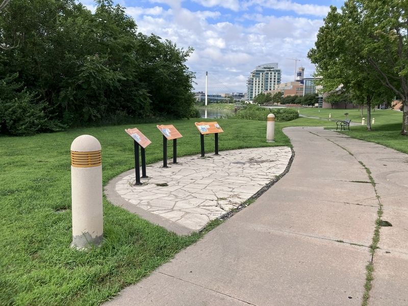
Photographed by Barry Swackhamer, July 16, 2025
2. Fatigue and Danger Marker
More about this marker. There is an audio component to this marker. Select a button and chose between "Expedition members learned how to keep moving upriver in spite of difficulties. Listen to what William Clark wrote about one difficult day." or "Diaries from the weeks spent traveling through this region contain dozens of complaints about mosquito swarms. Hear what Captain Clark and Sargents Ordway and Gass had to day."
Credits. This page was last revised on November 4, 2025. It was originally submitted on October 30, 2025, by Barry Swackhamer of Brentwood, California. This page has been viewed 54 times since then and 24 times this year. Photos: 1, 2. submitted on October 30, 2025, by Barry Swackhamer of Brentwood, California.
