Omaha in Douglas County, Nebraska — The American Midwest (Upper Plains)
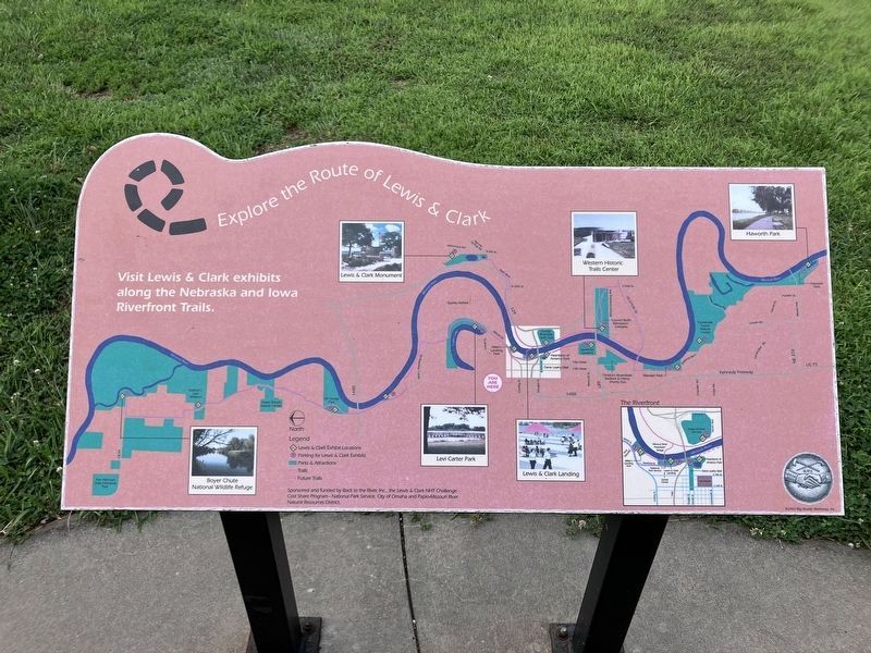
Explore the Route of Lewis & Clark
Photographed by Barry Swackhamer, July 16, 2025
1. Explore the Route of Lewis & Clark Marker
Click on the image to enlarge it.
Erected by Back to the River, National Park Service, City of Omaha, Papio-Missouri River Natural Resources District.
Topics. This historical marker is listed in this topic list: Exploration.
Location. 41° 16.301′ N, 95° 55.149′ W. Marker is in Omaha, Nebraska, in Douglas County. It can be reached from Freedom Park Road near Gallup Drive. This marker is at Miller's Landing Park. Touch for map. Marker is at or near this postal address: 151 Freedom Park Road, Omaha NE 68110, United States of America. Touch for directions.

Regionally, this marker is in Eastern Nebraska. It is also in the American Midwest, in the Lewis & Clark Corridor, in the Corn Belt, and on the prairies. Globally, it is in North America, the Western Hemisphere, the Western World, and the Anglosphere. Historically, it finds itself in what was once the Louisiana Purchase.
Other nearby markers. At least 8 other markers are within walking distance of this marker: Time For Hunting Buffalo (about 400 feet away, measured
this page online
More about this marker. This marker/map leads one to more Lewis & Clark exhibits and markers.
Photographed by Barry Swackhamer, July 16, 2025
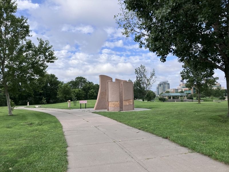
2. Explore the Route of Lewis & Clark Marker
Credits. This page was last revised on October 30, 2025. It was originally submitted on October 30, 2025, by Barry Swackhamer of Brentwood, California. This page has been viewed 63 times since then and 23 times this year. Photos: 1, 2. submitted on October 30, 2025, by Barry Swackhamer of Brentwood, California.
