Near Wichita Falls in Wichita County, Texas — The American South (West South Central)
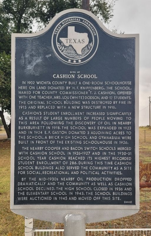
Site of Cashion School
Photographed by James Hulse, October 27, 2025
1. Site of Cashion School Marker
Cashion's student enrollment increased significantly as a result of large numbers of people moving to this area following the discovery of oil in nearby Burkburnett in 1918. The school was expanded in 1923 and in 1924 E.F. Gaston donated 3 adjoining acres to the school. A brick high school and gymnasium were built in front of the existing schoolhouse in 1926.
The nearby Cooper and Bacon Switch Schools merged with Cashion School in 1926-1927 and in the 1930-31 school year Cashion reached its highest recorded student enrollment of 286. During this time Cashion School buildings also served the community as a site for social, recreational and political activities.
By the mid-1930s nearby oil production dropped dramatically and the community as well as Cashion School declined. The high school closed in 1936 and the elementary school in 1943. The school buildings were auctioned in 1945 and moved off this site.
Erected 1993 by Texas Historical Commission. (Marker Number 750.)
Topics. This historical marker is listed in this topic list: Education. A significant historical year for this entry is 1902.
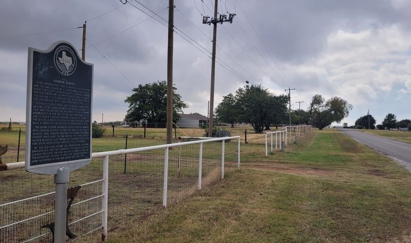
Location. 34° 2.049′ N, 98° 31.142′ W. Marker is near Wichita Falls, Texas, in Wichita County. It is on Tica Road south of Cashion Road, on the left when traveling south. The marker is located along the street. Touch for map. Marker is at or near this postal address: 8346 Tica Rd, Wichita Falls TX 76305, United States of America. Touch for directions.

Regionally, this marker is in Big Country.
this page online
Other nearby markers. At least 8 other markers are within 5 miles of this marker, measured as the crow flies: Friberg-Cooper Methodist Church (approx. 4.3 miles away); Site of Friberg School (approx. 4.3 miles away); Central Baptist Church (approx. 4.4 miles away); Samuel Burk Burnett (approx. 4.7 miles away); John Gerham Hardin (approx. 4.7 miles away); Sheppard Air Force Base (approx. 4.9 miles away); Burkburnett (approx. 4.9 miles away); The Red River (approx. 4.9 miles away). Touch for a list and map of all markers in Wichita Falls.
Photographed by James Hulse, October 27, 2025
2. The view of the Site of Cashion School Marker along the street
Credits. This page was last revised on October 31, 2025. It was originally submitted on October 30, 2025, by James Hulse of Medina, Texas. This page has been viewed 62 times since then and 32 times this year. Photos: 1, 2. submitted on October 31, 2025, by James Hulse of Medina, Texas.
