Danville in Boyle County, Kentucky — The American South (East South Central)
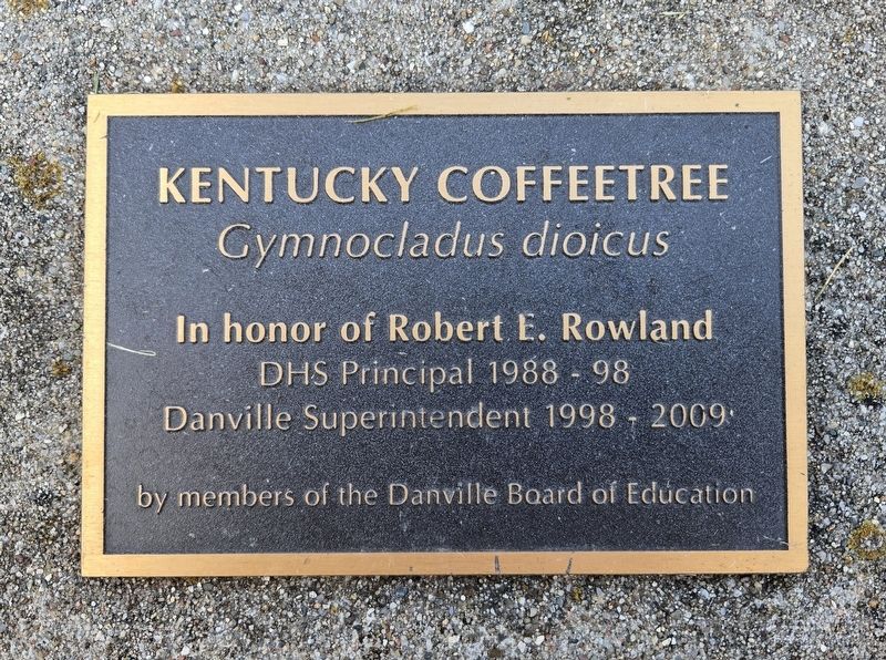
Kentucky Coffeetree
Gymnocladus dioicus
Photographed by Bradley Owen, October 18, 2025
1. Kentucky Coffeetree Marker
DHS Principal 1988 - 98
Danville Superintendent 1998 - 2009
Erected by Members of the Danville Board of Education.
Topics. This historical marker is listed in these topic lists: Education • Horticulture & Forestry. A significant historical year for this entry is 1988.
Location. 37° 38.932′ N, 84° 45.961′ W. Marker is in Danville, Kentucky, in Boyle County. It is at the intersection of East Lexington Avenue and Proctor Street, on the left when traveling east on East Lexington Avenue. Marker is located on the grounds of Danville High School. Touch for map. Marker is at or near this postal address: 295 East Lexington Avenue, Danville KY 40422, United States of America. Touch for directions.

Regionally, this marker is in Kentucky’s Bluegrass Region. It is also in the American South and specifically in the Upper South. Globally, it is in North America, the Western Hemisphere, the Western World, and the Anglosphere. Historically, it finds itself in what was once the territory of the Mississippian Culture and also the Antebellum South.
Other nearby markers. At least
this page online
Photographed by Bradley Owen, October 18, 2025
2. Kentucky Coffeetree Marker
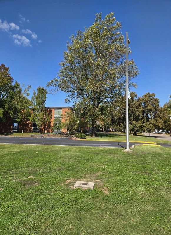
There is no longer a tree within close proximity of the marker.
Credits. This page was last revised on October 31, 2025. It was originally submitted on October 31, 2025, by Bradley Owen of Morgantown, West Virginia. This page has been viewed 46 times since then and 20 times this year. Photos: 1, 2. submitted on October 31, 2025, by Bradley Owen of Morgantown, West Virginia.
