Lecompton in Douglas County, Kansas — The American Midwest (Upper Plains)
Resilience
History Mural
| — | Historic Lecompton | — |
Photographed by Jason Voigt, October 29, 2025
1. Resilience Marker
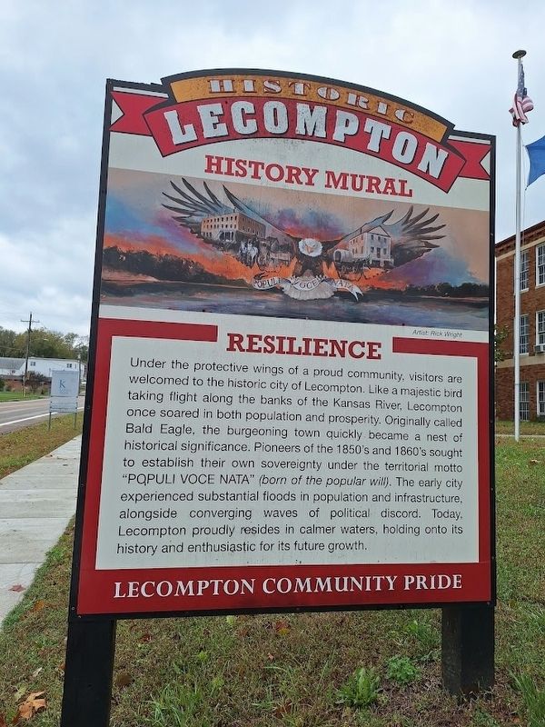
Under the protective wings of a proud community, visitors are welcomed to the historic city of Lecompton. Like a majestic bird taking flight along the banks of the Kansas River, Lecompton once soared in both population and prosperity. Originally called Bald Eagle, the burgeoning town quickly became a nest of historical significance. Pioneers of the 1850's and 1860's sought to establish their own sovereignty under the territorial motto "Populi voce nata" (born of the popular will). The early city experienced substantial floods in population and infrastructure, alongside converging waves of political discord. Today, Lecompton proudly resides in calmer waters, holding onto its history and enthusiastic for its future growth.
Topics. This historical marker is listed in these topic lists: Arts, Letters, Music • Disasters • Settlements & Settlers.
Location. 39° 2.653′ N, 95° 23.526′ W. Marker is in Lecompton, Kansas, in Douglas County. It is on East Woodson Avenue east of Halderman Street, on the right when traveling west. Marker is located in front of Lecompton Elementary
this page online

Regionally, this marker is in Eastern Kansas and specifically in Bleeding Kansas Border War Country. It is also in the American Midwest, in the Corn Belt, on the prairies, on the Southern Plains, and on the Santa Fe Trail Corridor. Globally, it is in North America, the Western Hemisphere, the Western World, and the Anglosphere. Historically, it finds itself in what was once the Louisiana Purchase.
Other nearby markers. At least 8 other markers are within 3 miles of this marker, measured as the crow flies: Historic Lecompton (within shouting distance of this marker); The Battle of Fort Titus (within shouting distance of this marker); Lane University (within shouting distance of this marker); Lecompton Constitution Hall (about 800 feet away, measured in a direct line); Veterans Monument (approx. 0.2 miles away); Sheriff Samuel J. Jones (approx. 0.2 miles away); Democratic Headquarters (approx. 0.3 miles away); Kansa Indians (approx. 3 miles away). Touch for a list and map
Photographed by Jason Voigt, October 29, 2025
2. Resilience Marker
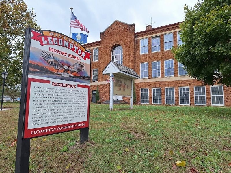
Located in front of Lecompton Elementary School
Photographed by Jason Voigt, October 29, 2025
3. Resilience Marker
Photographed by Jason Voigt, October 29, 2025
4. Resilience
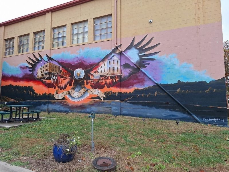
full shot of the mural
Credits. This page was last revised on October 31, 2025. It was originally submitted on October 31, 2025, by Jason Voigt of Glen Carbon, Illinois. This page has been viewed 72 times since then and 26 times this year. Photos: 1, 2, 3, 4. submitted on October 31, 2025, by Jason Voigt of Glen Carbon, Illinois.
