Near Big Pine in Inyo County, California — The American West (Pacific Coastal)
Los Angeles Aqueduct Intake
Photographed by Craig Baker, October 30, 2025
1. Los Angeles Aqueduct Intake Marker
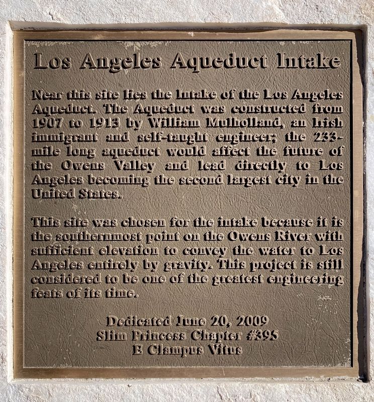
Near this site lies the Intake of the Los Angeles Aqueduct. The Aqueduct was constructed from 1907 to 1913 by William Mulholland, an Irish immigrant and self-taught engineer; the 233- mile long aqueduct would affect the future of the Owens Valley and lead directly to Los Angeles becoming the second largest city in the United States.
This site was chosen for the intake because it is the southernmost point on the Owens River with sufficient elevation to convey the water to Los Angeles entirely by gravity. This project is still considered to be one of the greatest engineering feats of its time.
Erected 2009 by Slim Princess Chapter #395 E Clampus Vitus.
Topics and series. This historical marker is listed in these topic lists: Industry & Commerce • Natural Resources • Notable Places. In addition, it is included in the E Clampus Vitus series list. A significant historical year for this entry is 1907.
Location. 36° 58.668′ N, 118° 14.109′ W. Marker is near Big Pine, California, in Inyo County. It can be reached from North Coloseum Road. Located 13 miles north of Independence, east of Highway
this page online

Regionally, this marker is in California’s Sierra Nevada. It is also in the American Mountain West. Globally, it is in North America, on the Ring of Fire, in the Pacific Rim, in the Western Hemisphere, in the Western World, and in the Anglosphere. Historically, it finds itself in what was once New Spain and also Mexico’s Alta California.
Other nearby markers. At least 8 other markers are within 13 miles of this marker, measured as the crow flies: Los Angeles Aqueduct (approx. 1.4 miles away); Oak Creek Community Park (approx. 9½ miles away); Camp Independence (approx. 10 miles away); Mt. Whitney Fish Hatchery (approx. 10.2 miles away); Historic Independence (approx. 12 miles away); Inyo County Courthouse (approx. 12.2 miles away); Putnam’s Stone Cabin (approx. 12.3 miles away); Mining in Inyo County (approx. 12.3 miles away).
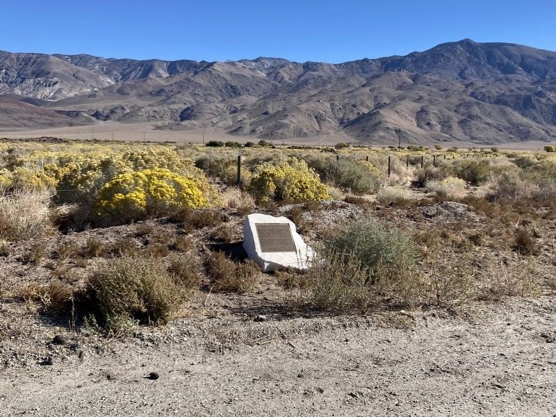
Photographed by Craig Baker, October 30, 2025
2. Los Angeles Aqueduct Intake Marker
Photographed by Craig Baker, October 30, 2025
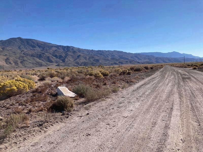
3. Los Angeles Aqueduct Intake Marker
The intake is 1½ miles away -- Not open to the public.
Photographed by Craig Baker, October 30, 2025
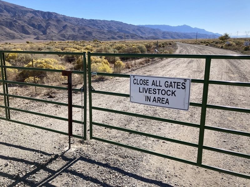
4. Los Angeles Aqueduct Intake Marker
The marker is 100 feet beyond a closed gate, which is not locked.
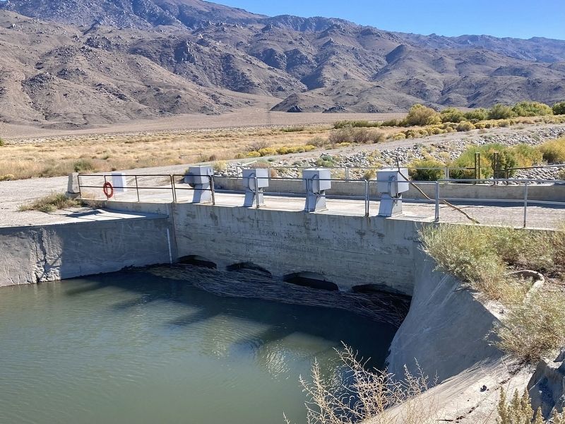
Photographed by Craig Baker, October 30, 2025
5. Los Angeles Aqueduct Intake
Credits. This page was last revised on November 2, 2025. It was originally submitted on November 2, 2025, by Craig Baker of Sylmar, California. This page has been viewed 136 times since then and 86 times this year. Photos: 1, 2, 3, 4. submitted on November 2, 2025, by Craig Baker of Sylmar, California. 5. submitted on October 31, 2025, by Craig Baker of Sylmar, California.
