Solomons in Calvert County, Maryland — The American Northeast (Mid-Atlantic)
Patuxent River Naval Air Station
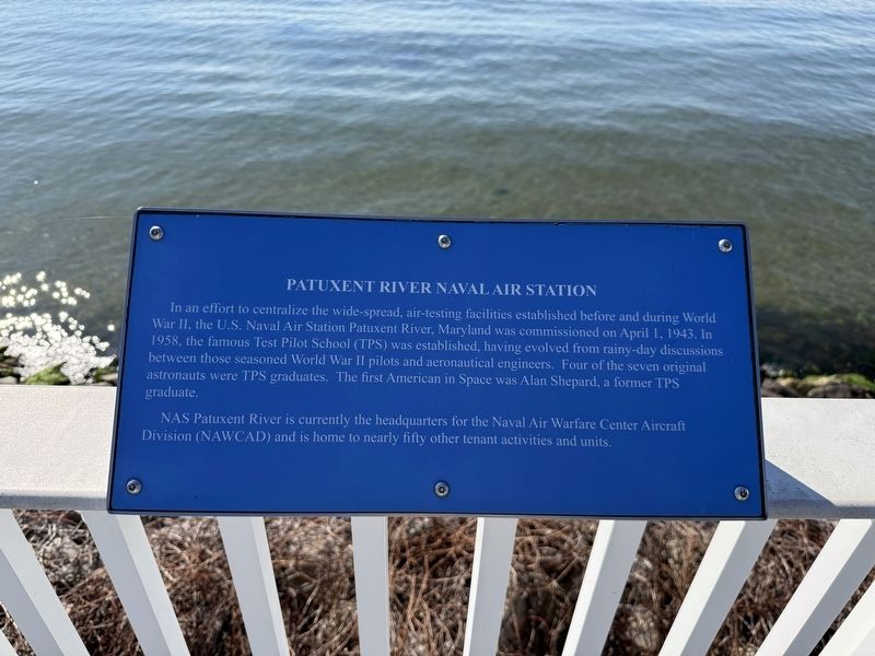
In an effort to centralize the wide-spread, air-testing facilities established before and during World War II, the U.S. Naval Air Station Patuxent River, Maryland was commissioned on April 1, 1943. In 1958, the famous Test Pilot School (TPS) was established, having evolved from rainy-day discussions between those seasoned World War II pilots and aeronautical engineers. Four of the seven original astronauts were TPS graduates. The first American in Space was Alan Shepard, a former TPS graduate.
NAS Patuxent River is currently the headquarters for the Naval Air Warfare Center Aircraft Division (NAWCAD) and is home to nearly fifty other tenant activities and units.
Topics. This historical marker is listed in these topic lists: Air & Space • Education • Military • War, World II. A significant historical date for this entry is April 1, 1943.
Location. 38° 19.208′ N, 76° 27.483′ W. Marker is in Solomons, Maryland, in Calvert County. It is on Solomons Island Road South north of Charles Street, on the right when traveling south. Touch for map. Marker is at or near this postal address: 14636 Solomons Island Rd S, Solomons
this page online

Regionally, this marker is in Southern Maryland. It is also in the American South, specifically in the Upper South, in the Mid-Atlantic, in the Tidewater, in the Chesapeake Bay Region, and on the Eastern Seaboard. Globally, it is in the North Atlantic Region, North America, the Western Hemisphere, the Western World, and the Anglosphere. Historically, it finds itself in what was once one of the original Thirteen Colonies and also the Antebellum South.
Other nearby markers. At least 8 other markers are within walking distance of this marker: The ESSO Fleet (within shouting distance of this marker); Majestic Patuxent River (about 300 feet away, measured in a direct line); Dewey Floating Dry Dock (about 500 feet away); Point Patience (about 500 feet away); Governor Thomas Johnson Bridge (approx. 0.2 miles away); Watery Grave (approx. 0.2 miles away); M. M. Davis Shipyard (approx. 0.2 miles away); War of 1812 (approx. 0.2 miles away). Touch for a list and map of all markers in Solomons.
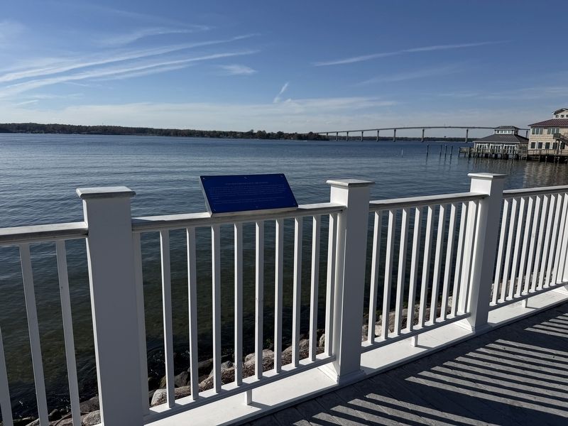
Photographed by Devry Becker Jones (CC0), November 2, 2025
2. Patuxent River Naval Air Station Marker
Credits. This page was last revised on November 2, 2025. It was originally submitted on November 2, 2025, by Devry Becker Jones of Washington, District of Columbia. This page has been viewed 42 times since then and 16 times this year. Photos: 1, 2. submitted on November 2, 2025, by Devry Becker Jones of Washington, District of Columbia.
