
Cowles in Webster County, Nebraska — The American Midwest (Upper Plains)
Cowles Consolidated School
1913-1959
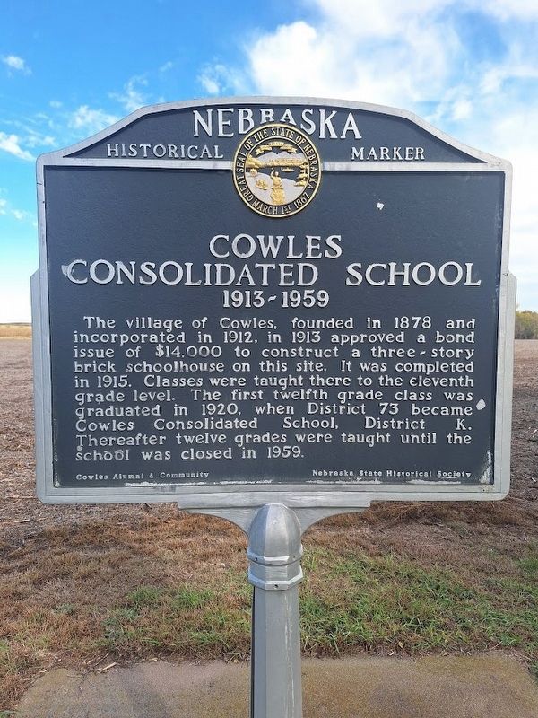
Photographed by Jason Voigt, October 28, 2025
1. Cowles Consolidated School Marker
The village of Cowles, founded in 1878 and incorporated in 1912, in 1913 approved a bond issue of $14,000 to construct a three-story brick schoolhouse on this site. It was completed in 1915. Classes were taught there to the eleventh grade level. The first twelfth grade class was graduated in 1920, when District 73 became Cowles Consolidated School, District K. Thereafter twelve grades were taught until the school was closed in 1959.
Erected by Cowles Alumni & Community and Nebraska State Historical Society.
Topics and series. This historical marker is listed in this topic list: Education. In addition, it is included in the Nebraska State Historical Society series list. A significant historical year for this entry is 1878.
Location. 40° 10.356′ N, 98° 26.97′ W. Marker is in Cowles, Nebraska, in Webster County. It is on Adams Street east of 5th Street, on the left when traveling east. Touch for map. Marker is at or near this postal address: 504 4th St, Blue Hill NE 68930, United States of America. Touch for directions.

Regionally, this marker is in Nebraska’s Smoky Hills, in Eastern Nebraska and in the Republican
this page online
Other nearby markers. At least 8 other markers are within 8 miles of this marker, measured as the crow flies: War Memorial (about 400 feet away, measured in a direct line); Grace Episcopal Church (approx. 6.8 miles away); Webster County (approx. 6.8 miles away); Cottonwood Tree - 1871 (approx. 6.9 miles away); Red Cloud (approx. 7 miles away); Red Cloud Volunteer Fire Department Bell (approx. 7 miles away); Cather Childhood Home (approx. 7 miles away); St. Juliana Falconieri Catholic Church (approx. 7½ miles away).
More about this marker. Marker text repeats on both sides.
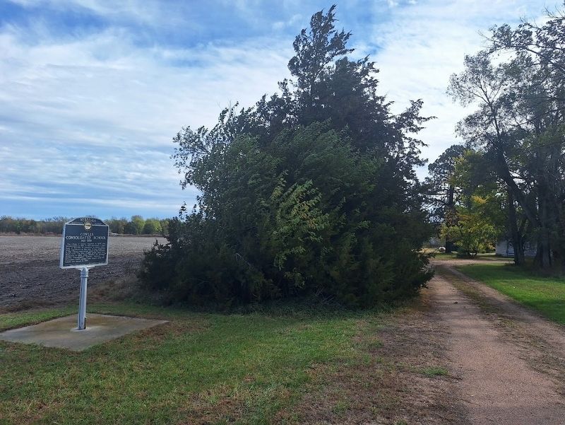
Photographed by Jason Voigt, October 28, 2025
2. Cowles Consolidated School Marker
Credits. This page was last revised on November 2, 2025. It was originally submitted on November 2, 2025, by Jason Voigt of Glen Carbon, Illinois. This page has been viewed 63 times since then and 33 times this year. Photos: 1, 2. submitted on November 2, 2025, by Jason Voigt of Glen Carbon, Illinois.
