Brampton in Peel Region, Ontario — Central Canada (North America)
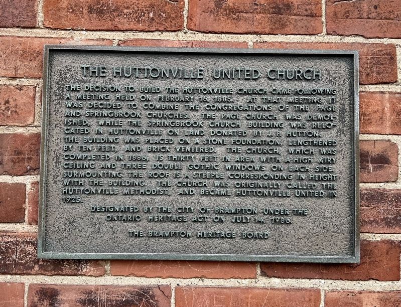
The Huttonville United Church
Photographed by Tim Boyd, November 2, 2025
1. The Huttonville United Church Marker
Designated by the City of Brampton under the Ontario Heritage Act on July 14, 1986.
Erected 1986 by Brampton Heritage Board.
Topics. This historical marker is listed in these topic lists: Architecture • Religion & Religious Structures. A significant historical year for this entry is 1885.
Location. 43° 38.609′ N, 79° 48.043′ W. Marker is in Brampton, Ontario, in Peel Region. It is on Embleton
this page online

Regionally, this marker is in Greater Toronto, specifically on the Golden Horseshoe, and in the Toronto Metropolitan Area. It is also in Central Canada. Globally, it is in North America, on the Great Lakes, in the Western Hemisphere, in the Western World, and in the Anglosphere. Historically, it finds itself in what was once a British colony, the Viceroyalty of New France, the Haudenosaunee (Iroquois) Confederacy, and Rupert’s Land.
Other nearby markers. At least 8 other markers are within 6 kilometers of this marker, measured as the crow flies: The Blackburn Family: Overcoming Racism to Build a Better Community (approx. 4.5 kilometers away); St. Paul’s Anglican Church & Parish Hall (approx. 4.6 kilometers away); Gage Park (approx. 5.6 kilometers away); Historical Summary 27 Church Street West / Résumé historique 27 Church Street West (approx. 5.6 kilometers away); Gage Park Bandstand (approx. 5.7 kilometers
Photographed by Tim Boyd, November 2, 2025
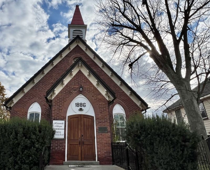
2. The Huttonville United Church Marker
Photographed by Tim Boyd, November 2, 2025
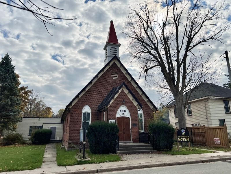
3. Former Huttonville United Church, currently Huttonville Mosque
Credits. This page was last revised on November 3, 2025. It was originally submitted on November 3, 2025, by Tim Boyd of Hamilton, Ontario. This page has been viewed 95 times since then and 58 times this year. Photos: 1, 2, 3. submitted on November 3, 2025, by Tim Boyd of Hamilton, Ontario. • Andrew Ruppenstein was the editor who published this page.
