Marker Logo
THE HISTORICAL
MARKER DATABASE
“Bite-Size Bits of Local, National, and Global History”
Brampton in Peel Region, Ontario — Central Canada (North America)
 

The Founding of Brampton
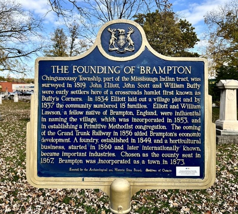
 
 
The Founding of Brampton Marker image. Click for full size.
Photographed by Tim Boyd, November 2, 2025
1. The Founding of Brampton Marker
Inscription. Chinguacousy Township, part of the Missisauga Indian tract, was surveyed in 1819. John Elliott, John Scott and William Buffy were early settlers here of a crossroads hamlet first known as Butty's Corners. In 1834 Elliott laid out a village plot and by 1837 the community numbered 18 families. Elliott and William Lawson, a fellow native of Brampton, England, were influential in naming the village, which was incorporated in 1853, and in establishing a Primitive Methodist congregation. The coming of the Grand Trunk Railway in 1856 aided Brampton's economic development. A foundry, established in 1849, and a horticultural business, started in 1860 and later internationally known, became important industries. Chosen as the county seat in 1867, Brampton was incorporated as a town in 1873.
 
Erected by Archaeological and Historic Sites Board of Ontario.
 
Topics and series. This historical marker is listed in these topic lists: Industry & CommerceSettlements & Settlers. In addition, it is included in the Canada, Ontario Heritage Trust series list. A significant historical year for this entry is 1819.
 
Location. 43° 41.64′ N, 79° 46.24′ W.
Paid Advertisement
Click or scan to see
this page online
Marker is in Brampton, Ontario, in Peel Region. It is on Main Street North 0.2 kilometers north of Vodden Street East, on the right when traveling north. The marker is in the Old Brampton Cemetery. Touch for map. Marker is at or near this postal address: 354 Main Street N, Brampton ON L6X 1N6, Canada. Touch for directions.

Regionally, this marker is in Greater Toronto, specifically on the Golden Horseshoe, and in the Toronto Metropolitan Area. It is also in Central Canada. Globally, it is in North America, the Western Hemisphere, the Western World, and the Anglosphere. Historically, it finds itself in what was once a British colony, the Viceroyalty of New France, the Haudenosaunee (Iroquois) Confederacy, and Rupert’s Land.

Other nearby markers. At least 8 other markers are within walking distance of this marker: Brampton- Flowertown of Canada (approx. half a kilometer away); The Dale Estate / Le Domaine Dale (approx. half a kilometer away); The McKillop House (approx. 0.8 kilometers away); Historical Summary 27 Church Street West / Rιsumι historique 27 Church Street West (approx. 0.9 kilometers away); Carnegie Library
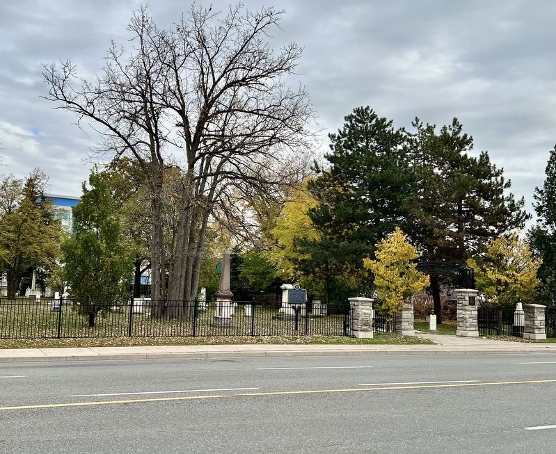
The Founding of Brampton Marker image. Click for full size.
Photographed by Tim Boyd, November 2, 2025
2. The Founding of Brampton Marker
(approx. 1.2 kilometers away); The Old Fire Hall (approx. 1.3 kilometers away); 20th Regiment Halton Rifles/ 36th Peel Regiment (approx. 1.3 kilometers away); The Armstrong House (approx. 1.3 kilometers away). Touch for a list and map of all markers in Brampton.
 
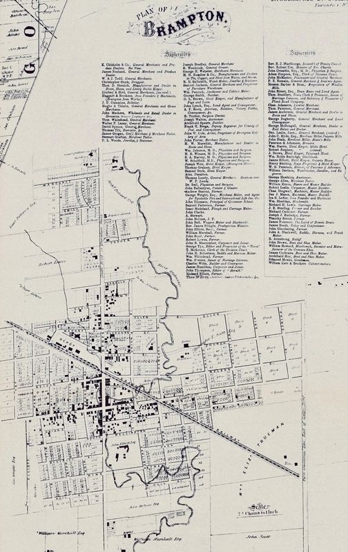
The Village of Brampton in 1859 image. Click for full size.
3. The Village of Brampton in 1859
From Tremaine’s Historical County Map of Peel
 
 
Credits. This page was last revised on November 3, 2025. It was originally submitted on November 3, 2025, by Tim Boyd of Hamilton, Ontario. This page has been viewed 64 times since then and 16 times this year. Photos:   1, 2, 3. submitted on November 3, 2025, by Tim Boyd of Hamilton, Ontario. • Andrew Ruppenstein was the editor who published this page.

m=287692

CeraNet Cloud Computing sponsors the Historical Marker Database.
This website earns income from purchases you make after using our links to Amazon.com. We appreciate your support.
Paid Advertisement
Aug. 5, 2026
