Brampton in Peel Region, Ontario — Central Canada (North America)
The Dale Estate
⎯⎯⎯
Le Domaine Dale
Photographed by Tim Boyd, November 2, 2025
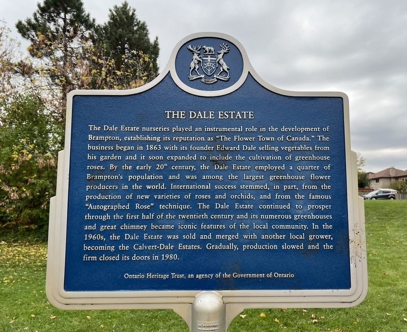
1. The Dale Estate Marker

The Dale Estate nurseries played an instrumental role in the development of Brampton, establishing its reputation as "The Flower Town of Canada." The business began in 1863 with its founder Edward Dale selling vegetables from his garden and it soon expanded to include the cultivation of greenhouse roses. By the early 20th century, the Dale Estate employed a quarter of Brampton's population and was among the largest greenhouse flower producers in the world. International success stemmed, in part, from the production of new varieties of roses and orchids, and from the famous "Autographed Rose" technique. The Dale Estate continued to prosper through the first half of the twentieth century and its numerous greenhouses and great chimney became iconic features of the local community. In the 1960s, the Dale Estate was sold and merged with another local grower, becoming the Calvert-Dale Estates. Gradually, production slowed and the firm closed its doors in 1980.
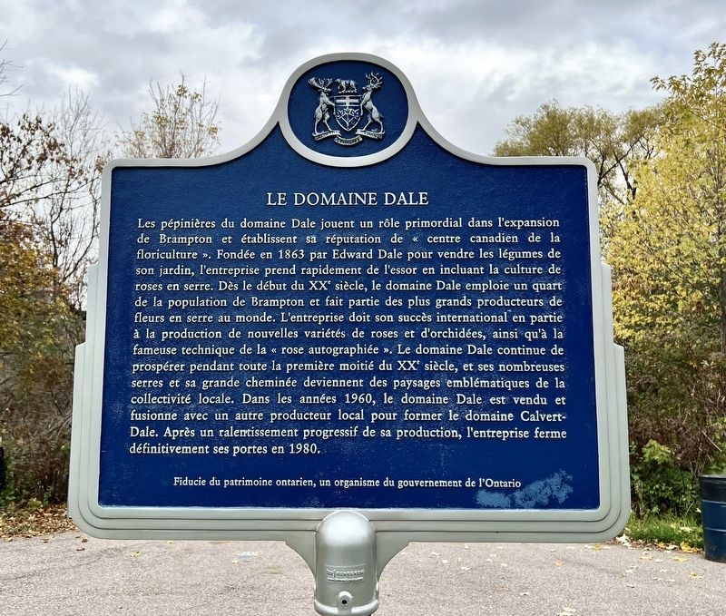
Les pépinières du domaine Dale jouent un rôle primordial dans l'expansion de Brampton et établissent sa réputation de «
this page online
Erected by Ontario Heritage Treust.
Topics and series. This historical marker is listed in this topic list: Horticulture & Forestry. In addition, it is included in the Canada, Ontario Heritage Trust
Photographed by Tim Boyd, November 2, 2025
2. The Dale Estate / Le Domaine Dale Marker
Location. 43° 41.641′ N, 79° 45.847′ W. Marker is in Brampton, Ontario, in Peel Region. It is at the intersection of Ken Whillans Drive and Sporule Drive, on the right when traveling south on Ken Whillans Drive. The Marker is in Ken Whillans Drive Park. Touch for map. Marker is at or near this postal address: 101 Ken Whillans Dr, Brampton ON L6V 4B9, Canada. Touch for directions.

Regionally, this marker is in Greater Toronto, specifically on the Golden Horseshoe, and in the Toronto Metropolitan Area. It is also in Central Canada. Globally, it is in North America, on the Great Lakes, in the Western Hemisphere, in the Western World, and in the Anglosphere. Historically, it finds itself in what was once a British colony, the Viceroyalty of New France, the Haudenosaunee (Iroquois) Confederacy, and Rupert’s Land.
Other nearby markers. At least 8 other markers are within walking distance of this marker: Brampton- Flowertown of Canada (within shouting distance of this marker); The Founding of Brampton (approx. half a kilometer away); The McKillop House (approx.
Photographed by Tim Boyd, November 2, 2025
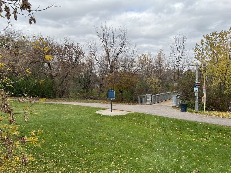
3. The Dale Estate / Le Domaine Dale Marker
From near Ken Whillans Drive
Photographed by Tim Boyd, November 2, 2025
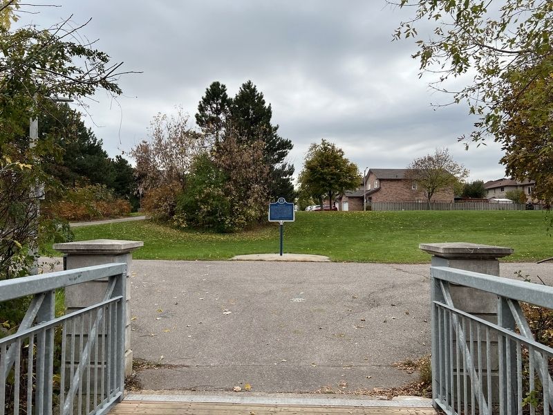
4. The Dale Estate / Le Domaine Dale Marker
Facing towards Ken Whillan Drive from the Etobicoke Creek Bridge in the park
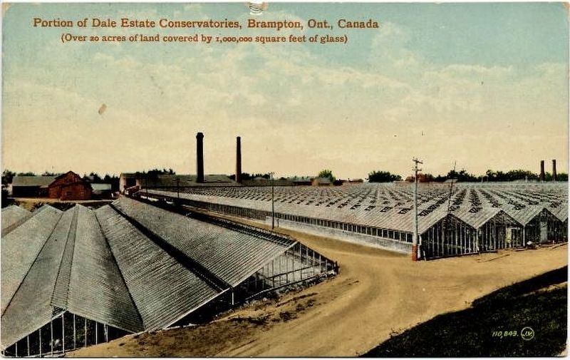
5. Portion of the Dale Estate greenhouses 1915
Peel Archies (public domain)
Credits. This page was last revised on November 3, 2025. It was originally submitted on November 3, 2025, by Tim Boyd of Hamilton, Ontario. This page has been viewed 50 times since then and 24 times this year. Photos: 1, 2, 3, 4, 5. submitted on November 3, 2025, by Tim Boyd of Hamilton, Ontario. • Andrew Ruppenstein was the editor who published this page.
