Golden in Jefferson County, Colorado — The American Mountains (Southwest)
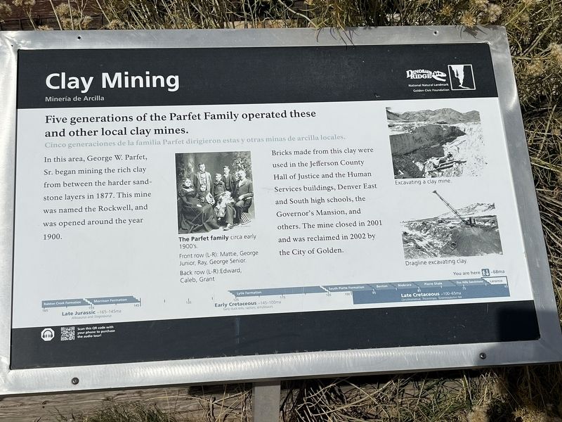
Clay Mining
Mineria de Arcilla
Photographed by Leslie Eudy
1. Clay Mining Marker

Bricks made from this clay were used in the Jefferson County Hall of Justice and the Human Services buildings, Denver East and South high schools, the Governor’s Mansion, and others. The mine closed in 2001 and was reclaimed in 2002 by the City of Golden.
Topics. This historical marker is listed in this topic list: Industry & Commerce.
Location. 39° 44.591′ N, 105° 13.201′ W. Marker is in Golden, Colorado, in Jefferson County. It can be reached from Triceratops Trail. The trailhead is off 6th Avenue (U.S. 6) half a mile south of 19th Street. When walking, after passing the Triceratops Trail Marker, this marker is at the second turn on the path. Touch for map. Marker is in this post office area: Golden
this page online

Regionally, this marker is in the Front Range. It is also in the American Mountain West. Globally, it is in North America, the Rocky Mountains, the Western Hemisphere, the Western World, and the Anglosphere. Historically, it finds itself in what was once the Louisiana Purchase.
Other nearby markers. At least 8 other markers are within walking distance of this marker: Bird Track (within shouting distance of this marker); Triceratops Tracks (within shouting distance of this marker); Palm Fronds (within shouting distance of this marker); Triceratops Trail (about 300 feet away, measured in a direct line); Colorado School Of Mines (approx. 0.7 miles away); Stop 7: Laramie Formation (68 mya) Clay Pits Fault, Fire Clay Mining, Reclamation (approx. 0.7 miles away); Stop 7a: White Ash Mine (approx. ¾ mile away); White Ash Mine Disaster (approx. ¾ mile away). Touch for a list and map of all markers in Golden.
Photographed by Leslie Eudy, November 1, 2025
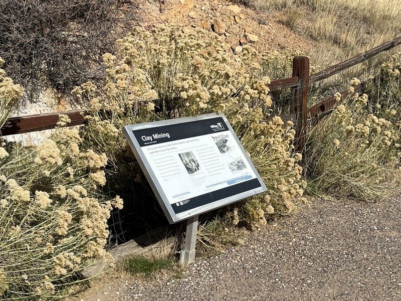
2. Clay Mining Marker Wide View
Photographed by Leslie Eudy, November 1, 2025
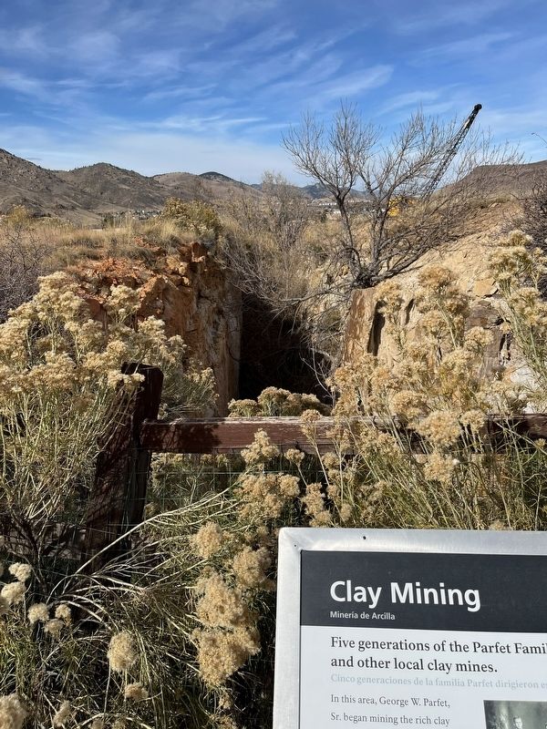
3. A Portion of the Clay Mine
Note the historical excavator in the background.
Credits. This page was last revised on November 3, 2025. It was originally submitted on November 3, 2025, by Leslie Eudy of Golden, Colorado. This page has been viewed 75 times since then and 43 times this year. Photos: 1, 2, 3. submitted on November 3, 2025, by Leslie Eudy of Golden, Colorado. • Andrew Ruppenstein was the editor who published this page.
