
Ocean Park in Santa Monica in Los Angeles County, California — The American West (Pacific Coastal)
Third Street Neighborhood Historic District
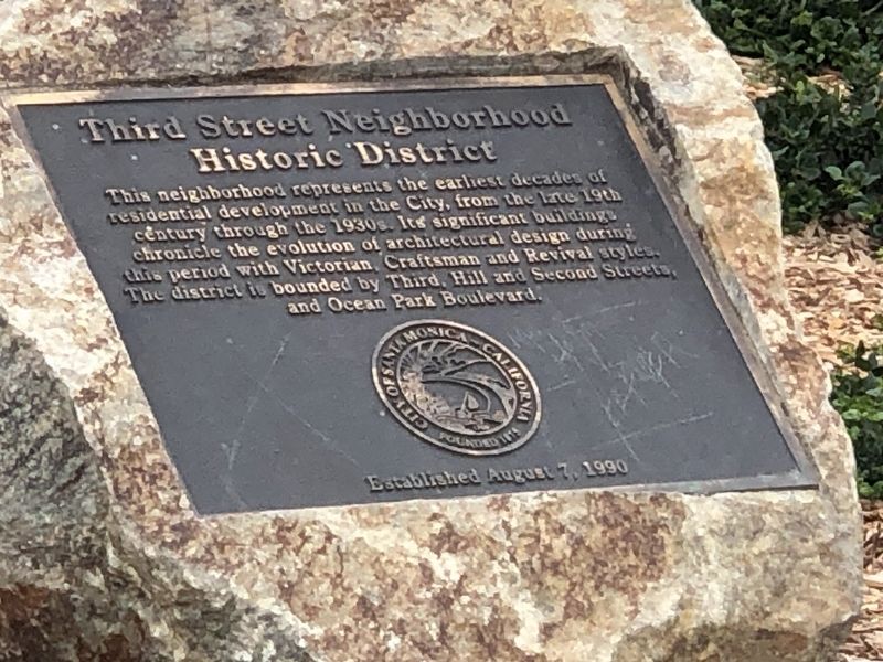
Photographed by Duane and Tracy Marsteller, September 27, 2025
1. Third Street Neighborhood Historic District Marker
Erected by City of Santa Monica.
Topics. This historical marker is listed in these topic lists: Architecture • Notable Places. A significant historical date for this entry is August 7, 1990.
Location. 34° 0.165′ N, 118° 28.986′ W. Marker is in Santa Monica, California, in Los Angeles County. It is in Ocean Park. It is at the intersection of 2nd Street and Ocean Park Boulevard, on the right when traveling north on 2nd Street. Touch for map. Marker is at or near this postal address: 2537 2nd St, Santa Monica CA 90405, United States of America. Touch for directions.

Regionally, this marker is in Greater Los Angeles and in the Transverse Ranges. It is also on the American Pacific Coast. Globally, it is in North America, on the Ring
this page online
Other nearby markers. At least 8 other markers are within walking distance of this marker: Ocean Park Branch Library (within shouting distance of this marker); Shotgun House (within shouting distance of this marker); a different marker also named Third Street Neighborhood Historic District (about 300 feet away, measured in a direct line); Roy Jones House (about 400 feet away); a different marker also named Third Street Neighborhood Historic District (about 700 feet away); George House (approx. 0.2 miles away); Native Story (approx. 0.3 miles away); Pleasure Piers (approx. 0.3 miles away). Touch for a list and map of all markers in Santa Monica.
Also see . . .
1. Third Street Neighborhood Historic District. The Third Street Neighborhood Historic District is the city’s first Historic District. It consists of 38 contributing buildings constructed between 1875 and 1930, offering a visual chronicle of the beginnings of the Ocean
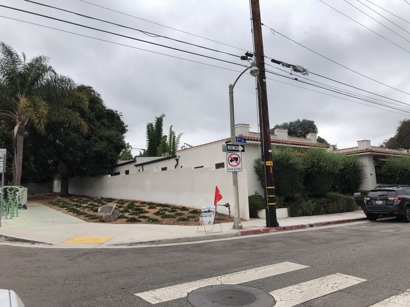
Photographed by Duane and Tracy Marsteller, September 27, 2025
2. Third Street Neighborhood Historic District Marker
2. Welcome to the Third Street Neighborhood Historic District Tour (PDF). Tour brochure of the neighborhood, with photographs, map and additional information about significant properties in the district. (Santa Monica Conservancy) (Submitted on November 6, 2025, by Duane and Tracy Marsteller of Murfreesboro, Tennessee.)
Credits. This page was last revised on November 6, 2025. It was originally submitted on November 5, 2025, by Duane and Tracy Marsteller of Murfreesboro, Tennessee. This page has been viewed 70 times since then and 39 times this year. Photos: 1, 2. submitted on November 5, 2025, by Duane and Tracy Marsteller of Murfreesboro, Tennessee.
