Brampton in Peel Region, Ontario — Central Canada (North America)
The McKillop House
Photographed by Tim Boyd, November 2, 2025
1. The McKillop House Marker
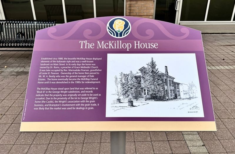
Established circa 1880, the beautiful McKillop House displayed elements of the Italianate style and was a well-known landmark on Main Street. In its early days the home was owned by Dr. Burns, a preacher of Grace Methodist Church. It was later occupied by Rev. Marmaduke Pearson, grandfather of Lester B. Pearson. Ownership of the home then passed to Mr. W. A. Beatty who was the general manager of Dale Estates. The home eventually became the McKillop Funeral Home until it was demolished in the 1980s for redevelopment.
The McKillop House stood upon land that was referred to as 'Block B' in the George Wright subdivision, and records indicate that the property was originally set aside to be used as a market. Due to the proximity of the lot to George Wright's home (the Castle), the Wright's association with the grain business, and Brampton's involvement with the grain trade, it was likely that the market was used for dealings in grain.
Topics. This historical marker is listed in these topic lists: Architecture • Industry & Commerce. A significant historical year for this entry is 180 CE.
Location. 43° 41.34′ N, 79° 45.863′ W.
this page online

Regionally, this marker is in Greater Toronto, specifically on the Golden Horseshoe, and in the Toronto Metropolitan Area. It is also in Central Canada. Globally, it is in North America, on the Great Lakes, in the Western Hemisphere, in the Western World, and in the Anglosphere. Historically, it finds itself in what was once a British colony, the Viceroyalty of New France, the Haudenosaunee (Iroquois) Confederacy, and Rupert’s Land.
Other nearby markers. At least 8 other markers are within walking distance of this marker: Historical Summary 27 Church Street West / Résumé historique 27 Church Street West (about 240 meters away, measured in a direct line); Brampton- Flowertown of Canada (approx. half a kilometer away); Carnegie Library (approx. half a kilometer away); The Old Fire Hall (approx. half a kilometer away); The Dale Estate / Le Domaine Dale
Photographed by Tim Boyd, November 2, 2025
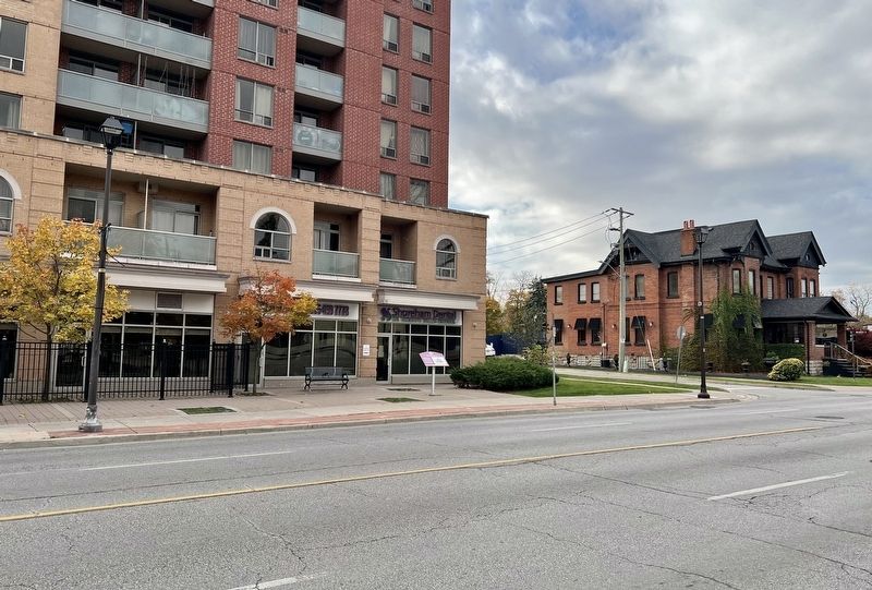
2. The McKillop House Marker
Credits. This page was last revised on November 8, 2025. It was originally submitted on November 5, 2025, by Tim Boyd of Hamilton, Ontario. This page has been viewed 47 times since then and 22 times this year. Photos: 1, 2. submitted on November 5, 2025, by Tim Boyd of Hamilton, Ontario. • Andrew Ruppenstein was the editor who published this page.
