Humboldt in Allen County, Kansas — The American Midwest (Upper Plains)
Santa Fe Depot - Humboldt, Kansas

Photographed by William Fischer, Jr., October 15, 2015
1. Santa Fe Depot - Humboldt, Kansas Marker
Plans to build railroads culminated in Lawrence, Ks in Feb. 1858, but in 1870 a dramatic life or death race to the Oklahoma border for the "Iron Horse" came to Humboldt with rejoice and bitter fighting. The L. L. & G. Railroad tracks (Leavenworth, Lawrence, & Galveston), which later merged with the Santa Fe, arrived here in second place on Oct. 25, 1870 on the east side of town, financed with land grants and $150,000 in capital stock. The first depot was built around 1870 and later replaced in 1909 with this depot. It was built out of face brick manufactured at the Humboldt Brick and Tile plant.
Compiled by Carolyn Whitaker, Historian
[Depot artwork by] Gary Hawk
Erected by Humboldt Historical Museum and Concerned Citizens and Organizations.
Topics. This historical marker is listed in these topic lists: Industry & Commerce • Railroads & Streetcars • Settlements & Settlers. A significant historical month for this entry is February 1858.
Location. 37° 49.24′ N, 95° 25.713′ W. Marker is in Humboldt, Kansas, in Allen County. It is on Hawaii Road 0.3 miles east of 8th Street/Old US Hwy 169, on the left when traveling
this page online

Regionally, this marker is in Eastern Kansas. It is also in the American Midwest, in the Corn Belt, on the prairies, and on the Southern Plains. Globally, it is in North America, the Western Hemisphere, the Western World, and the Anglosphere. Historically, it finds itself in what was once the Louisiana Purchase.
Other nearby markers. At least 8 other markers are within walking distance of this marker: Rev. D. D. Payne (approx. 0.4 miles away); Veterans Memorial (approx. 0.4 miles away); German Evangelical Church, 1860 (approx. 0.7 miles away); Sophia Fussman (approx. ¾ mile away); J. A. Coffey (approx. ¾ mile away); Abel Secrest (approx. ¾ mile away); Colonel Orlin Thurston (approx. ¾ mile away); Confederate Soldier (approx. 0.8 miles away). Touch for a list and map of all markers in Humboldt.
Photographed by William Fischer, Jr., October 15, 2015
2. Santa Fe Depot - Humboldt, Kansas Marker
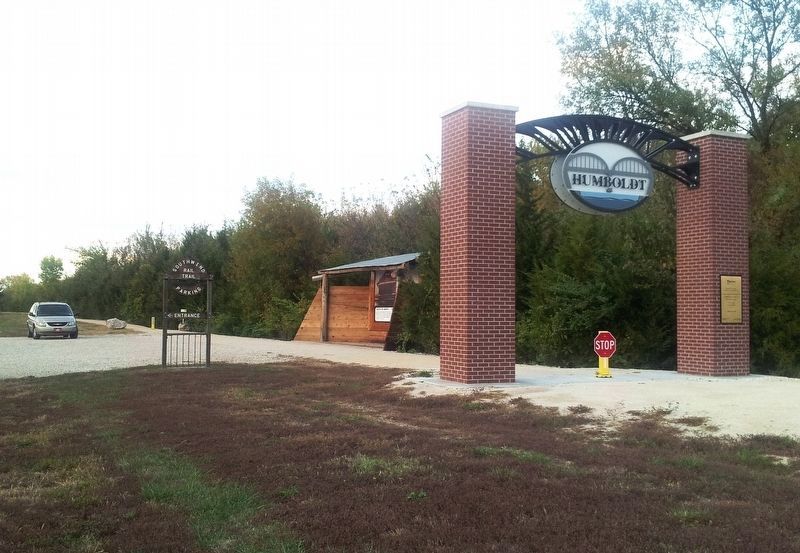
At distant center, beyond the brick gateway arch over the rail trail

Photographed by William Fischer, Jr., October 15, 2015
3. Southwind Rail Trailhead Sign
Photographed by William Fischer, Jr., October 15, 2015
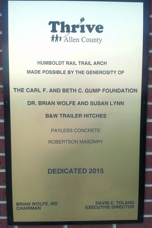
4. Southwind Rail Trail Humboldt Gateway Arch Sponsors
Credits. This page was last revised on November 5, 2025. It was originally submitted on November 5, 2025, by William Fischer, Jr. of Reynoldsburg, Ohio. This page has been viewed 80 times since then and 39 times this year. Photos: 1, 2, 3, 4. submitted on November 5, 2025, by William Fischer, Jr. of Reynoldsburg, Ohio.
