Lincoln in Lancaster County, Nebraska — The American Midwest (Upper Plains)
Missouri Pacific History
Photographed by William Fischer, Jr., February 12, 2012
1. Missouri Pacific History Marker
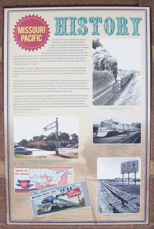
On July 4, 1851, at St Louis, Missouri, ground breaking for the Pacific Railroad marked the beginning of this historic railway. The first section of track was completed in 1852. In 1872, the company was reorganized as the Missouri Pacific Railway and advertised as the first railroad west of the Mississippi River. The Missouri Pacific soon came under control of New York financier Jay Gould, who developed a rail system extending through several states, including Nebraska. The company became a major hauler of grain, coal, ore, autos and other dry goods. At its peak, the Missouri Pacific, or "MoPac," operated more than 11,000 miles of track in 11 states.
Missouri Pacific construction in Nebraska included a main line from Atchison, Kansas, to Omaha, the original route completed in 1882. A branch line from Union, Neb, to Lincoln was completed in 1886. Freight trains then operated over the branch for about 102 years, connecting with main line trains at Union.
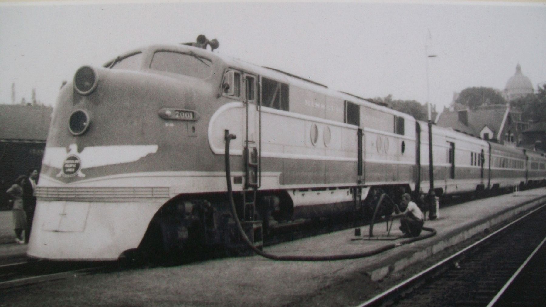
The Missouri Pacific's passenger train service was symbolized by its Eagle streamliners, starting with one inaugurated between St. Louis, Kansas City and Omaha in 1940. It later became known as the Missouri River Eagle. Another distinctive operation was the "Eaglet," a streamlined rail car that made two round trips daily over the branch between Lincoln and Union from 1942 to July 1954, when it was replaced by a bus. The Missouri River Eagle itself was discontinued north of Kansas City in 1965.
On December 22, 1982, the Missouri Pacific merged with the Union Pacific and Western Pacific railroad companies to create the Union Pacific System. Flooding ended MoPac freight service between Lincoln and Union in 1984, although limited operations east to Elmwood continued until August 1986 The right of way from west of Weeping Water was later sold for development
this page online
-Information provided by Michael M. Bartels.
[Photo captions, clockwise from top right, read]
• The steam train puffing out smoke near Harrison Street in Omaha.
• Missouri Pacific 7001, "the Route of the Eagles" diesel passenger service at Jefferson City, Missouri on June 6, 1948.
• The MOPAC days are gone, as the old tracks are torn up in Lincoln.
• Ticket books showing The Eagles route, including Lincoln, NE.
• A Union Pacific freight train stops traffic as it crosses 27th Street while delivering cars on the former Mo[P]ac right-of-way on August 7, 1995
Background photo: Lincoln's old right-of-way
Erected by Nebraska Dept of Roads, Great Plains Trails Network, Lincoln Cares, and Concerned Citizens and Organizations.
Topics. This historical marker is listed in these topic lists: Industry & Commerce • Railroads & Streetcars. A significant historical date for this entry is July 4, 1851.
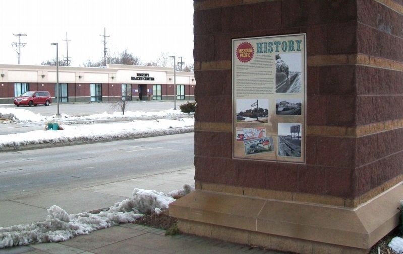
Location. 40° 49.412′ N, 96° 40.926′ W. Marker is in Lincoln, Nebraska,
Photographed by William Fischer, Jr., February 12, 2012
2. Missouri Pacific History Marker

Regionally, this marker is in the American Midwest, in the Corn Belt, and on the prairies. Globally, it is in North America, the Western Hemisphere, the Western World, and the Anglosphere. Historically, it finds itself in what was once the Louisiana Purchase.
Other nearby markers. At least 8 other markers are within one mile of this marker, measured as the crow flies: Neighborhood History (here, next to this marker); Elaine Hammer Bridge (within shouting distance of this marker); Paul A. "Doc" Downs (approx. 0.9 miles away); Institute of Agriculture and Natural Resources (approx. 0.9 miles away); The Lewis-Syford House (approx. 0.9 miles away); RHO Chapter House (approx. 0.9 miles away); Pershing Rifles (approx. one mile away); The Nebraska State Historical Society (approx. one mile away). Touch for a list and map of all markers in Lincoln.
Also see . . . Missouri Pacific Historical Society.
Photographed by William Fischer, Jr., February 12, 2012
3. Missouri Pacific History Marker
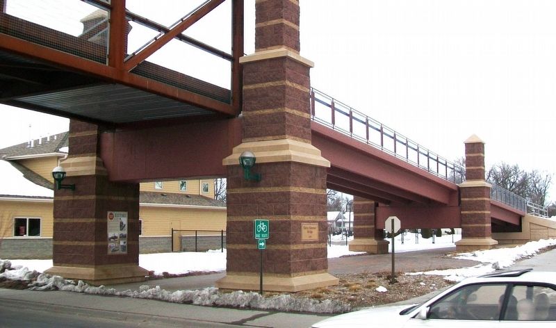
On bridge pier
Arthur B. Johnson/T. Greuter Collection, 1948
4. MoPac E3 #7001 on Missouri Pacific History Marker
Credits. This page was last revised on November 6, 2025. It was originally submitted on November 6, 2025, by William Fischer, Jr. of Reynoldsburg, Ohio. This page has been viewed 104 times since then and 55 times this year. Photos: 1, 2, 3, 4. submitted on November 6, 2025, by William Fischer, Jr. of Reynoldsburg, Ohio.
