Gladstone in Delta County, Michigan — The American Midwest (Great Lakes)
Bay Shore Drive
| — | City of Gladstone Historic Tour | — |
Photographed by Joel Seewald, October 9, 2025
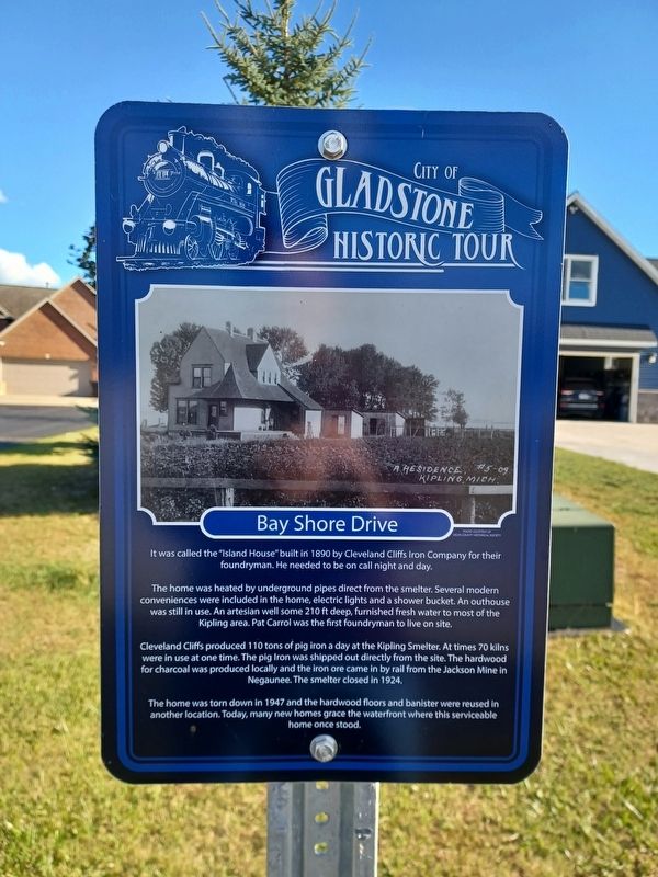
1. Bay Shore Drive Marker
It was called "Island House" built in 1890 by Cleveland Cliffs Iron Company for their foundryman. He needed to be on call night and day.
The home was heated by underground pipes direct from the smelter. Several modern conveniences were included in the home, electric lights and a shower bucket. An outhouse was still in use. An artesian well some 210 ft deep, furnished fresh water to most of the Kipling area. Pat Carrol was the first foundryman to live on site.
Cleveland Cliffs produced 110 tons of pig iron a day at the Kipling Smelter. At times 70 kilns were in use at one time. The pig iron was shipped out directly from the site. The hardwood for charcoal was produced locally and the iron ore cam in by rail from the Jackson Mine in Negaunee. The smelter closed in 1924.
The home was torn down in 1947 and the hardwood floors and banister were reused in another location. Today, many new homes grace the waterfront where this serviceable home once stood.
Erected by Gladstone Historical Committee.
Topics. This historical marker is listed in this topic list: Industry & Commerce. A significant historical year for this entry is 1890.
Location. 45° 52.115′ N,
this page online

Regionally, this marker is on the Upper Peninsula. It is also in the American Midwest. Globally, it is in North America, in the Great North Woods, on the Great Lakes, in the Western Hemisphere, in the Western World, and in the Anglosphere. Historically, it finds itself in what was once the Northwest Territory.
Other nearby markers. At least 8 other markers are within 2 miles of this marker, measured as the crow flies: 726 Delta Avenue (approx. 1½ miles away); 810 Delta Avenue (approx. 1½ miles away); 812 Delta Avenue (approx. 1½ miles away); 801 Delta Avenue (approx. 1½ miles away); 816 Delta Avenue (approx. 1½ miles away); 814 Delta Avenue (approx. 1½ miles away); 822 Delta Avenue (approx. 1½ miles away); 824 Delta Avenue (approx. 1½ miles away). Touch for a list and map of all markers in Gladstone.
Photographed by Joel Seewald, October 9, 2025
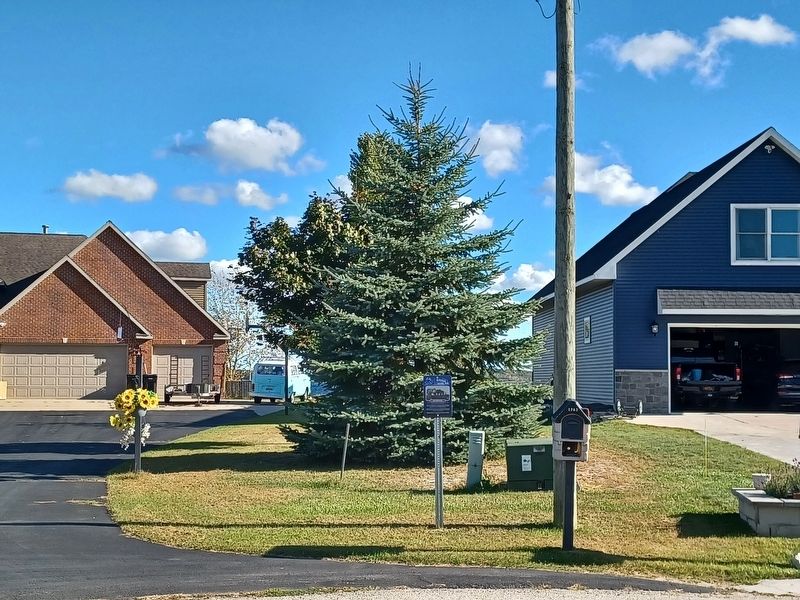
2. Bay Shore Drive Marker
Credits. This page was last revised on November 6, 2025. It was originally submitted on November 6, 2025, by Joel Seewald of Madison Heights, Michigan. This page has been viewed 68 times since then and 44 times this year. Photos: 1, 2. submitted on November 6, 2025, by Joel Seewald of Madison Heights, Michigan.
