Merrick in Nassau County, New York — The American Northeast (Mid-Atlantic)
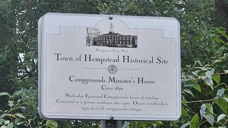
Campgrounds Minister’s House
Circa 1870
| — | Town of Hempstead Historical Site | — |
Photographed by Ian Lefkowitz, October 26, 2025
1. Campgrounds Minister’s House Marker
Town of Hempstead parks and Recreation website entry
Click for more information.
Click for more information.
Topics. This historical marker is listed in these topic lists: Architecture • Religion & Religious Structures.
Location. 40° 40.743′ N, 73° 33.25′ W. Marker is in Merrick, New York, in Nassau County. It is at the intersection of Wesley Avenue and Central Avenue, on the right when traveling east on Wesley Avenue. Touch for map. Marker is at or near this postal address: 2 Wesley Avenue, Merrick NY 11566, United States of America. Touch for directions.

Regionally, this marker is in the New York City Metropolitan Area and on Long Island. It is also in the American Northeast, in the Mid-Atlantic, and on the Eastern Seaboard. Globally, it is in the North Atlantic Region, North America, the Western Hemisphere, the Western World, and the Anglosphere. Historically, it finds itself in what was once New Netherland and also one of the original Thirteen Colonies.
Other nearby markers. At least 8 other markers are within
this page online

Photographed by Ian Lefkowitz, October 26, 2025
2. Campgrounds Minister’s House
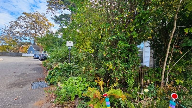
The minister's house, now a private residence.
Photographed by Ian Lefkowitz, October 26, 2025
3. Campgrounds Minister’s House Marker - Street View
Credits. This page was last revised on January 26, 2026. It was originally submitted on November 8, 2025, by Ian Lefkowitz of New York, New York. This page has been viewed 84 times since then and 40 times this year. Photos: 1, 2, 3. submitted on November 8, 2025, by Ian Lefkowitz of New York, New York. • Andrew Ruppenstein was the editor who published this page.
