Brampton in Peel Region, Ontario — Central Canada (North America)
Brampton Cenotaph
Photographed by Tim Boyd, November 2, 2025
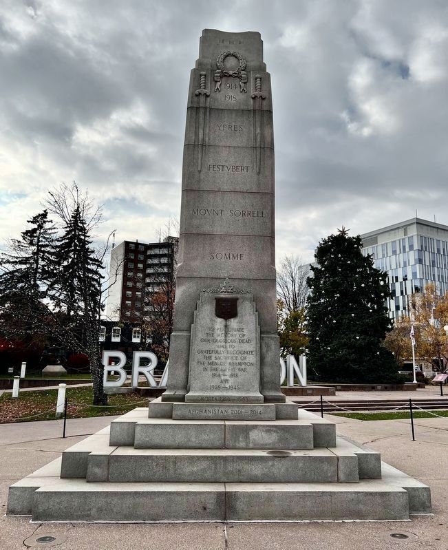
1. Brampton Cenotaph
East side
[east side]
1914
1918
Ypres
Ferstubert
Mount Sorrell
Somme
To perpetuate the memory of our Glorius Dead and to
Gratefully recognize the scarifice of the men of Brampton in the Great War
1914-1918
And
1939-1945
Korea 1950-1953
Afghanistan 2001-2014
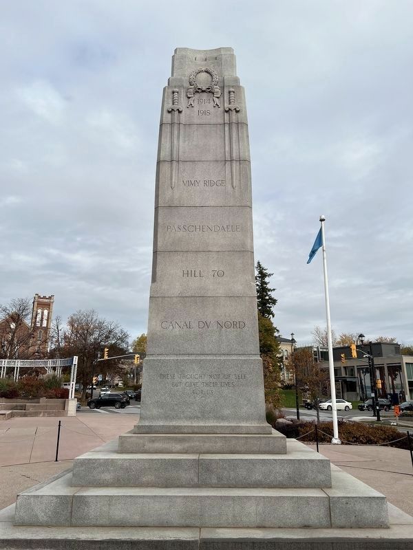
[west side]
Vimy Ridge
Passchendaele
Hill 70
Canal du Nord
These thought not of self
But gave their lives
For us
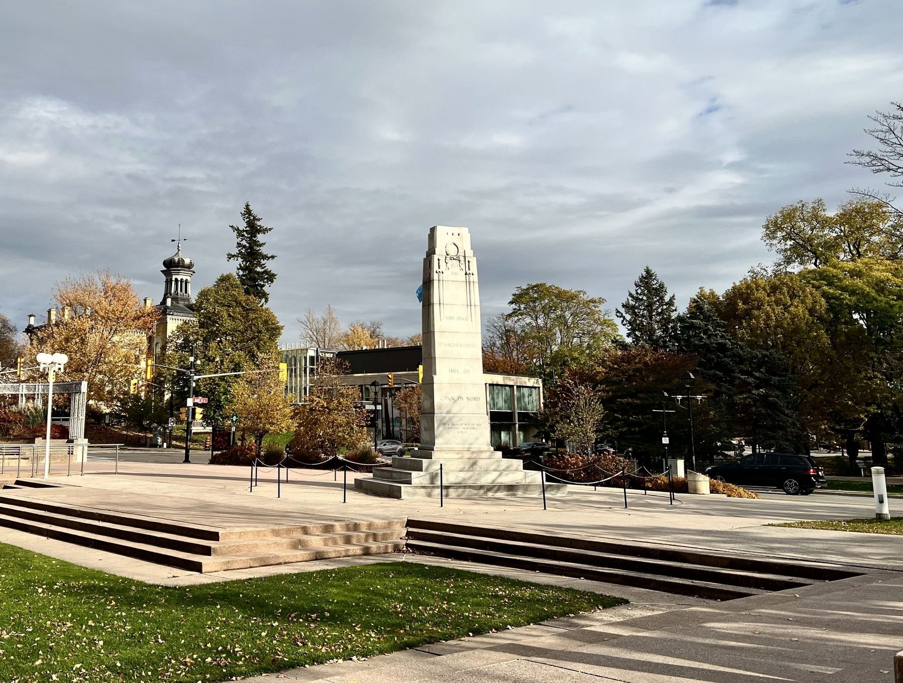
[north side]
Detroit
Niagara
Cambrai
Mons
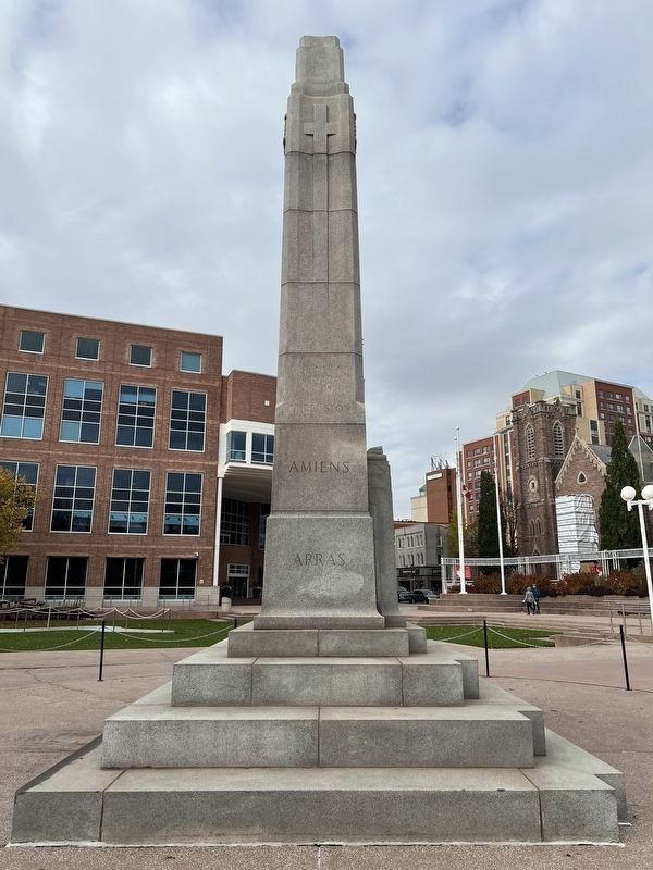
[south side]
Defense of Canada
1812-1815
Queenston
Amiens
Arras
Topics. This memorial is listed in these topic lists: War, Korean • War, World I • War, World II.
Location. 43° 41.075′ N, 79° 45.526′ W. Memorial is in Brampton, Ontario, in Peel Region. It is at the intersection of Main Street South and William Street East, on the right when traveling south on Main Street South. The cenotaph is in Ken Whillans Square. Touch for map. Memorial is in this post office area: Brampton ON L6W 2C4, Canada. Touch for directions.

Regionally, this memorial is in Greater Toronto, specifically
this page online
Other nearby markers. At least 8 other markers are within walking distance of this marker: The Etobicoke Creek (within shouting distance of this marker); Sir William James Gage (within shouting distance of this marker); Gage Park Bandstand (within shouting distance of this marker); St. Paul’s United Church (within shouting distance of this marker); Gage Park (about 120 meters away); William Perkins Bull, K.C., LL.D. / William Perkins Bull, C.R., LL.D. (about 150 meters away); The Armstrong House (about 210 meters away); 20th Regiment Halton Rifles/ 36th Peel Regiment (about 240 meters away). Touch for a list and map of all markers in Brampton.
Another marker is no longer nearby. Peel County Court House / Le Palais De Justice Du Comté de Peel
Photographed by Tim Boyd, November 2, 2025
2. Brampton Cenotaph
West side

Photographed by Tim Boyd, November 2, 2025
3. Brampton Cenotaph
North side
Photographed by Tim Boyd, November 2, 2025
4. Brampton Cenotaph
South side
Photographed by Tim Boyd, November 2, 2025
5. Brampton Cenotaph
Credits. This page was last revised on November 9, 2025. It was originally submitted on November 9, 2025, by Tim Boyd of Hamilton, Ontario. This page has been viewed 90 times since then and 65 times this year. Photos: 1, 2, 3, 4, 5. submitted on November 9, 2025, by Tim Boyd of Hamilton, Ontario. • Andrew Ruppenstein was the editor who published this page.
