Gaston in Calhoun County, South Carolina — The American South (South Atlantic)
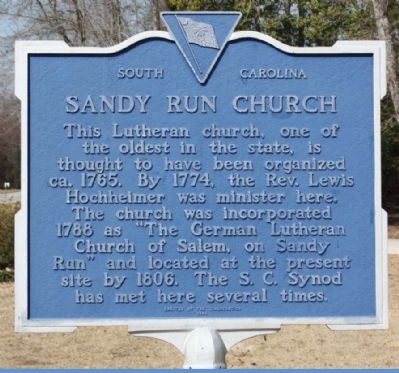
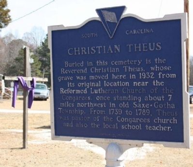
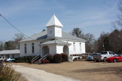
Sandy Run Church / Christian Theus
Erected 1983 by Congregation of Sandy Run Lutheran Church. (Marker Number 9-7.)
Topics. This historical marker is listed in this topic list: Churches & Religion. A significant historical year for this entry is 1765.
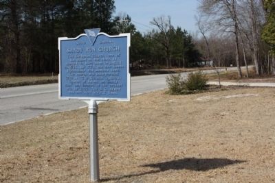
Location. 33° 48.02′ N, 80° 57.869′ W. Marker is in Gaston, South Carolina, in Calhoun County. Marker is at the intersection of Old State Road (U.S. 176) and Old Swamp Road (State Highway 9-353), on the right when traveling west on Old State Road. Touch for map. Marker is at or near this postal address: 1927 Old State Road, Gaston SC 29053, United States of America. Touch for directions.
Other nearby markers. At least 10 other markers are within 12 miles of this marker, measured as the crow flies. Sandy Run Lutheran Church (here, next to this marker); Herman Geiger (approx. 5.3 miles away); Harriet Barber House (approx. 8.2 miles away); a different marker also named Harriet Barber House (approx. 8.3 miles away); Hopkins (approx. 8.8 miles away); Minervaville (approx. 10.2 miles away); Congaree Creek Earthworks (approx. 10.4 miles away); William Earle Berne Beltway (approx. 10˝ miles away); African-American Heroes of the 371st Regiment (approx. 11 miles away); Camp Moore (approx. 11.1 miles away).
Also see . . . Find a Grave: Sandy Run Lutheran Church. 1927 Old State Road, Highway 176, Calhoun County, South Carolina. (Submitted on February 10, 2011, by Brian Scott of Anderson, South Carolina.)
Credits. This page was last revised on October 21, 2020. It was originally submitted on March 14, 2010, by Mike Stroud of Bluffton, South Carolina. This page has been viewed 1,875 times since then and 38 times this year. Last updated on March 20, 2010, by Mike Stroud of Bluffton, South Carolina. Photos: 1, 2, 3, 4. submitted on March 14, 2010, by Mike Stroud of Bluffton, South Carolina. • Syd Whittle was the editor who published this page.


