St. Joseph in Buchanan County, Missouri — The American Midwest (Upper Plains)
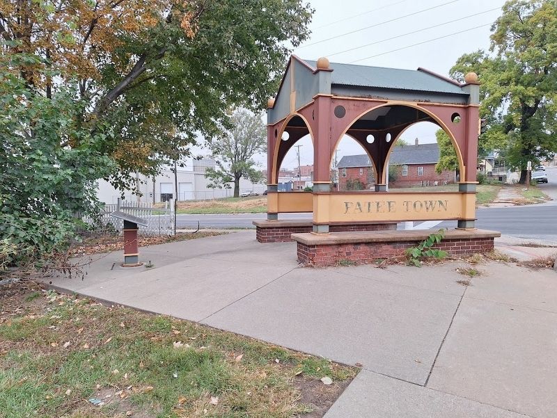
Patee Town
Photographed by Jason Voigt, October 27, 2025
1. Patee Town Marker
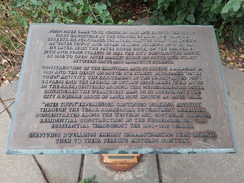
John Patee came to St. Joseph in 1845 and opened the city's first drugstore at the corner of of Main and Francis Streets. He purchased 320 acres, platted what was known as "Patee Town" and began selling building lots in 1849. He later built the Patee House Hotel on the corner of 12th and Penn Streets in 1856. The city contributed money in 1860 to open Patee Market House on South 10th Street between Olive and Lafayette Streets.
Construction of the Hannibal and St. Joseph Railroad in 1859 and the depot on South 8th Street increased "Patee Town" activity. The excitement of the short-lived Pony Express and the legend of outlaw Jesse James, (who lived in the area) centered around this neighborhood. Patee, considered the wealthiest man in St. Joseph, gave the city a square block of land. now known as Patee Park.
"Patee Town" experienced continued building activity through the years. Commercial development remained concentrated along the western and southern fringes. Residential construction in the neighborhood was substantial throughout the 1890-1915 period.
Surviving dwellings exhibit characteristics that relate them
this page online
Topics. This historical marker is listed in these topic lists: Animals • Communications • Railroads & Streetcars • Settlements & Settlers. A significant historical year for this entry is 1845.
Location. 39° 45.739′ N, 94° 50.973′ W. Marker is in St. Joseph, Missouri, in Buchanan County. It is at the intersection of South 9th Street (Business Interstate 29) and Messanie Street, on the right when traveling south on South 9th Street. 9th Street is one-way. Touch for map. Marker is at or near this postal address: 606 S 9th St, Saint Joseph MO 64501, United States of America. Touch for directions.

Regionally, this marker is in North Missouri. It is also in the American Midwest, in the Lewis & Clark Corridor, and in the Corn Belt. Globally, it is in North America, the Western Hemisphere, the Western World, and the Anglosphere. Historically, it finds itself in what was once the territory of the Mississippian Culture, the Louisiana Purchase, and the Antebellum South.
Other nearby markers. At least 8 other markers are within walking distance of this marker: Post Office (approx. ¼ mile
Photographed by Jason Voigt, October 27, 2025
2. Patee Town Marker
Also see . . .
1. Patee Town Historic District on Wikipedia. (Submitted on November 10, 2025, by Jason Voigt of Glen Carbon, Illinois.)
2. Explore St. Joseph. Tourism website for the city (Submitted on November 10, 2025, by Jason Voigt of Glen Carbon, Illinois.)
Additional commentary.
1. Duplicate marker?
Someone posted a marker that may have been (or still is) at the intersection of 10th and Penn Streets (near the Pony Express stables). Since the recent shots of Google Maps show both markers, I think it is safe to assume these are two different ones.
— Submitted November 10, 2025, by Jason Voigt of Glen Carbon, Illinois.

Photographed by Jason Voigt, October 27, 2025
3. Patee Town Marker
Credits. This page was last revised on November 10, 2025. It was originally submitted on November 10, 2025, by Jason Voigt of Glen Carbon, Illinois. This page has been viewed 78 times since then and 43 times this year. Photos: 1, 2, 3. submitted on November 10, 2025, by Jason Voigt of Glen Carbon, Illinois.
