Milford Mine Memorial Park near Wolford in Crow Wing County, Minnesota — The American Midwest (Upper Plains)
Repair Shop
| — | Milford Mine Memorial Park | — |
Photographed by McGhiever, June 27, 2025
1. Repair Shop Marker
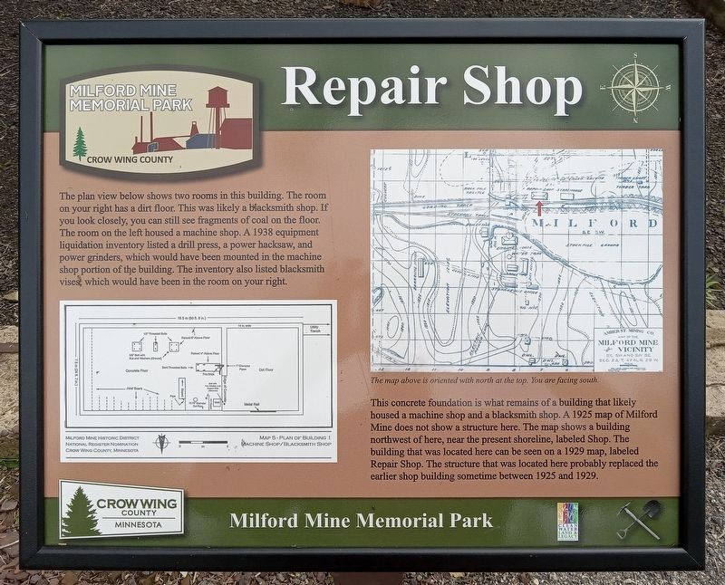
The plan view below shows two rooms in this building. The room on your right has a dirt floor. This was likely a blacksmith shop. If you look closely, you can steel see fragments of coal on the floor. The room on the left housed a machine shop. A 1938 equipment liquidation inventory listed a drill press, a power hacksaw, and power grinders, which would have been mounted in the machine shop portion of the building. The inventory also listed blacksmith vises, which would have been in the room on your right.
The map above is oriented with north at the top. You are facing south.
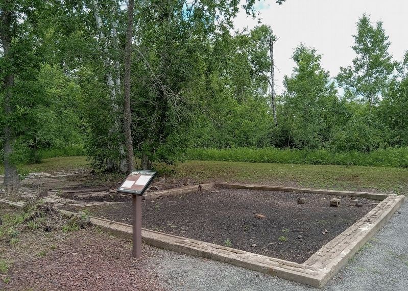
This concrete foundation is what remains of a building that likely housed a machine shop and a blacksmith shop. A 1925 map of Milford Mine does not show a structure here. The map shows a building northwest of here, near the present shoreline, labeled Shop. The building that was located here can be seen on a 1929 map, labeled Repair Shop. The structure that was located here probably replaced the earlier shop building sometime between 1925 and 1929.
Erected by Crow Wing County.
Topics. This historical marker is listed in this topic
this page online
Location. 46° 32.103′ N, 93° 58.322′ W. Marker is near Wolford, Minnesota, in Crow Wing County. It is in Milford Mine Memorial Park. It can be reached from Milford Lake Drive. The marker is a short distance east of trail intersection 2. Touch for map. Marker is in this post office area: Crosby MN 56441, United States of America. Touch for directions.

Regionally, this marker is in the Northland. It is also in the American Midwest, in the Corn Belt, and in the Great River Road Region. Globally, it is in North America, the Great North Woods, the Western Hemisphere, the Western World, and the Anglosphere. Historically, it finds itself in what was once Rupert’s Land, the territory of the Mississippian Culture, and the Northwest Territory.
Other nearby markers. At least 8 other markers are within walking distance of this marker: The Milford Mine Disaster (a few steps from this marker); Exploratory Drill Hole (a few steps from this marker); Milford Mine (a few steps from this marker); The Mine Shaft (within shouting distance of this marker); The Cuyuna Iron Range
Photographed by McGhiever, June 27, 2025
2. Repair Shop marker and foundation
Credits. This page was last revised on November 11, 2025. It was originally submitted on November 11, 2025, by McGhiever of Minneapolis, Minnesota. This page has been viewed 33 times since then and 8 times this year. Photos: 1, 2. submitted on November 11, 2025, by McGhiever of Minneapolis, Minnesota.
