
Nebraska City in Otoe County, Nebraska — The American Midwest (Upper Plains)
Nebraska City High School and Junior High School
Photographed by Cosmos Mariner, July 3, 2021
1. Nebraska City High School and Junior High School Marker
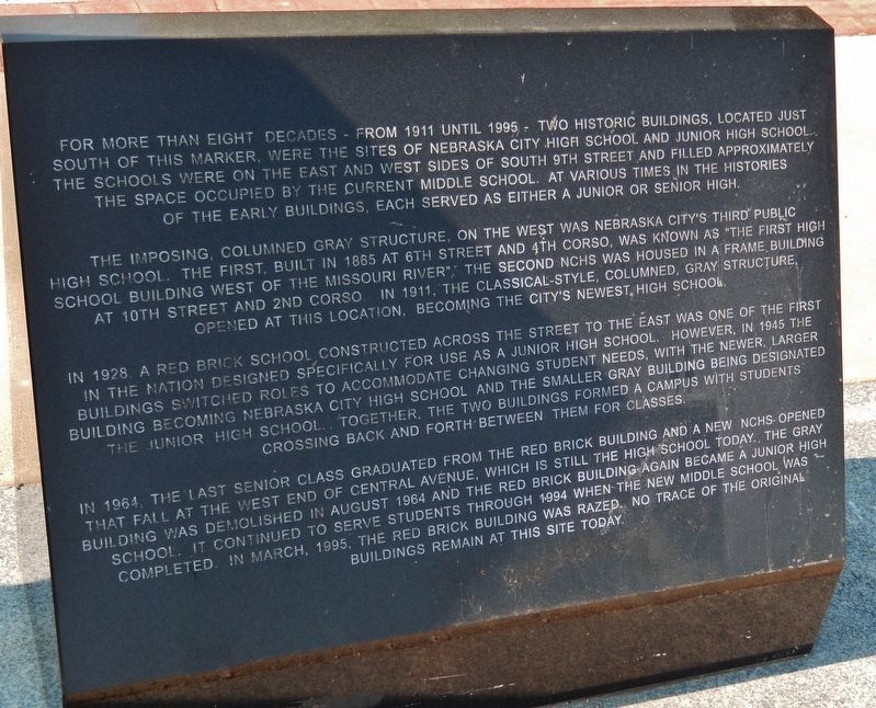
For more than eight decades — from 1911 until 1995 — two historic buildings, located just south of this marker, were the sites of Nebraska City High School and Junior High School. The schools were on the east and west sides of South 9th Street and filled approximately the space occupied by the current middle school. At various times in the histories of the early buildings, each served as either a junior or senior high.
The imposing, columned gray structure on the west was Nebraska City’s third public high school. The first, built in 1865 at 6th Street and 4th Corso, was known as “the first high school building west of the Missouri River.” The second NCHS was housed in a frame building at 10th Street and 2nd Corso. In 1911, the classical-style, columned, gray structure opened at this location, becoming the city’s newest high school.
In 1928 a red brick school constructed across the street to the east was one of the first in the nation designed specifically for use as a junior high school. However, in 1945 the buildings switched roles to accommodate changing student needs, with the newer, larger building becoming Nebraska
this page online
In 1964, the last senior high school class graduated from the red brick building and a new NCHS opened that fall at the west end of Central Avenue, which is still the high school today. The gray building was demolished in August 1964 and the red brick building again became a junior high school. It continued to serve students through 1994 when the new middle school was completed. In March, 1995, the red brick building was razed. No trace of the original buildings remain at this site today.
Topics. This historical marker is listed in these topic lists: Architecture • Education. A significant historical year for this entry is 1911.
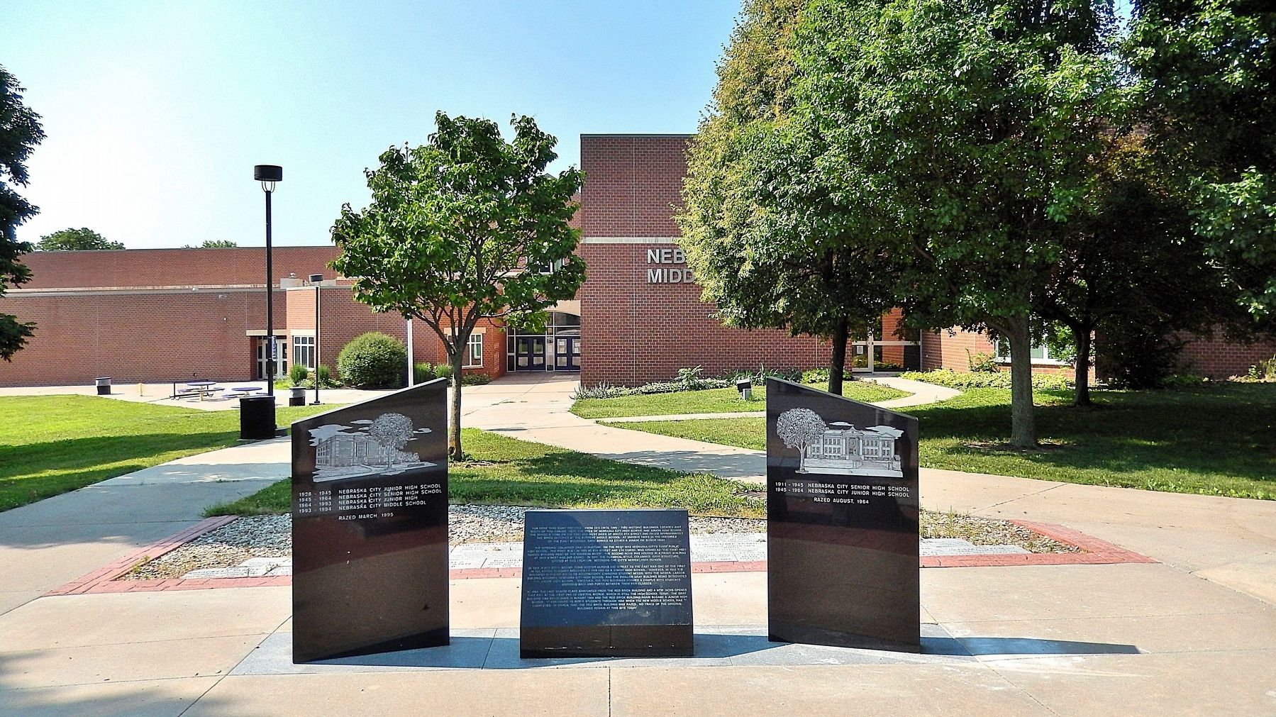
Location. 40° 40.525′ N, 95° 51.401′ W. Marker is in Nebraska City, Nebraska, in Otoe County. It is at the intersection of 1st Corso and South 9th Street, on the right when traveling east on 1st Corso. The marker is located alongside the entrance driveway on the south side of Nebraska City Middle School. Touch for map.

Photographed by Cosmos Mariner, July 3, 2021
2. Nebraska City High School and Junior High School Marker (left/east panel detail)
1928-1945 Nebraska City Junior High School
1945-1964 Nebraska City Senior High School
1964-1993 Nebraska City Junior High
1993-1994 Nebraska City Middle School
Razed March, 1995
1945-1964 Nebraska City Senior High School
1964-1993 Nebraska City Junior High
1993-1994 Nebraska City Middle School
Razed March, 1995

Regionally, this marker is in Eastern Nebraska. It is also in the American Midwest, in the Lewis & Clark Corridor, in the Corn Belt, and on the prairies. Globally, it is in North America, the Western Hemisphere, the Western World, and the Anglosphere. Historically, it finds itself in what was once the Louisiana Purchase.
Other nearby markers. At least 8 other markers are within walking distance of this marker: St. Mary's (within shouting distance of this marker); Grand Army of the Republic Memorial Hall (within shouting distance of this marker); Fletcher Neal (about 400 feet away, measured in a direct line); Otoe County Courthouse (about 700 feet away); Site of the Overland Trail (about 700 feet away); Pioneer Masons of Nebraska Territory (approx. 0.2 miles away); First United Methodist Church Original 1855 Wall (approx. 0.2 miles away); Mother Church of Methodism in Nebraska (approx. 0.2 miles away). Touch for a list and map of all markers in Nebraska City.

Photographed by Cosmos Mariner, July 3, 2021
3. Nebraska City High School and Junior High School Marker (right/west panel detail)
1911-1945 Nebraska City Senior High School
1945-1964 Nebraska City Junior High School
Razed August, 1964
1945-1964 Nebraska City Junior High School
Razed August, 1964

Photographed by Cosmos Mariner, July 3, 2021
4. Nebraska City High School and Junior High School Marker (left/east panel)

Photographed by Cosmos Mariner, July 3, 2021
5. Nebraska City High School and Junior High School Marker (right/west panel)
Photographed by Cosmos Mariner, July 3, 2021
6. Nebraska City High School and Junior High School Marker
Looking south from 1st Corso. Present-day Nebraska City Middle School is in the background.
Credits. This page was last revised on November 11, 2025. It was originally submitted on November 11, 2025, by Cosmos Mariner of Cape Canaveral, Florida. This page has been viewed 98 times since then and 69 times this year. Photos: 1, 2, 3, 4, 5, 6. submitted on November 11, 2025, by Cosmos Mariner of Cape Canaveral, Florida.
