Millersville in Anne Arundel County, Maryland — The American Northeast (Mid-Atlantic)
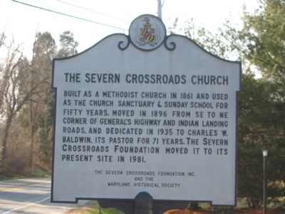
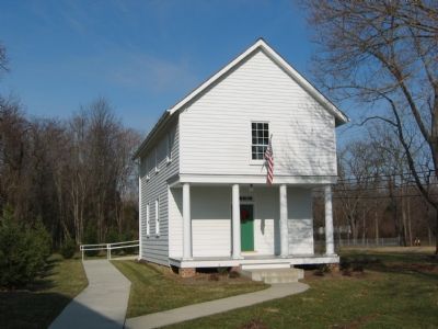
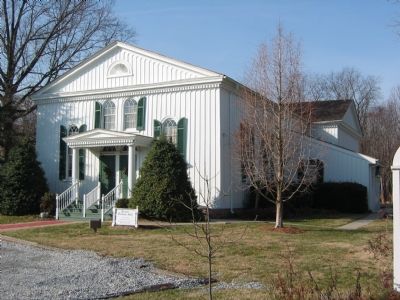
The Severn Crossroads Church
Erected by The Severn Crossroads Foundation, Maryland Historical Society.
Topics. This historical marker is listed in this topic list: Churches & Religion. A significant historical year for this entry is 1861.
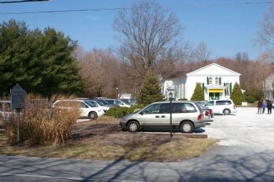
Location. 39° 3.579′ N, 76° 37.66′ W. Marker is in Millersville, Maryland, in Anne Arundel County. Marker is at the intersection of Generals Highway (Maryland Route 178) and Indian Landing Road, on the right when traveling south on Generals Highway. Touch for map. Marker is in this post office area: Millersville MD 21108, United States of America. Touch for directions.
Other nearby markers. At least 8 other markers are within 2 miles of this marker, measured as the crow flies. Baldwin Memorial United Methodist Church (a few steps from this marker); Old Stage-Coach Road (a few steps from this marker); Charles W. Baldwin Hall (within shouting distance of this marker); Anne Arundel Academy (approx. 0.6 miles away); Count de Rochambeau’s (approx. one mile away); Chapel of Ease (approx. 1.3 miles away); Shipley's Choice (approx. 1.4 miles away); Widow Ramsey’s Tavern (approx. 1.4 miles away). Touch for a list and map of all markers in Millersville.
Also see . . . Baldwin Hall. (Submitted on October 9, 2007.)
Credits. This page was last revised on August 5, 2021. It was originally submitted on October 9, 2007, by F. Robby of Baltimore, Maryland. This page has been viewed 2,764 times since then and 42 times this year. Photos: 1. submitted on October 9, 2007, by F. Robby of Baltimore, Maryland. 2. submitted on March 14, 2008, by Christopher Busta-Peck of Shaker Heights, Ohio. 3, 4. submitted on October 9, 2007, by F. Robby of Baltimore, Maryland. • J. J. Prats was the editor who published this page.


