Beecher Falls in Essex County, Vermont — The American Northeast (New England)
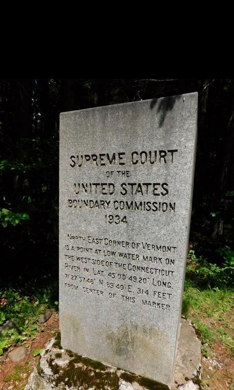
Supreme Court of the United States Boundary Commission
1934
Photographed by Jimmy Emerson, 2017
1. Supreme Court of the United States Boundary Commission Marker
Northeast corner of Vermont is a point at low water mark on the West side of the Connecticut River in Lat. 45 00’ 49.20” Long. 71 27’ 57.48” N 89 40’ E. 314 feet from center of this marker.
Erected 1934.
Topics. This historical marker is listed in this topic list: Political Subdivisions. A significant historical year for this entry is 1934.
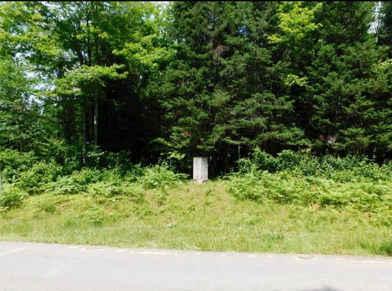
Location. 45° 0.818′ N, 71° 27.988′ W. Marker is in Beecher Falls, Vermont, in Essex County. It can be reached from River Road (U.S. 3) 1.3 miles north of West Road, on the left when traveling north. Touch for map. Marker is in this post office area: Beecher Falls VT 05902, United States of America. Touch for directions.

Regionally, this marker is in Vermont’s Connecticut River Valley and in the Northeast Kingdom. It is also in the American Northeast and in New England. Globally, it is in North America, the Great North Woods, the Western Hemisphere, the Western World, and the Anglosphere. Historically, it finds itself in what was once the Viceroyalty of New France and also the Vermont Republic.
Other nearby markers. At least 8 other markers are within 5 miles of this marker, measured as the crow flies: 45th Parallel (approx. 2½ miles away in New Hampshire); a different marker also named 45th Parallel (approx. 3.1 miles away in New Hampshire); Metallak (approx. 3.1 miles away in New Hampshire); Stewartstown Honor Roll (approx. 3½ miles away in New Hampshire); Canaan Civil War Memorial (approx. 3.7 miles away); Canaan Vermont War Memorials (approx. 3.7 miles away); Republic of Indian Stream (approx. 4.7 miles away in New Hampshire); Pittsburg Honor Roll (approx. 4.7 miles away in New Hampshire).
Also see . . . Supreme Court of the United States October Term 1936. Report of the special commissioner appointed to locate and mark the boundary
this page online
Photographed by Jimmy Emerson, 2017
2. Supreme Court of the United States Boundary Commission Marker
Credits. This page was last revised on November 16, 2025. It was originally submitted on November 12, 2025, by Jimmy Emerson of Dalton, Georgia. This page has been viewed 51 times since then and 18 times this year. Photos: 1, 2. submitted on November 12, 2025, by Jimmy Emerson of Dalton, Georgia. • Michael Herrick was the editor who published this page.
