Near Goodwater in Clay County, Alabama — The American South (East South Central)
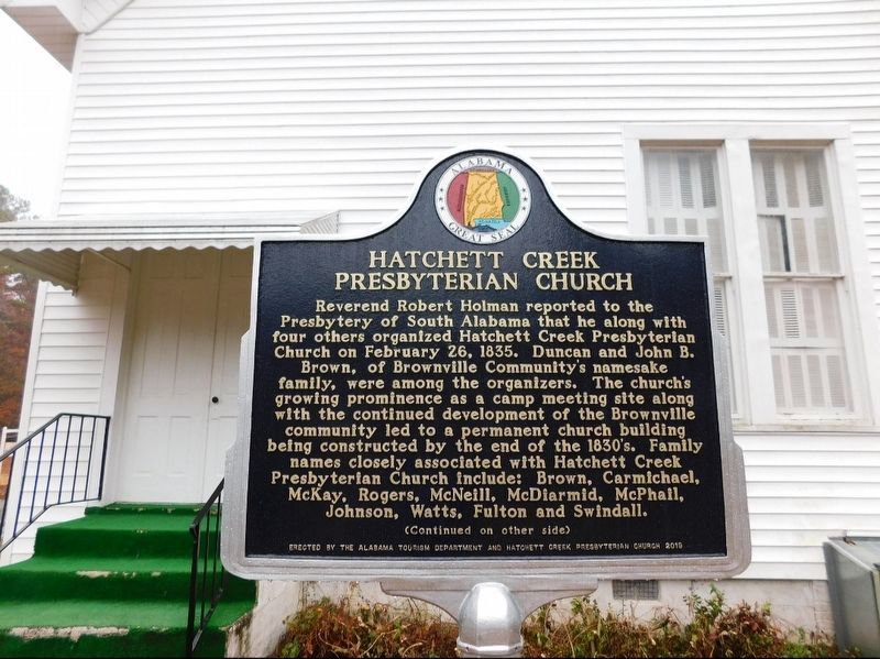
Hatchett Creek Presbyterian Church
Photographed by Jimmy Emerson, Oct 2019
1. Hatchett Creek Presbyterian Church Marker
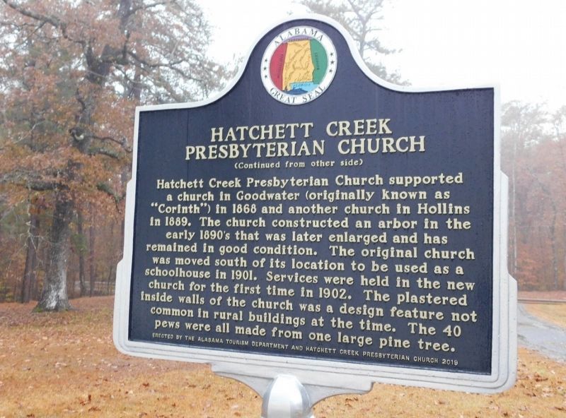
Reverse Side
Hatchett Creek Presbyterian Church supported a church in Goodwater (originally known as "Corinth") in 1868 and another church in Hollins in 1889. The church constructed an arbor in the early 1890's that was later enlarged and has remained in good condition. The original church was moved south of its location to be used as a schoolhouse in 1901. Services were held in the new church for the first time in 1902. The plastered inside walls of the church was
this page online
Erected 2019 by Alabama Tourism Department and Hatchett Creek Presbyterian Church.
Topics. This historical marker is listed in this topic list: Religion & Religious Structures. A significant historical year for this entry is 1835.
Location. 33° 7.526′ N, 86° 2.844′ W. Marker is near Goodwater, Alabama, in Clay County. It is on County Road 7 half a mile north of Partridge Creek Road, on the right when traveling north. Touch for map. Marker is at or near this postal address: 13810 CR 7, Goodwater AL 35072, United States of America. Touch for directions.

Regionally, this marker is in East Alabama. It is also in the American South and specifically in the Deep South. Globally, it is in North America, a Gulf of Mexico state, the Western Hemisphere, the Western World, and the Anglosphere. Historically, it finds itself in what was once the original Cherokee Nation, the territory of the Mississippian Culture, one of the Confederate States of America, and the Antebellum South.
Other nearby markers. At least 8 other
Photographed by Jimmy Emerson, Oct 2019
2. Hatchett Creek Presbyterian Church Marker - Reverse Side
Photographed by Jimmy Emerson, Oct 2019
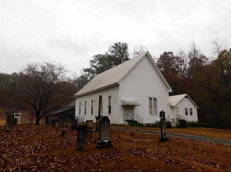
3. Hatchett Creek Presbyterian Church Marker
Credits. This page was last revised on November 15, 2025. It was originally submitted on November 15, 2025, by Jimmy Emerson of Dalton, Georgia. This page has been viewed 74 times since then and 45 times this year. Photos: 1, 2, 3. submitted on November 15, 2025, by Jimmy Emerson of Dalton, Georgia. • James Hulse was the editor who published this page.
