Mantorville in Dodge County, Minnesota — The American Midwest (Upper Plains)
1869 School Bell and Cornerstone
Photographed by McGhiever, October 3, 2025
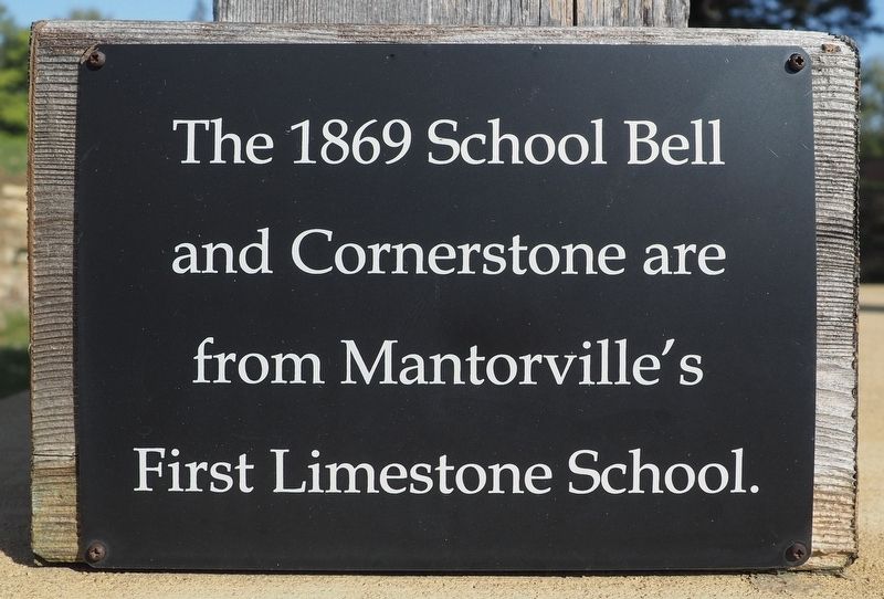
1. 1869 School Bell and Cornerstone Marker
The 1869 School Bell and Cornerstone are from Mantorville's First Limestone School.
Topics. This historical marker is listed in this topic list: Education. A significant historical year for this entry is 1869.
Location. 44° 4.206′ N, 92° 45.383′ W. Marker is in Mantorville, Minnesota, in Dodge County. It is at the intersection of Clay Street and 8th Street W., on the right when traveling north on Clay Street. Touch for map. Marker is at or near this postal address: 800 Clay Street, Mantorville MN 55955, United States of America. Touch for directions.

Regionally, this marker is in Southeast Minnesota and in Greater Rochester. It is also in the American Midwest and in the Corn Belt. Globally, it is in North America, the Western Hemisphere, the Western World, and the Anglosphere. Historically, it finds itself in what was once Rupert’s Land and also the territory of the Mississippian Culture.
Other nearby markers. At least 8 other markers are within walking distance of this marker: Normal School (a few steps from this marker); Gold Star Families Memorial Monument (about 400 feet away, measured in a direct line);
this page online

Photographed by McGhiever, October 3, 2025
2. 1869 School Bell and Cornerstone marker on the left post of the belfry

Photographed by McGhiever, October 3, 2025
3. The Mantorville Normal School (left) and Bell Tower (right)
Credits. This page was last revised on November 17, 2025. It was originally submitted on November 17, 2025, by McGhiever of Minneapolis, Minnesota. This page has been viewed 56 times since then and 32 times this year. Photos: 1, 2. submitted on November 17, 2025, by McGhiever of Minneapolis, Minnesota. 3. submitted on November 9, 2025, by McGhiever of Minneapolis, Minnesota.
