
Lockport in St. Andrews Municipality, Manitoba — Canada’s Prairie Region (North America)
Duncan McRae
1813-1898

Photographed by Jimmy Emerson, 2013
1. Duncan McRae Marker
Later McRae helped to build several stone churches along the Red River, landmarks which stand today as a tribute to his craft. These include St Andrews-on-the-Red where McRae suffered a serious accident Old Kildonan,Little Britain and St Peter's Dynevor. He also helped to construct the rectories at St. Andrew's and Dynevor and several other imposing private dwellings, such as "Twin Oaks", a Georgian style mansion which served as a boarding school for young ladies.
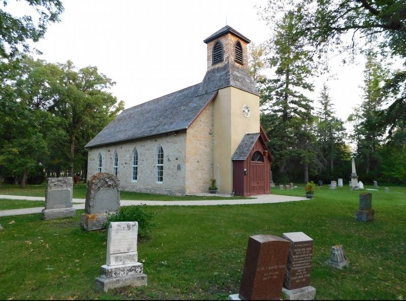
The pioneer stonemason is buried in his home parish of Little Britain.
Erected by Historic Sites Advisory Board of Manitoba.
Topics. This historical marker is listed in these topic lists: Architecture • Religion & Religious Structures. A significant historical year for this entry is 1837.
Location. 50° 6.176′ N, 96° 56.386′ W. Marker is
this page online

Regionally, this marker is in Manitoba’s Historic Winnipeg. It is also in the Prairies. Globally, it is in North America, the Western Hemisphere, the Western World, and the Anglosphere. Historically, it finds itself in what was once a British colony, the Viceroyalty of New France, and Rupert’s Land.
Other nearby markers. At least 8 other markers are within 27 kilometers of this marker, measured as the crow flies: St. Andrews Caméré Curtain Dam (approx. 2.3 kilometers away); St. Andrews Anglican Church (approx. 4.8 kilometers away); St. Andrew’s Rectory (approx. 4.9 kilometers away); Twin Oaks (approx. 6.3 kilometers away); St. Paul's Middlechurch (approx. 16.3 kilometers away); Dr. Louis Slotin (1910 - 1946) (approx. 23.6 kilometers away); Nicolaus Copernicus / Mikołaj Kopernik (approx. 26.6
Photographed by Jimmy Emerson, 2013
2. Little Britain United Church
Marker is behind the church to the left .
Credits. This page was last revised on November 18, 2025. It was originally submitted on November 18, 2025, by Jimmy Emerson of Dalton, Georgia. This page has been viewed 57 times since then and 27 times this year. Photos: 1, 2. submitted on November 18, 2025, by Jimmy Emerson of Dalton, Georgia. • Andrew Ruppenstein was the editor who published this page.
