Vero Beach in Indian River County, Florida — The American South (South Atlantic)
U.S. Naval Station, Vero Beach
World War II
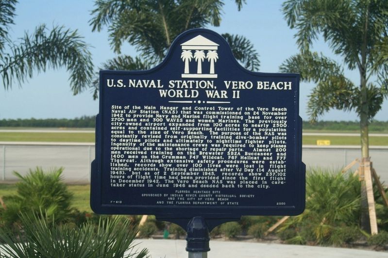
Photographed by Tim Fillmon, September 25, 2008
1. U.S. Naval Station Vero Beach World War II Marker
Site of the Main Hanger and Control Tower of the Vero Beach Naval Air Station (NAS) that was commissioned on 24 November 1942 to provide Navy and Marine flight training base for over 2700 men 300 WAVES and women Marines. The previously city-owned airport expanded from 100 acres to 2500 acres and contained self-supporting facilities for a population equal to the size of Vero Beach. The purpose of the NAS was constantly revised from originally training dive-bomber pilots to daytime pilots and ultimately to nighttime fighter pilots. Ingenuity of the maintenance crews was required to keep planes operational due to the shortage of repair parts. Almost 200 men received training on the Brewster SB2A Buccaneer and 1400 men on the Grumman F4F Wildcat, F6F Hellcat, F7F Tigercat. Although extensive safety procedures were established, records show over 100 lives were lost in flight training accidents. Training diminished after VJ Day (14 August 1945), but as of 2 September 1945, records show 237,102 hours of flight time had been provided since the first flight in December 1942. The Vero Beach NAS was placed in caretaker status in June
this page online
A Florida Heritage Site
Erected 2000 by Indian River County Historical Society and the City of Vero Beach and the Florida Department of State. (Marker Number F-418.)
Topics. This historical marker is listed in these topic lists: Air & Space • War, World II. A significant historical date for this entry is November 24, 1942.
Location. 27° 39.104′ N, 80° 25.06′ W. Marker is in Vero Beach, Florida, in Indian River County. It can be reached from Cherokee Drive 0.2 miles east of Flight Safety Drive. Marker is located in a landscaped area behind the terminal of Vero Beach Regional Airport. Touch for map. Marker is at or near this postal address: 3400 Cherokee Drive, Vero Beach FL 32960, United States of America. Touch for directions.

Regionally, this marker is in the Space Coast. It is also in the American South and on the Eastern Seaboard. Globally, it is in the North Atlantic Region, North America, a Gulf of Mexico state, the Western Hemisphere, the Western World, and the Anglosphere. Historically, it finds itself in what was once New Spain, the territory of the Mississippian Culture, one of the Confederate States of America, and the Antebellum South.
Other nearby markers. At least 8 other markers are within 2 miles of this marker, measured as the crow flies: Baseball and Dodgertown (approx. 0.6 miles away); Gifford School / Hosie Shumann Park (approx. 1.2 miles away); Osceola Park Historic Residential District (approx. 1.3 miles away); Vero Beach Railway Station (approx. 1.3 miles away); City of Vero Beach (approx. 1.3 miles away); The Woman’s Club of Vero Beach Florida (approx. 1.3 miles away); Courthouse Executive Center (approx. 1.4 miles away); Community Building (approx. 1.4 miles away). Touch for a list and map of all markers in Vero Beach.
Also see . . . Vero Beach Regional Airport. (Submitted on November 20, 2025, by Tim Fillmon of Webster, Florida.)
Credits. This page was last revised on November 20, 2025. It was originally submitted on November 20, 2025, by Tim Fillmon of Webster, Florida. This page has been viewed 100 times since then and 59 times this year. Photo 1. submitted on November 20, 2025, by Tim Fillmon of Webster, Florida.
Editor’s want-list for this marker. A photo of the marker with surrounding area behind terminal. • Can you help?
