
Dublin in Pulaski County, Virginia — The American South (Mid-Atlantic)
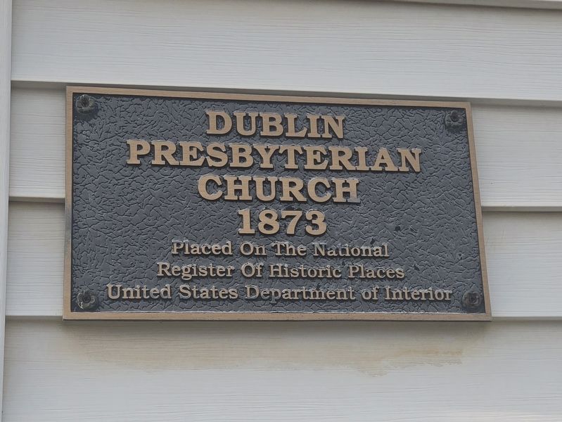
Dublin Presbyterian Church
1873
Photographed by Mark Parker, November 20, 2025
1. Dublin Presbyterian Church Marker
Register of Historic Places
United States Department of Interior
Topics. This historical marker is listed in these topic lists: Architecture • Religion & Religious Structures. A significant historical year for this entry is 1873.
Location. 37° 6.436′ N, 80° 41.034′ W. Marker is in Dublin, Virginia, in Pulaski County. It is at the intersection of Church Street and Glendy Avenue, on the right when traveling west on Church Street. The marker is to the right of the sanctuary entrance. Touch for map. Marker is at or near this postal address: 409 Church St, Dublin VA 24084, United States of America. Touch for directions.

Regionally, this marker is in Southwest Virginia, in the Blue Ridge Highlands, and in the New River Gorge. It is also in the American South, specifically in the Upper South, in Appalachia, and specifically in Southern Appalachia. Globally, it is in North America, the Western Hemisphere, the Western World, and the Anglosphere. Historically, it finds itself in what was once the territory of the Mississippian Culture, one of the original Thirteen Colonies, one of the
this page online
Other nearby markers. At least 8 other markers are within 2 miles of this marker, measured as the crow flies: New River Ordnance Plant (approx. 0.7 miles away); American Veterans (approx. 0.7 miles away); World War II Home Front (approx. one mile away); New Dublin Presbyterian Church (approx. 1.3 miles away); Trollingers' Cave (approx. 1.6 miles away); Battle of Cloyd's Mountain (approx. 1.6 miles away); Battle of Cloyd's Farm (approx. 1.6 miles away); Rearguard Action (approx. 1.6 miles away). Touch for a list and map of all markers in Dublin.
More about this marker. Dublin Presbyterian Church is a contributing building to the Dublin Historic District (#92001369)
Also see . . . Dublin Historic District National Register of Historic Places Nomination Form. This form was prepared on May 1, 1992 by Roanoke Regional Preservation Office staff (Dr. John R. Kern, Director-Historian, and Leslie A. Giles, Architectural Historian) of the Virginia Department of Historic Resources. A statement of significance for the historic district can be found on page 45:
TheDublin Historic District includes the historic commercial and residential areas of the town of Dublin, i n Pulaski County, Virginia. In rural nineteenth-century Pulaski County, Dublin served as a hub for the region's transportation networks. Due to the strategic location of it s railroad depot, on the Virginia and Tennessee's main line at the Giles and Pulaski Turnpike crossing, Dublin became an important center of commerce and transportation. As such, it also served as an important Confederate Army supply link during the Civil War, over which the Battle of Cloyd's Mountain was fought in 1864. Economic recovery following the Civil War was slow but sustained in Dublin. Having received it s town charter from the General Assembly i n 1871, Dublin expanded its commercial and residential areas throughout the lat e nineteenth and earl y twentieth centuries. This commercial and residential growth also led to the establishment of religious , educational, and social institutions within the town. Dublin maintained its role as a service - and transportation-oriented community to the surrounding region throughout much of the twentieth century,Photographed by Mark Parker, November 20, 20252. Dublin Presbyterian Church sanctuary entrance. Marker is to the right.due to the presence of Norfolk and Western Railroad's passenger and freight depot, in addition to the continued routing of U.S. 11 through town. Dublin's historic commercial and residential areas extend mostly along the town's earliest roads, outward from the important Giles Avenue [Giles and Pulaski Turnpike] and Main Street [Old Route 11] intersection , which lies immediately west of the railroad depot. The historic district's earliest building s date to the mid-nineteenth century, but the majority of contributing properties date from the late-nineteenth- and early-twentieth-century periods; they reflect the commercial success and ongoing development of the town since it s founding.Photographed by Mark Parker, November 20, 20253. Dublin Presbyterian Church
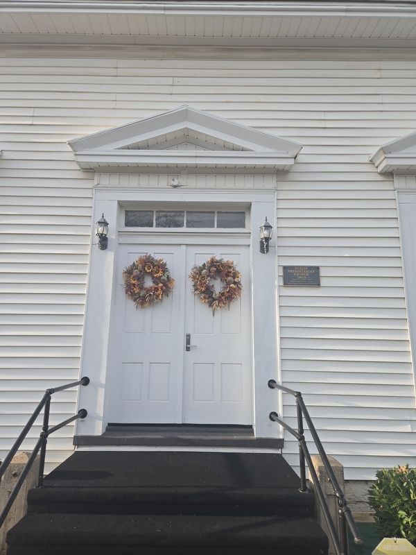

Dublin Presbyterian Church has several specific mentions throughout the form, notably this architectural description on pages 13-14:
Church Street takes its name from Dublin Presbyterian Church, which was built in the 1870s, following the organization of the local congregation in 1873. The church building is a nave-plan, frame structure with three bays on both the gabled entrance end and the longer side elevations , and includes an apse on the northside opposite the entrance. Freestanding pediment-like cornices surmount the openings on the entrance end, and a Doric/Ionic aedicule inside the sanctuary impart additional architectural character to the building. Modern siding obscures the original weatherboarding, while a three-stage Colonial Revival steeple replaced the original steeple in the early twentieth century. A one-story addition, linked to the west side of the church by a small hyphen, serves as the Sunday School annex and includes the church offices at present. The annex appears to date from the early twentieth century, and features two entrances, a single large room (with a folding partition?) inside, and a two-tier back porch (now enclosed).Photographed by Mark Parker, November 20, 20254. Dublin Presbyterian Church sign
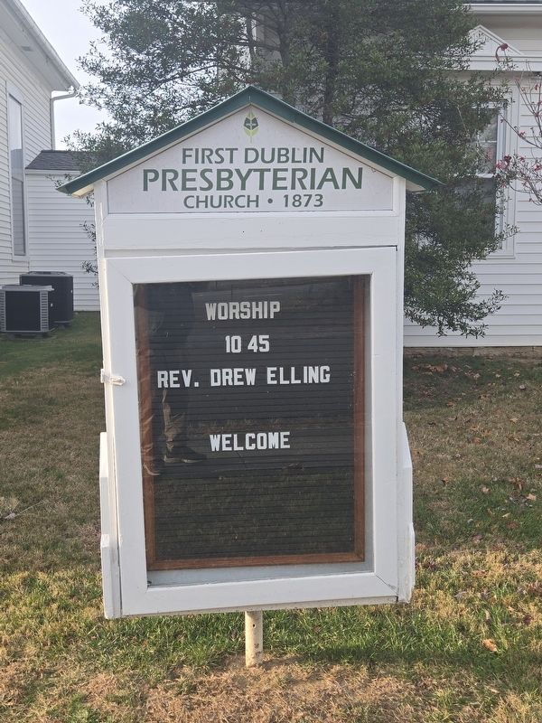
The organizing of the church (among other churches) is mentioned on page 51:
James H. Darst, John R. Dunlap, and John D. Noble served as three of the original trustees of the Dublin Presbyterian Church which was organized in 1873; the edifice at 409 Church Street was ready for worship the following year.
Additionally, an image of the church was submitted with the form and can be found on page 79. (Submitted on November 29, 2025, by Devry Becker Jones of Washington, District of Columbia.)
Credits. This page was last revised on November 29, 2025. It was originally submitted on November 20, 2025, by Mark Parker of Hickory, North Carolina. This page has been viewed 56 times since then and 25 times this year. Photos: 1, 2, 3, 4. submitted on November 20, 2025, by Mark Parker of Hickory, North Carolina. • Devry Becker Jones was the editor who published this page.
