
Rockfield in Germantown in Washington County, Wisconsin — The American Midwest (Great Lakes)
St. John Evangelical Church
Photographed by Paul F, June 3, 2010
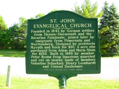
1. St. John Evangelical Church Marker
South side of double sided marker
Erected 1982 by Washington County Landmark Commission.
Topics. This historical marker is listed in these topic lists: Religion & Religious Structures • Settlements & Settlers. A significant historical year for this entry is 1843.
Location. 43° 12.385′ N, 88° 5.138′ W. Marker is in Germantown, Wisconsin, in Washington County. It is in Rockfield. It is on Donges Bay Road ¼ mile west of Fond du Lac Avenue (Wisconsin Highway 145), on the right when traveling east. Touch for map. Marker is in this post office area: Germantown WI 53022, United States of America. Touch for directions.

Regionally, this marker is in Southeast Wisconsin and in Greater Milwaukee. It is also in the American Midwest and in the Corn Belt.
this page online
Other nearby markers. At least 8 other markers are within 2 miles of this marker, measured as the crow flies: Jacob Schunk Farmhouse (approx. ¾ mile away); Milwaukee Road Depot (approx. 1.4 miles away); Barn (approx. 1.4 miles away); Miller-Davidson House (approx. 1.4 miles away); Umhoefer House (approx. 1.4 miles away); School House (approx. 1.4 miles away); Sunnyside School Bell Tower Replica (approx. 1½ miles away); Steichen House (approx. 1½ miles away).
Photographed by Paul F, June 3, 2010
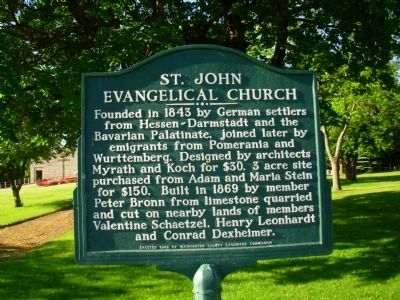
2. St. John Evangelical Church Marker
North side of double sided marker
Photographed by Paul F, June 3, 2010
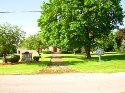
3. St. John Evangelical Church Marker
Marker with church in background behind trees
Photographed by Paul F, June 3, 2010
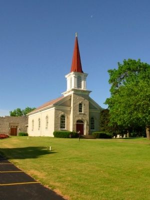
4. St. John Evangelical Church
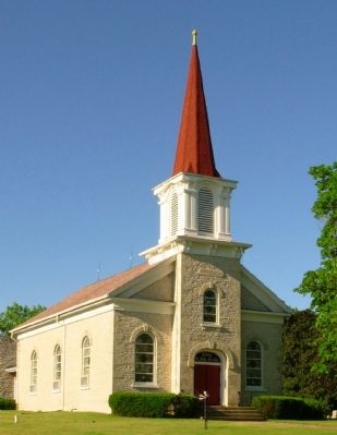
Photographed by Paul F, June 3, 2010
5. St. John Evangelical Church
Credits. This page was last revised on November 23, 2025. It was originally submitted on June 3, 2010, by Paul Fehrenbach of Richfield, Wisconsin. This page has been viewed 1,744 times since then and 22 times this year. Last updated on November 22, 2025, by Carl Gordon Moore Jr. of North East, Maryland. Photos: 1, 2, 3, 4, 5. submitted on June 3, 2010, by Paul Fehrenbach of Richfield, Wisconsin. • Devry Becker Jones was the editor who published this page.
