Alto in Cherokee County, Texas — The American South (West South Central)
Terrell Lodge No. 83 A.F. & A.M.
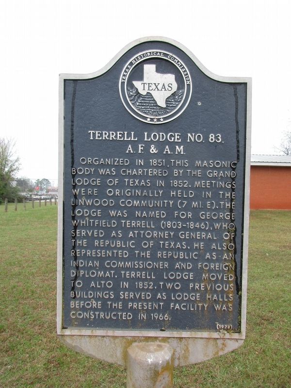
Photographed by Jeff Leichsenring, December 1, 2025
1. Terrell Lodge No. 83 A.F. & A.M. Marker
Erected 1978 by Texas Historical Commission. (Marker Number 6865.)
Topics. This historical marker is listed in this topic list: Fraternal or Sororal Organizations.
Location. 31° 39.07′ N, 95° 4.307′ W. Marker is in Alto, Texas, in Cherokee County. It is at the intersection of San Antonio Road (State Highway 21) and Ochiltree Street, on the right when traveling west on San Antonio Road. Touch for map. Marker is in this post office area: Alto TX 75925, United States of America. Touch for directions.

Regionally, this marker is in the American South, specifically in the Deep South, and in the
this page online
Other nearby markers. At least 8 other markers are within 2 miles of this marker, measured as the crow flies: Kings Highway Camino Real — Old San Antonio Road (about 400 feet away, measured in a direct line); A. Frank Smith United Methodist Church (about 700 feet away); Robert F. Mitchell (approx. ¼ mile away); Stella Salmon Hill (approx. ¼ mile away); Camp Alto, World War II Prisoner of War Camp (approx. 1.2 miles away); Site of the Delaware Indian Village (approx. 1½ miles away); Site of Lacy's Fort (approx. 1.7 miles away); In the Present County of Cherokee (approx. 1.9 miles away). Touch for a list and map of all markers in Alto.
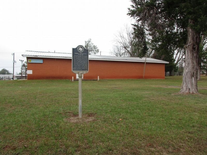
Photographed by Jeff Leichsenring, December 1, 2025
2. Terrell Lodge No. 83 A.F. & A.M. and marker
Credits. This page was last revised on December 4, 2025. It was originally submitted on December 3, 2025, by Jeff Leichsenring of Garland, Texas. This page has been viewed 78 times since then and 47 times this year. Photos: 1, 2. submitted on December 3, 2025, by Jeff Leichsenring of Garland, Texas. • James Hulse was the editor who published this page.
