Ancaster in Hamilton, Ontario — Central Canada (North America)
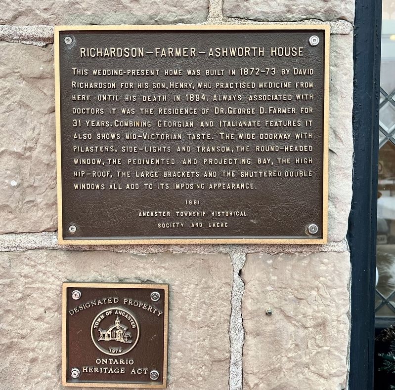
Richardson-Farmer-Ashworth House
Photographed by Tim Boyd, December 6, 2025
1. Richardson-Farmer-Ashworth House Marker
Erected 1981 by Ancaster Township Historical Society and LACAC.
Topics. This historical marker is listed in this topic list: Architecture. A significant historical year for this entry is 1872.
Location. 43° 13.619′ N, 79° 58.607′ W. Marker is in Hamilton, Ontario. It is in Ancaster. It is on Wilson Street East 0.1 kilometers east of Sulphur Springs Road, on the right when traveling west. Touch for map. Marker is at or near this postal address: 351 Wilson Street E, Hamilton ON L9G 2C1, Canada. Touch for directions.

Regionally, this marker is on the Golden Horseshoe, in the
this page online
Other nearby markers. At least 8 other markers are within walking distance of this marker: “The Bloody Assize” 1814 (within shouting distance of this marker); Ancaster Township Hall (about 150 meters away, measured in a direct line); The Founding of Ancaster (about 150 meters away); Marr-Phillipo House (about 210 meters away); The Gore Gazette (approx. 0.3 kilometers away); St. John’s Church (approx. 0.3 kilometers away); Mills of Ancaster (approx. 0.8 kilometers away); Ancaster Old Mill (approx. 0.8 kilometers away). Touch for a list and map of all markers in Hamilton.
Photographed by Tim Boyd, December 6, 2024
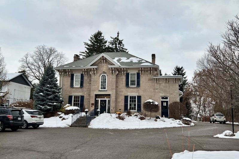
2. Richardson-Farmer-Ashworth House Marker
To the left of the central doorway
Photographed by Tim Boyd, December 6, 2025
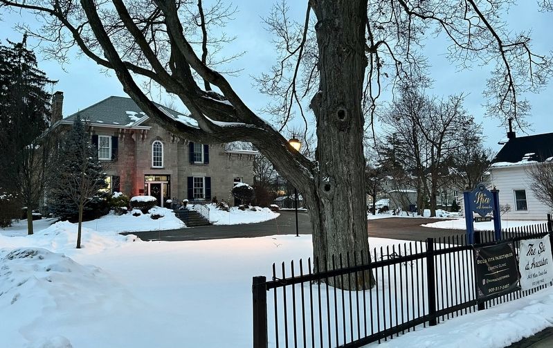
3. Richardson-Farmer-Ashworth House Marker
View from Wilson Street East
Photographed by Tim Boyd, December 6, 2025
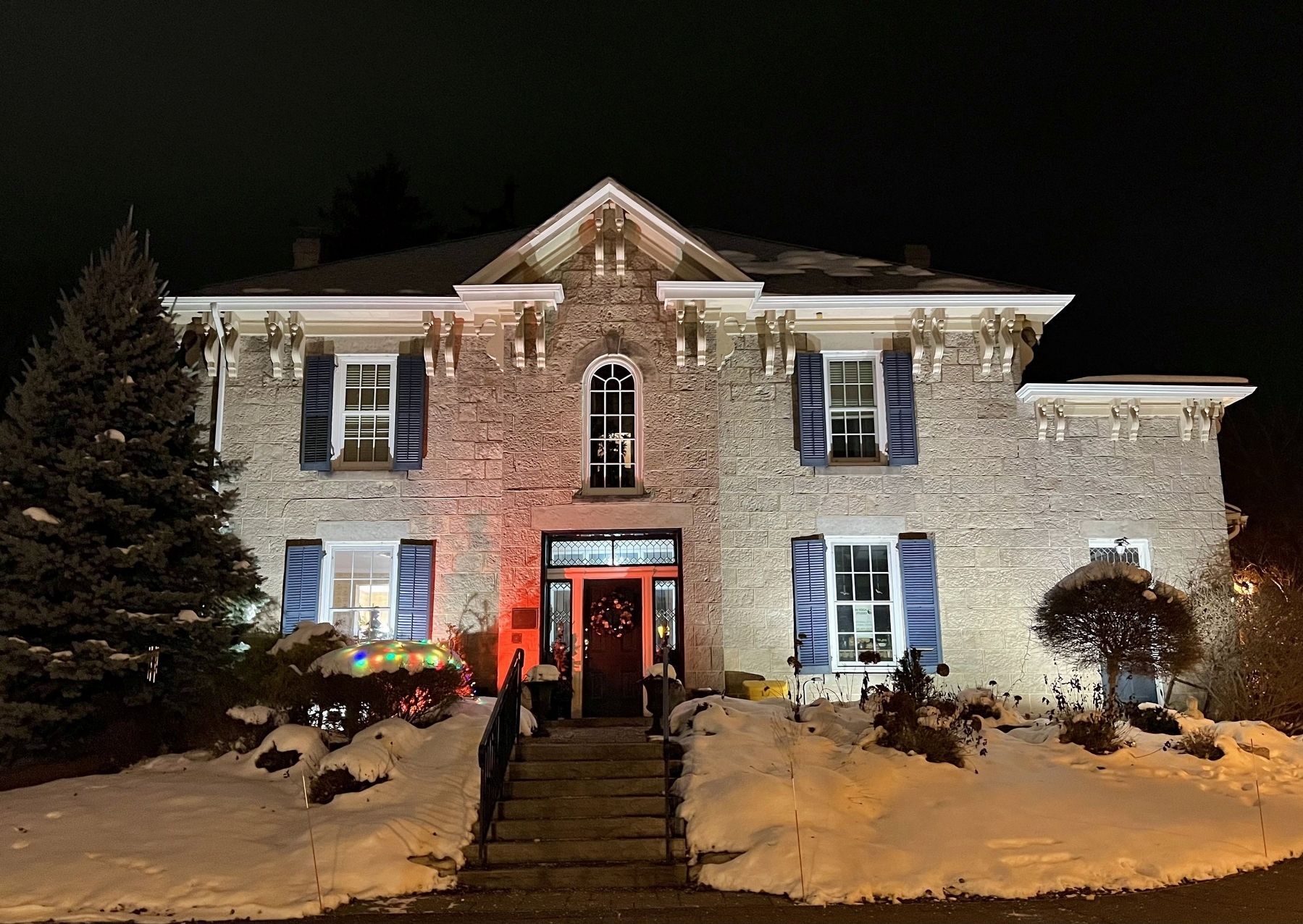
4. Richardson-Farmer-Ashworth House in 2025
Credits. This page was last revised on December 8, 2025. It was originally submitted on December 7, 2025, by Tim Boyd of Hamilton, Ontario. This page has been viewed 63 times since then and 32 times this year. Photos: 1, 2, 3, 4. submitted on December 7, 2025, by Tim Boyd of Hamilton, Ontario. • Andrew Ruppenstein was the editor who published this page.
