
Griffin in Posey County, Indiana — The American Midwest (Great Lakes)
Griffin Oil Discovery

Photographed by Duane and Tracy Marsteller, November 30, 2025
1. Griffin Oil Discovery Marker, Side One
On December 14, 1938, at 8:20 p.m. oil was struck north of here at Fitzpatrick and Hayes #1 Cooper well. A gusher, it produced an estimated 1,000 barrels a day and began an oil boom in Griffin and the surrounding area. By 1941, 120 oil wells in this area were producing oil. Annual oil production in Indiana peaked 1956 at over 12 million barrels.
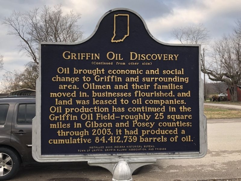
Oil brought economic and social change to Griffin and surrounding area. Oilmen and their families moved in, businesses flourished, and land was leased to oil companies. Oil production has continued in the Griffin Oil Field-roughly 25 square miles in Gibson and Posey counties; through 2003, it had produced a cumulative 84,412,739 barrels of oil.
Erected 2005 by Indiana Historical Bureau; Town of Griffin; Griffin Alumni Association; and friends.
Topics and series. This historical marker is listed in these topic lists: Industry & Commerce • Natural Resources. In addition, it is included in the Indiana Historical Bureau Markers series list. A significant historical date for this entry is December 14, 1938.
Location. 38° 12.281′ N, 87° 54.874′ W. Marker is in Griffin, Indiana, in Posey
this page online

Regionally, this marker is in the Tri-State Region and in Southern Indiana. It is also in the American Midwest, in the Ohio River Valley, and in the Corn Belt. Globally, it is in North America, the Western Hemisphere, the Western World, and the Anglosphere. Historically, it finds itself in what was once the territory of the Mississippian Culture and also the Northwest Territory.
Other nearby markers. At least 8 other markers are within 6 miles of this marker, measured as the crow flies: Tri-State Tornado (here, next to this marker); Illinois Remembers POW/MIA (approx. 4½ miles away in Illinois); Maclure Park Bandstand (approx. 5.2 miles away); Rappite Community House No. 2 (approx. 5.3 miles away); New Harmony Area Veterans Memorial (approx. 5.3 miles away); New Harmony (approx. 5.3 miles away); New Harmony, Indiana (1814-1827) (approx. 5.3 miles away); David Dale Owen
Photographed by Duane and Tracy Marsteller, November 30, 2025
2. Griffin Oil Discovery Marker, Side Two
Photographed by Duane and Tracy Marsteller, November 30, 2025
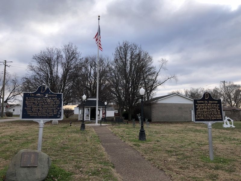
3. Griffin Oil Discovery Marker
Featured marker is on the right.
Credits. This page was last revised on December 23, 2025. It was originally submitted on December 8, 2025, by Duane and Tracy Marsteller of Murfreesboro, Tennessee. This page has been viewed 77 times since then and 48 times this year. Photos: 1, 2, 3. submitted on December 8, 2025, by Duane and Tracy Marsteller of Murfreesboro, Tennessee. • Devry Becker Jones was the editor who published this page.
