
Griffin in Posey County, Indiana — The American Midwest (Great Lakes)
Tri-State Tornado

Photographed by Duane and Tracy Marsteller, November 30, 2025
1. Tri-State Tornado Marker, Side One
At 4:00 p.m. on March 18, 1925, a tornado arrived in Indiana after devastating parts of Missouri and Illinois. The town of Griffin was destroyed the Owensville area and Princeton suffered heavy losses. Hundreds were injured; 26 were killed. Within hours, help came from nearby towns, the American Red Cross, and the Indiana National Guard.
Heavy rains caused the Wabash River to flood and March 23, 1925 the only way Coach Griffin Was by boat or railroad. Within weeks, Griffin was slowly being rebuilt. After a year, much of the town was rebuilt. including a Schoolhouse, one church, and a grain elevator. This tornado is still rated the deadliest in US weather history.
Topics and series. This historical marker is listed in this topic list: Disasters. In addition, it is included in the Indiana Historical Bureau Markers series list. A significant historical date for this entry is March 18, 1925.
Location. 38° 12.281′ N, 87° 54.874′ W. Marker is in Griffin, Indiana, in Posey County. It is at the intersection of North Main Street and 1st Street, on the right when traveling north on North Main Street. Touch for map. Marker is at or near
this page online

Regionally, this marker is in the Tri-State Region and in Southern Indiana. It is also in the American Midwest, in the Ohio River Valley, and in the Corn Belt. Globally, it is in North America, the Western Hemisphere, the Western World, and the Anglosphere. Historically, it finds itself in what was once the territory of the Mississippian Culture and also the Northwest Territory.
Other nearby markers. At least 8 other markers are within 6 miles of this marker, measured as the crow flies: Griffin Oil Discovery (here, next to this marker); Illinois Remembers POW/MIA (approx. 4½ miles away in Illinois); Maclure Park Bandstand (approx. 5.2 miles away); Rappite Community House No. 2 (approx. 5.3 miles away); New Harmony Area Veterans Memorial (approx. 5.3 miles away); New Harmony (approx. 5.3 miles away); New Harmony, Indiana (1814-1827) (approx. 5.3 miles away); David Dale Owen (approx. 5.3 miles away).
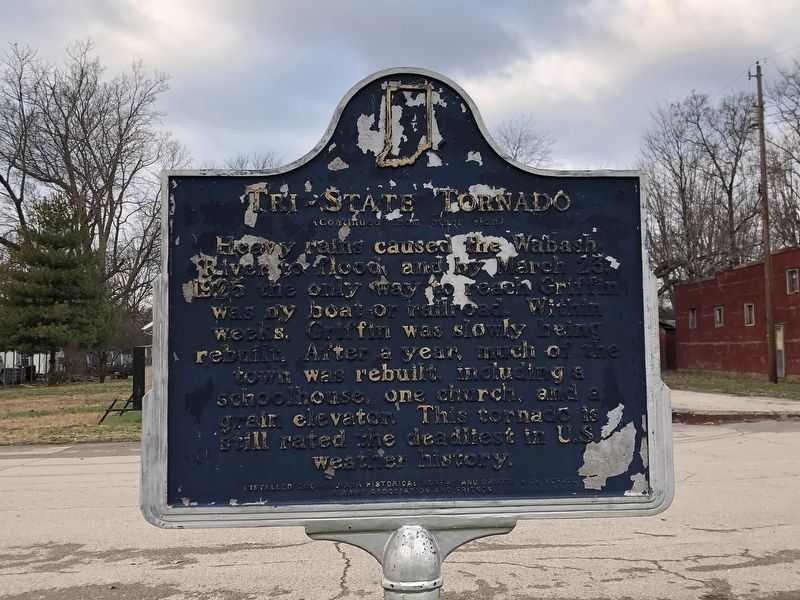
Photographed by Duane and Tracy Marsteller, November 30, 2025
2. Tri-State Tornado Marker, Side Two
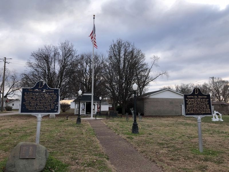
Photographed by Duane and Tracy Marsteller, November 30, 2025
3. Griffin Oil Discovery Marker
Featured marker is on the left.
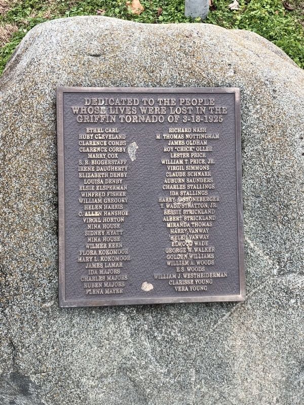
Photographed by Duane and Tracy Marsteller, November 30, 2025
4. Tri-State Tornado Memorial
Credits. This page was last revised on December 23, 2025. It was originally submitted on December 8, 2025, by Duane and Tracy Marsteller of Murfreesboro, Tennessee. This page has been viewed 93 times since then and 63 times this year. Photos: 1, 2, 3, 4. submitted on December 8, 2025, by Duane and Tracy Marsteller of Murfreesboro, Tennessee. • Devry Becker Jones was the editor who published this page.
